I wasn’t in a particular hurry the next morning, primarily because I knew that the museum at my planned destination for the day was only open in the summer. Still, I liked the idea of visiting the Fetsund Lenser site, which is located between the settlements of Nerdrum and Fetsund. It’s better (and closer) to take the train to Nerdrum. So that’s what I did.
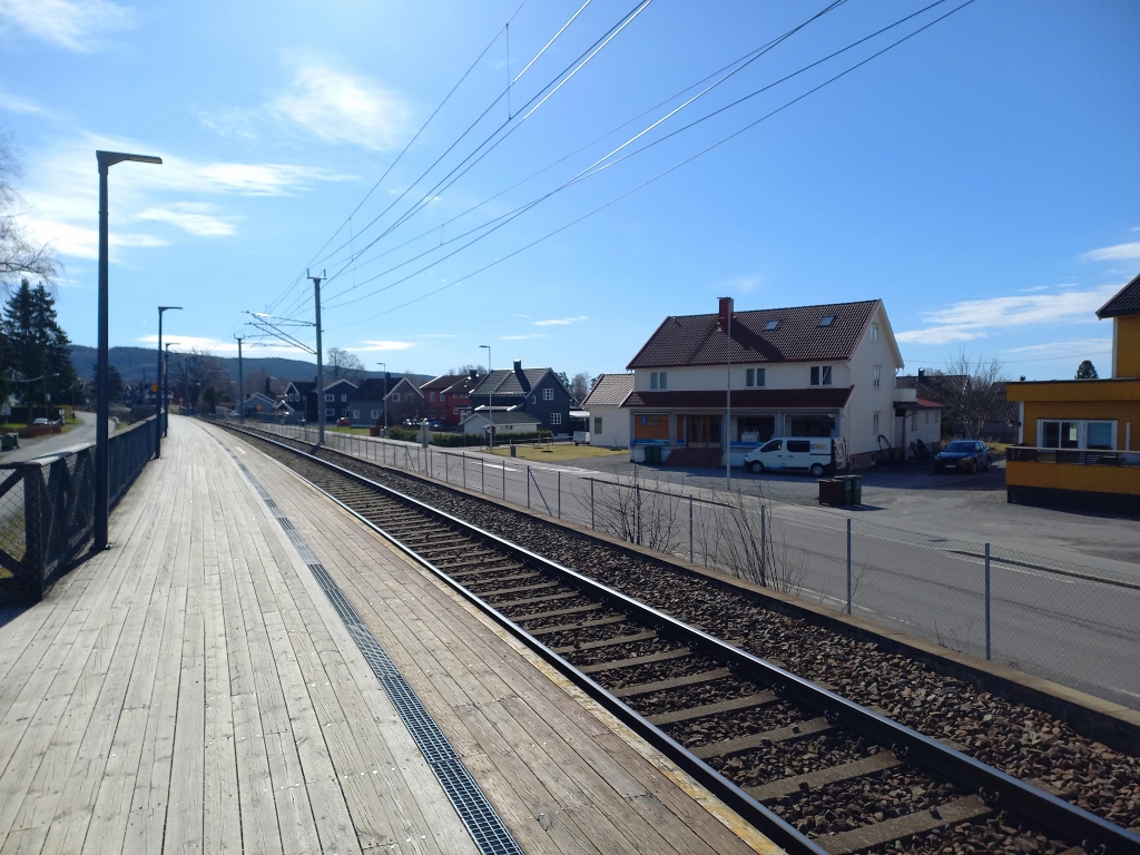 Train station in Nerdrum
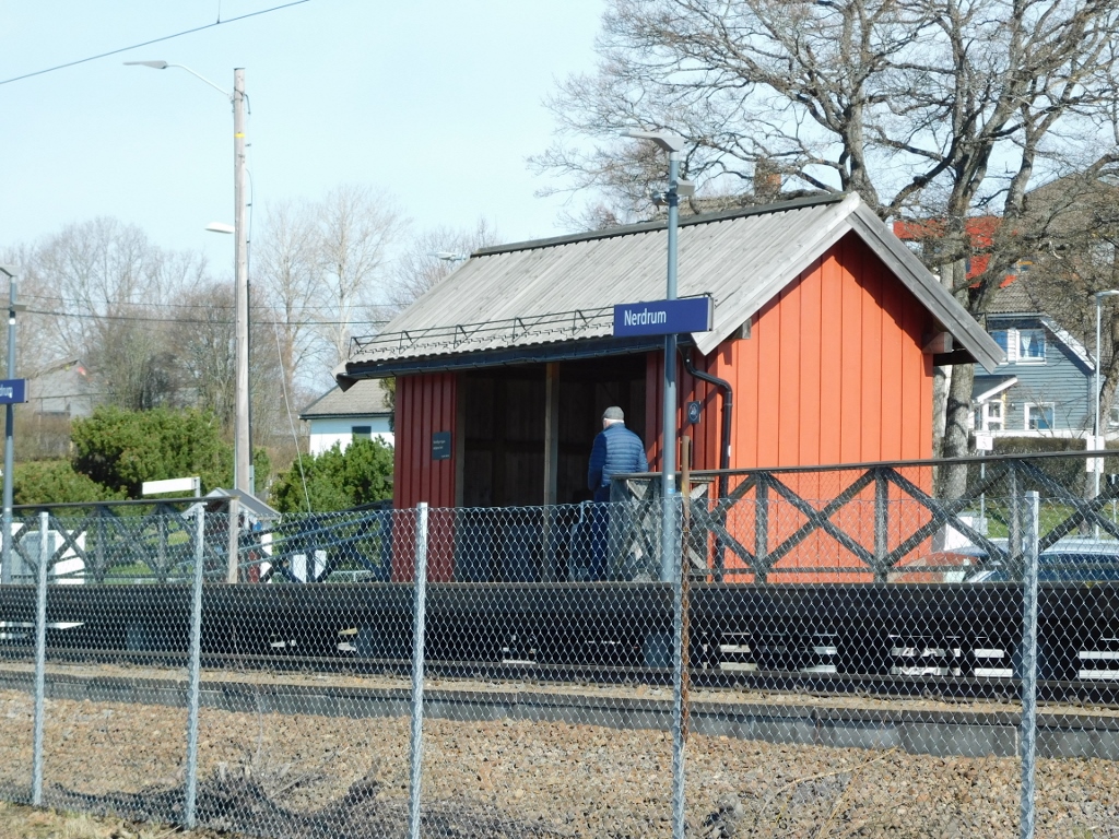 Train station in Nerdrum
From there to my destination was less than a kilometre and I quite enjoyed walking through the “sleepy” settlement.
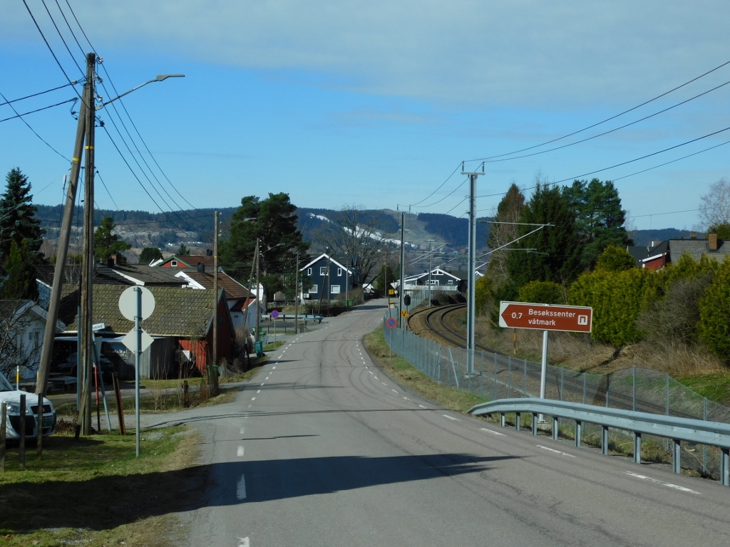 Nerdrum, a detail
Almost the only living beings I saw along the way, aside from a few cars that passed by, were birds. For example, a fieldfare (Turdus pilaris) and a flock in the sky that likely consisted of graylag geese (Anser anser).
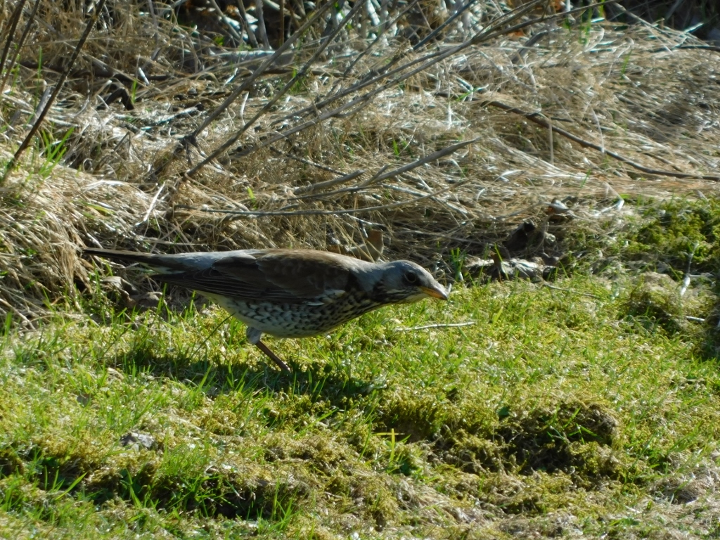 Fieldfare
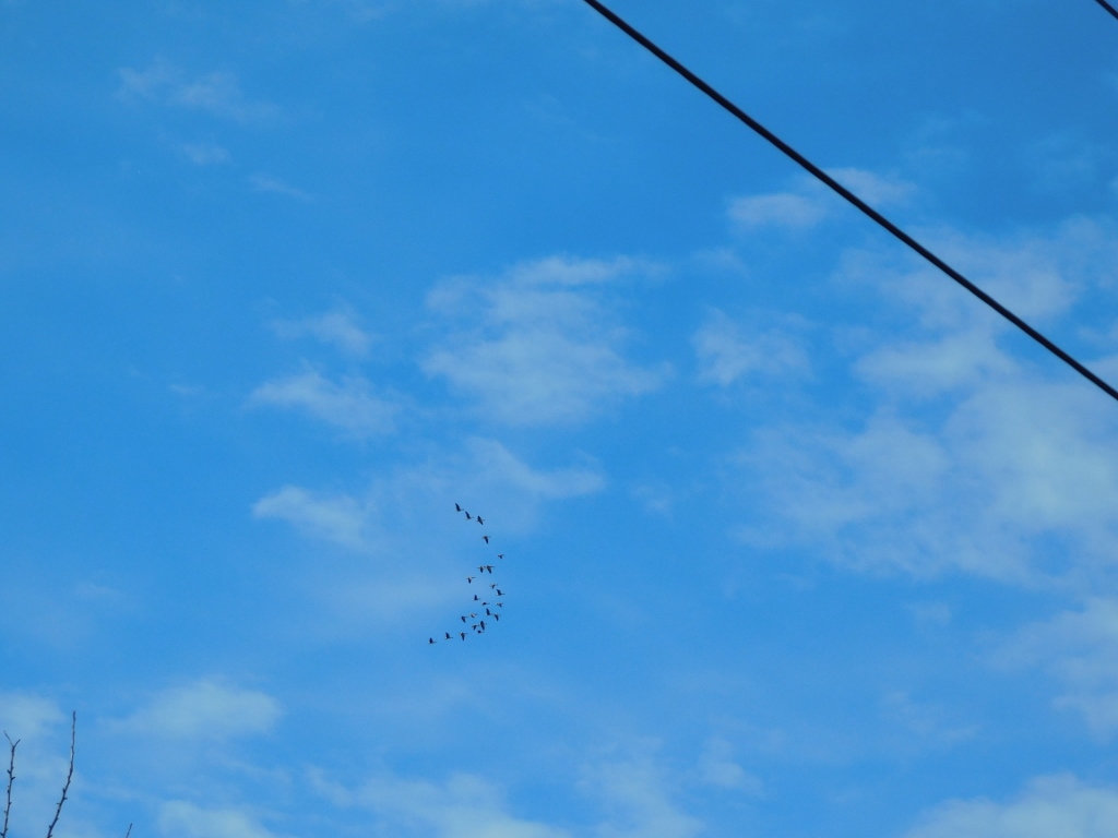 Flock of graylag geese
Following the path, I also arrived at a spot where one can descend to the Glomma River
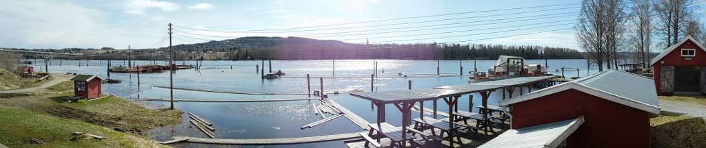 The Glomma River
The Fetsund Lenser site is a national heritage monument in Norway. During the season, you can visit a museum dedicated to timber floating, which was a method of transporting logs down the river, that also serves as a nature centre. This is because the site is located at the entrance to the Northern Øyeren nature reserve, which is the name for the northernmost inland delta in Europe. Namely, the Glomma River, the longest river in Norway (621 km), flows into Lake Øyeren and creates a delta before continuing as a river until it reaches the sea, where it empties into the Oslofjord.
Fetsund Lenser was used to collect and sort timber logs floating down the Glomma River. The practice of floating cut trees down rivers dates back to the Middle Ages, but significantly expanded from the 16th century with the increased export of timber, particularly to England and the Netherlands. The owners of forests upstream from Fetsund Lenser banded together to create this site. Logs would initially be marked with the owner’s brand and then gathered and sorted here. The season ran from May to September, during which up to 14 million logs could be sorted. This practice continued until 1985, while today the museum includes 2.5 km of floating paths.
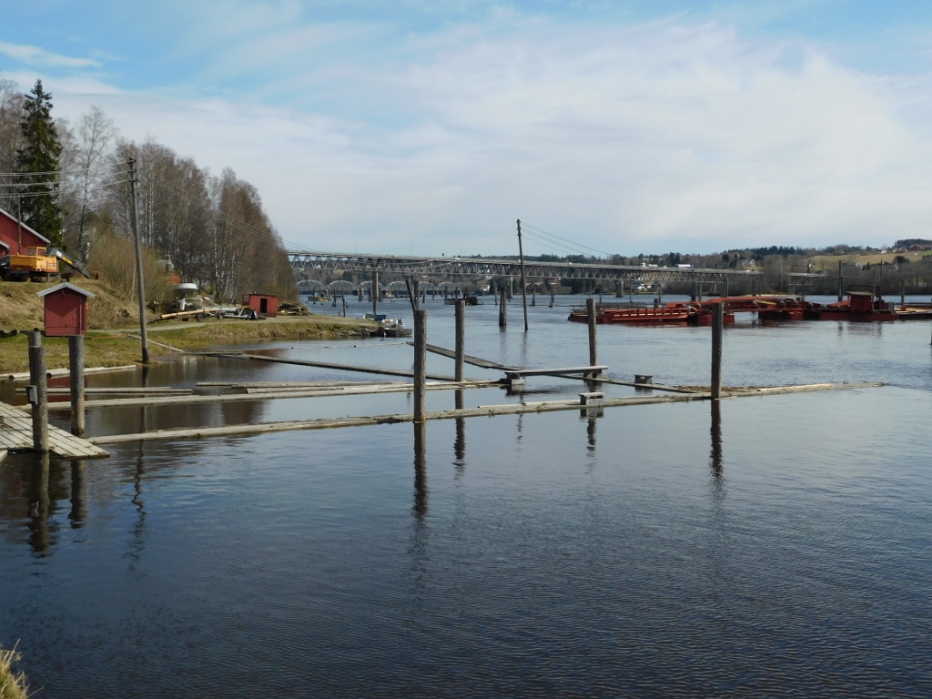 The Glomma River and parts of the Fetsund Lenser site
The floating platforms were used by workers who guided the logs. The paths were typically made of four thick boards and were constructed during winter. For everything to function properly, three types of workers were needed: those who worked year-round and lived nearby, those who were hired in the fall to assist with maintenance and cleaning, and seasonal workers. This seasonal rhythm was strictly followed because logs couldn’t be transported down the river in winter, so this time was used for maintaining the site, repairing machinery and boats. Even today, maintenance is carried out in winter, while the museum is open only during the summer.
Since the museum was closed in April, I came here to take a walk by the river and I must admit that I thoroughly enjoyed it.
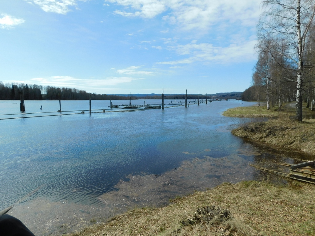 The Glomma River and parts of the Fetsund Lenser site
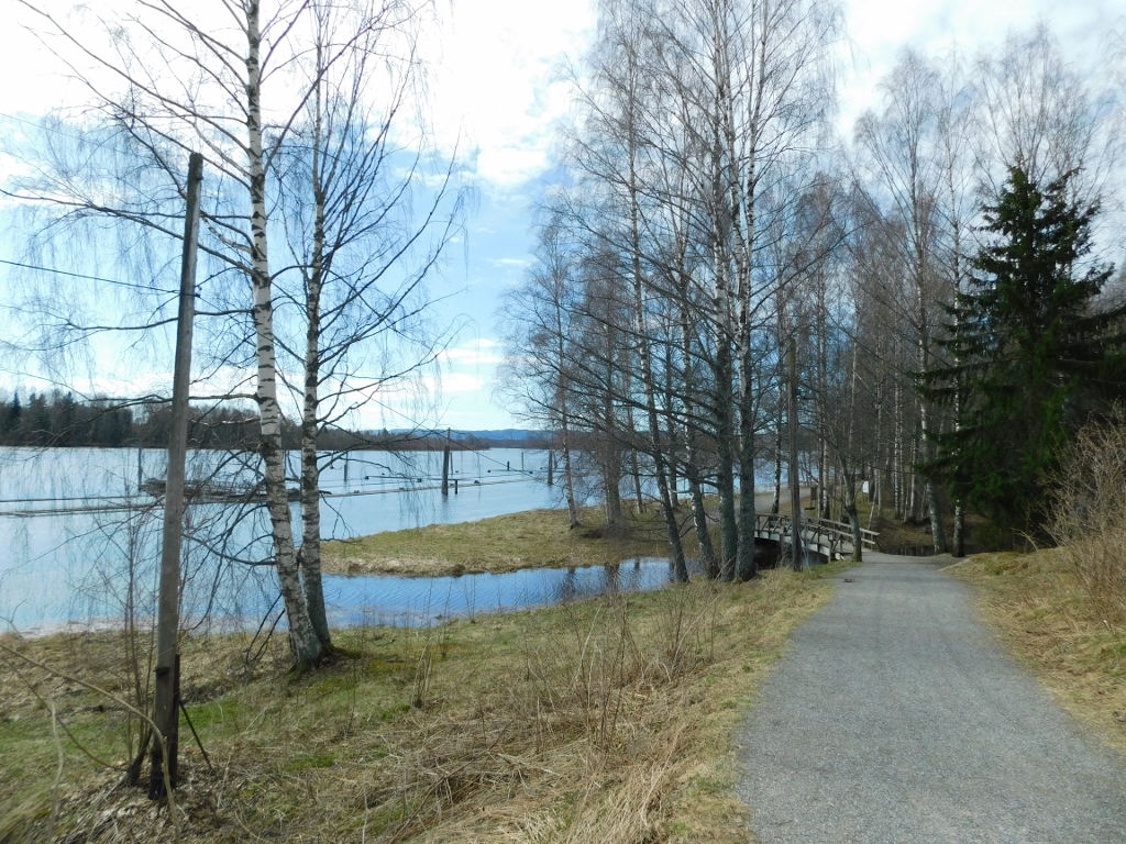 The Glomma River and a walking path
Further along, I saw some small houses between the floating paths, but I’m not sure what their current purpose is.
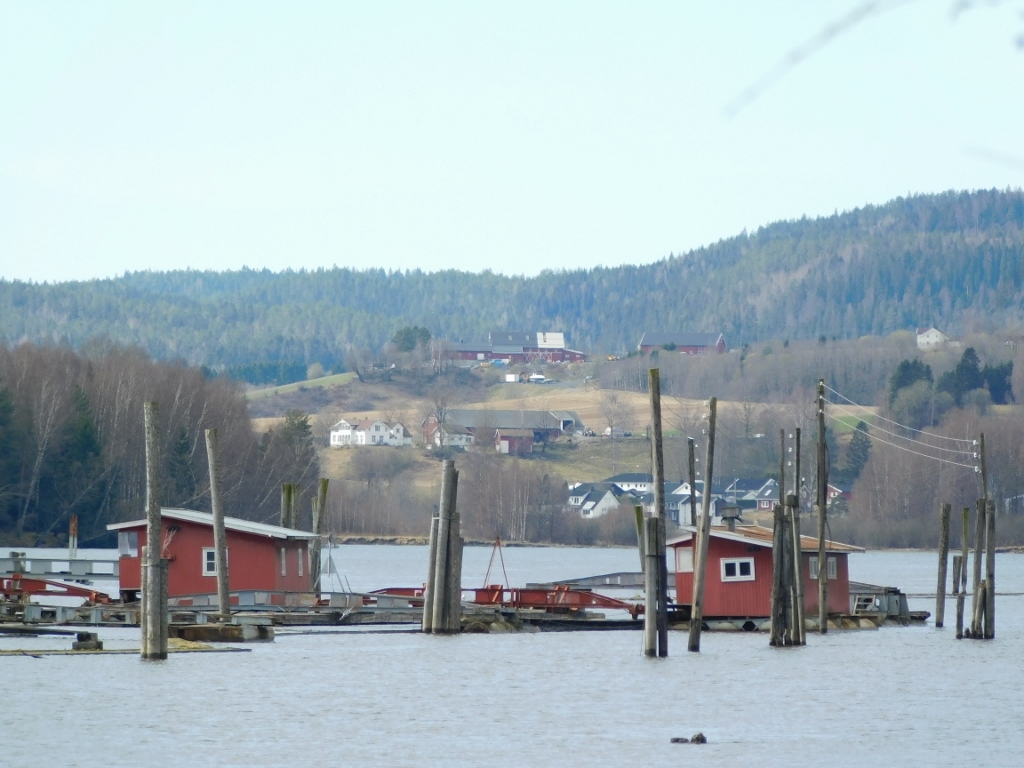 The Glomma River and parts of the Fetsund Lenser site
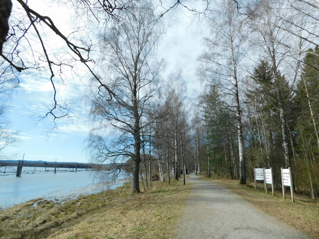 The Glomma River and the walking path
Along the walking path, there are occasional informational signs. For instance, one sign notes that Lake Øyeren is home to 25 species of fish, making it the body of water with the highest number of fish species in Norway. Those who are interested and knowledgeable can even fish here.
I, however, was just walking and observing the river and the floating paths stretching down the river.
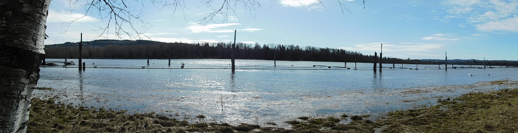 The Glomma River and parts of the Fetsund Lenser site
But although the river looked very beautiful and placid that day, this can be very deceptive. I passed by a stone pillar marking historical water levels of the river. The Glomma River has occasionally risen significantly and the entire area would become flooded. However, after the floods of 1967 (the level from that year is marked at about a third of the way up the pillar), a dam was constructed, along with diversion tunnels for the water, so the situation is much better today. For example, in 1995, the water flow in the river was much higher than in 1967, but the flood level was significantly lower – a mark that can be seen on the base of the pillar.
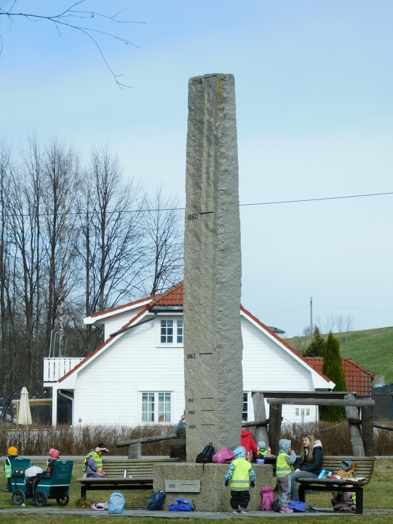 Pillar marking the historical water levels of the Glomma River
Having photographed the stone pillar, I continued with my walk.
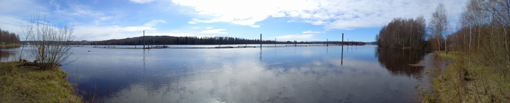 The Glomma River
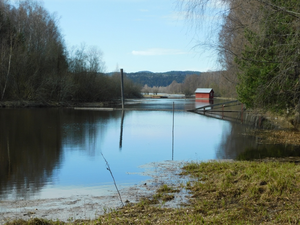 Branch of the Glomma River
Soon, I also arrived at a sawmill. The first sawmill was established here in 1908, but it was replaced by a new one in the mid-20th century, which burned down in 1986. When the museum was opened, the currently visible sawmill was donated by a municipality and relocated here.
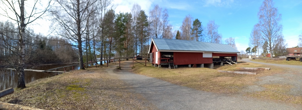 Sawmill at the Fetsund Lenser site
The sawmill is still used today to cut materials for the maintenance and restoration of the buildings and facilities.
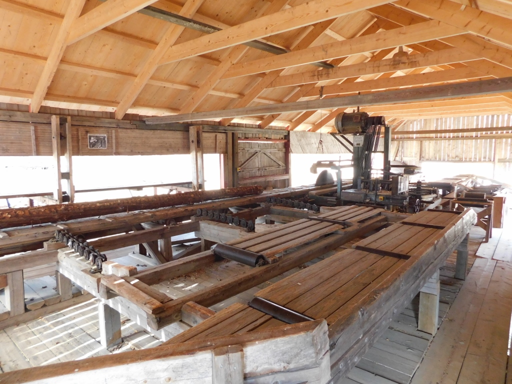 Sawmill at the Fetsund Lenser site
Logs are transferred from the river to the sawmill via a "bridge" and then they are cut into planks there.
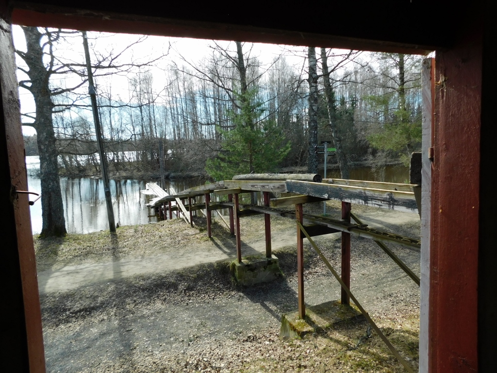 Sawmill at the Fetsund Lenser site
I walked along the path underneath the bridge and continued further. There is a café-restaurant here, but like the rest of the open-air museum, it was closed.
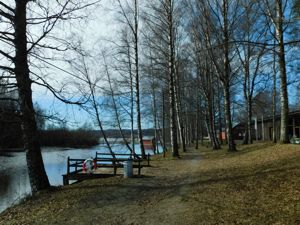 Fetsund Lenser
And then I reached a place where I could cross onto a floating path. Although there was a warning sign stating that the paths are used at one's own risk due to strong river currents, I still felt compelled to walk a bit on it. I followed the advice on the warning sign to stay in the middle of the path. This was truly important, as I didn't see anyone around and it would have been quite inconvenient for me to fall into the cold river.
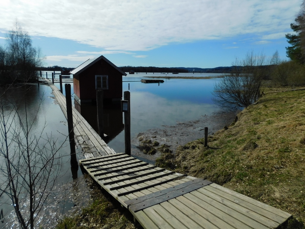 Fetsund Lenser
 Fetsund Lenser and the Glomma River
Although the surface of the river in this area was as smooth as glass, it was clear that the current was moving quite swiftly in the middle. However, I had no intention of going very far.
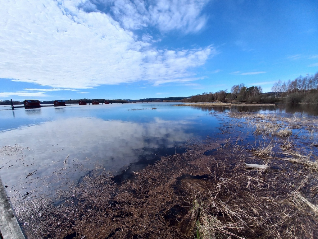 Fetsund Lenser and the Glomma River
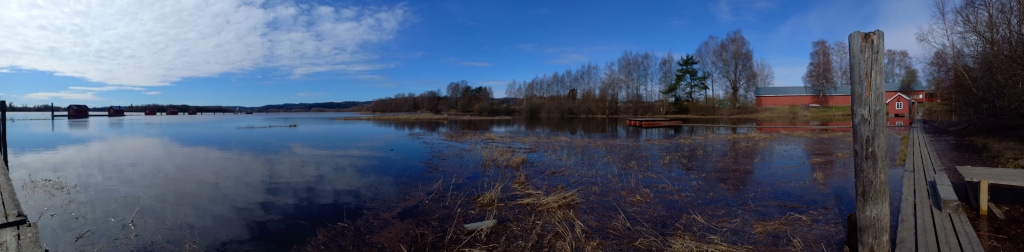 Fetsund Lenser and the Glomma River
As I was returning to the solid ground, I remembered to take a selfie, making sure to watch where I was standing.
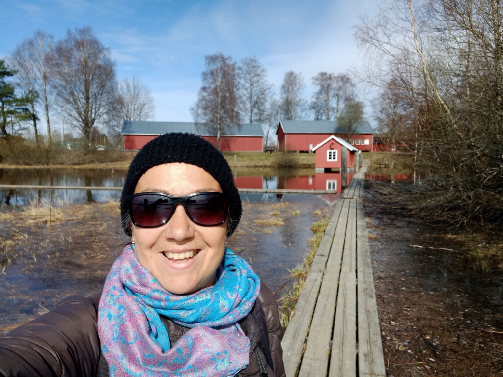 At the Fetsund Lenser site
I played around with photographing a bit more and soon I was back on terra firma. The little adventure went well.
 Fetsund Lenser and the Glomma River
Continuing my walk, I photographed the small houses connected by floating paths, as well as the left bank of the Glomma River.
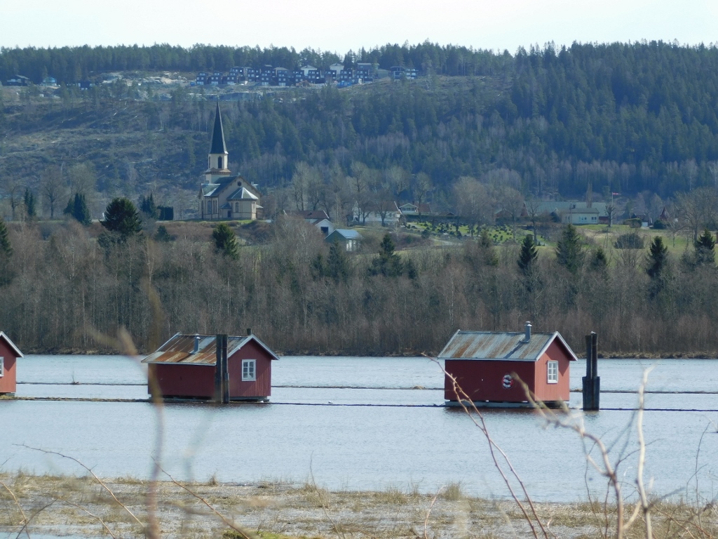 Fetsund Lenser and the Glomma River
I also photographed the wide path and, further along, I spotted some people.
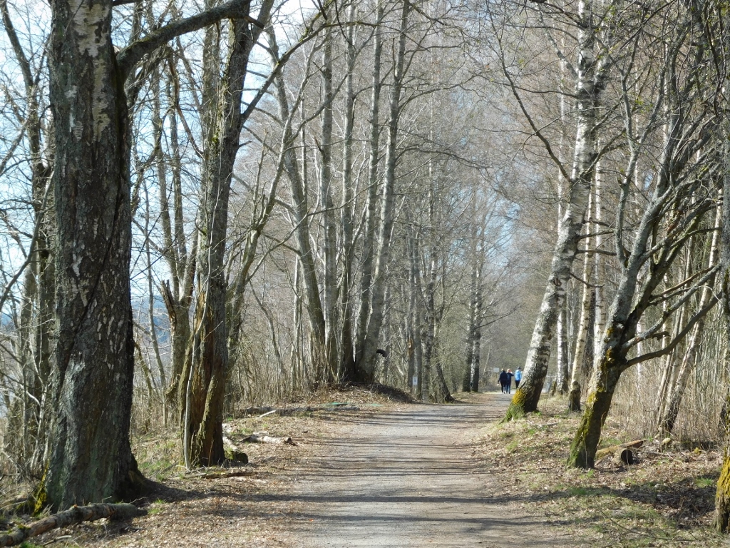 Path alongside the Glomma River
I have already mentioned that the Northern Øyeren nature reserve, established in 1975, is located here. This part of the lake with its delta, where there is practically a wetland area, holds international significance due to the thousands of migratory birds that stop here every spring and fall. Not only does the delta provide food, but it also offers safe resting spots.
I did see some birds, but I think they were local species without international significance. However, I still found them quite interesting. These included the Eurasian nuthatch (Sitta europaea) and the Eurasian blue tit (Cyanistes caeruleus).
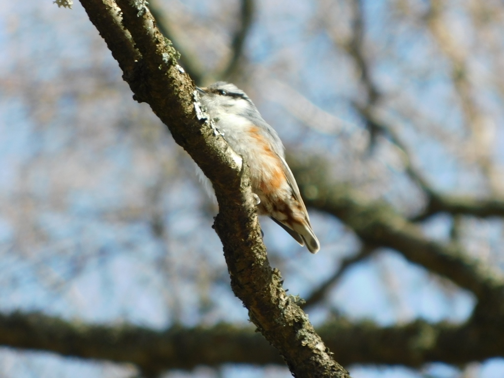 Eurasian nuthatch
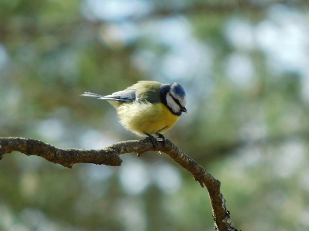 Eurasian blue tit
I walked for about 1.5 km along the river and arrived at a small channel where boats were parked, having been pulled out of the water for the winter.
 The Glomma River
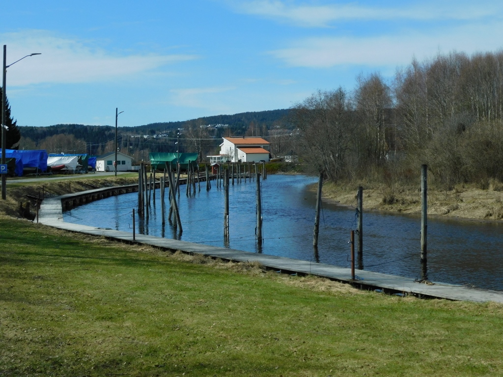 Branch of the Glomma River
When I decided that I had walked enough along the river, I started heading back towards the train station. At first, I followed the river, but then I ventured into the residential areas, walking through the local streets.
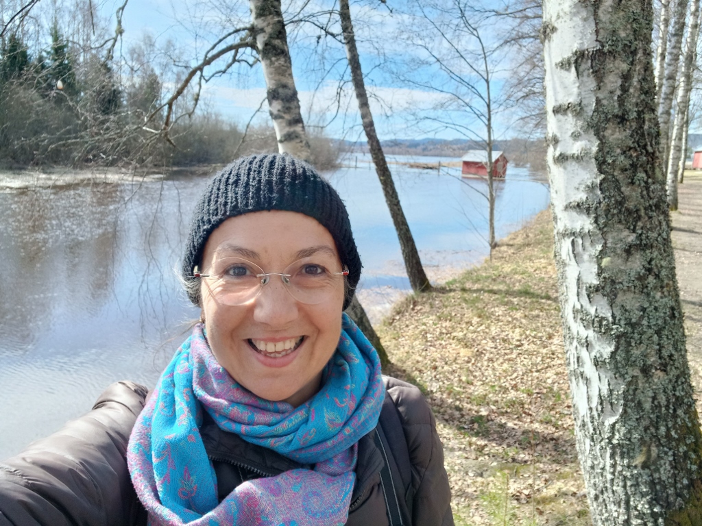 Selfie beside the Glomma River
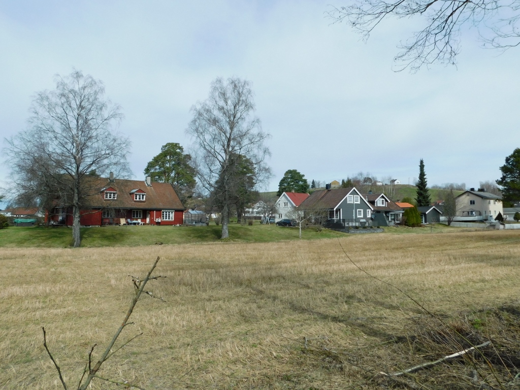 Nerdrum settlement
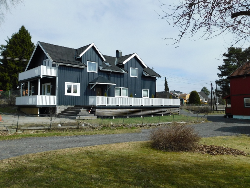 Nerdrum settlement
I didn’t see any people, but I did spot and photograph a white wagtail (Motacilla alba).
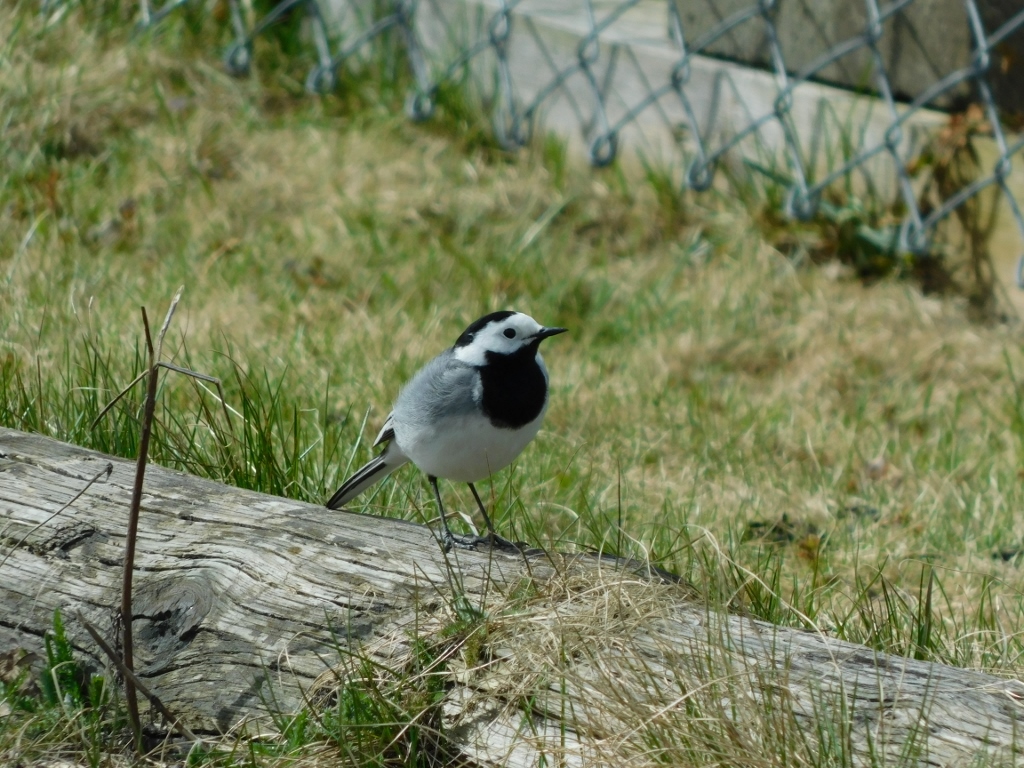 White wagtail
At the station, I had enough time to ponder and my thoughts turned to railways and the modern age. I found it curious to see what a 21st-century railway station looks like, especially in such a small place. There was no one around – just a small building with a bench, a ticket vending machine and a monitor displaying the arrival times of the next trains and their directions.
Perhaps nothing more is needed, but I’m “old school” and appreciate human interaction, even at railway stations when buying tickets. I understand that this way is more efficient on paper (since it doesn’t require paying staff, who are considered a “cost” in economics), but in reality, I’m not sure. Ticket prices tend to rise quickly due to “greater efficiency” and profits continuously “must” increase to raise stock values, so for passengers, it’s about the same in the end.
I’m beginning to be bothered by how everything is viewed through the lens of money. I remembered the self-critique from the Norwegian Museum of Cultural History (see: https://www.svudapodji.com/en/norway-2/) and the mentioning of the past enrichment through the slave trade. If that were “in” today, people in positions of power would have no problems seeking to profit and increase stock values, even through the slave trade. I am always shocked when I realise the boundless greed that fills so many members of the human race. Well, that’s how my thoughts went from the local railway station to trade with human beings.
Still, I also observed my surroundings and noticed that, even in late April, there was still snow on some of the slopes.
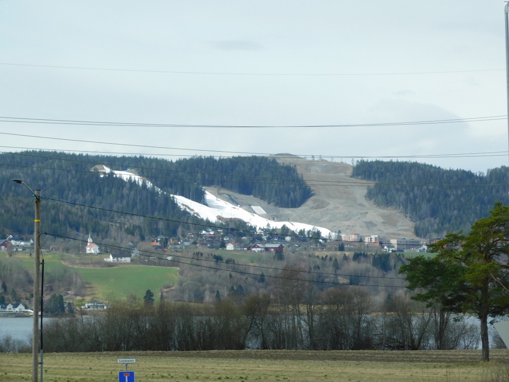 Snow around Nerdrum
Since the train arrived on time, I settled in comfortably, and about 20 minutes later I was at Oslo Central Station.
Then I headed towards a museum, taking one of the main streets in the city, Karl Johans St. (Karl Johans Gate).
This street extends from the railway station to the Royal Palace. The first part is earmarked for pedestrians, but later on, it accommodates both pedestrians and vehicles, though it remains commercial throughout. It's a lovely street for a stroll, passing by some beautiful buildings. Along the way, you come across the Parliament building, a park in front of the National Theatre and the theatre itself, while at the elevated areas, you can see the Royal Palace surrounded by a park. You also pass by the University of Oslo.
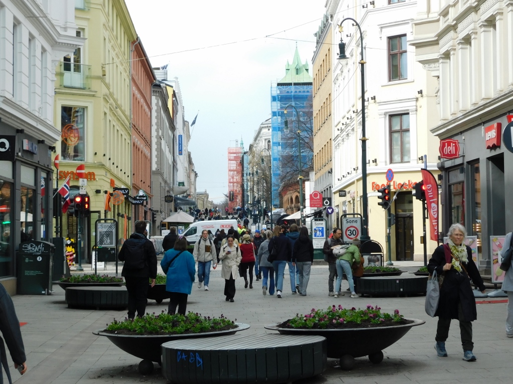 Pedestrian section of Karl Johans gate
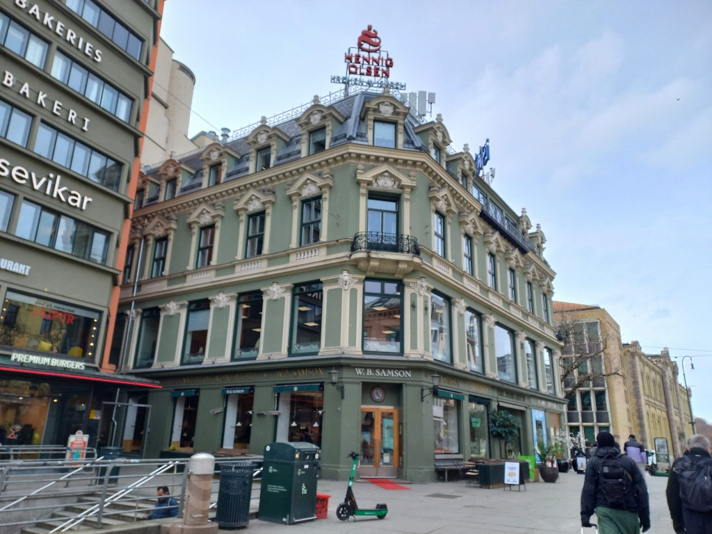 Karl Johans Gate, a detail
At one point, I realised I needed to grab something to eat, but I was eager to reach the museum before it closed. This meant that a regular sit-down restaurant wasn't an option. I must admit that restaurants often don’t suit me because of the time I spend there – first waiting for the menu, then for the food to arrive and finally for the bill. This is fine when I’m in a relaxed mood, but when I’m sightseeing or in a hurry, it’s simply inconvenient. On the other hand, I need to eat.
This time, I opted for a fast food restaurant – something like a Swedish version of McDonald’s. Since I eat such food maybe once every two years, I wasn’t worried about it and ended up being quite satisfied – full and not having spent much time.
With my stomach full, I continued the stroll down Karl Johans Gate and soon passed by the Norwegian Parliament – Stortinget.
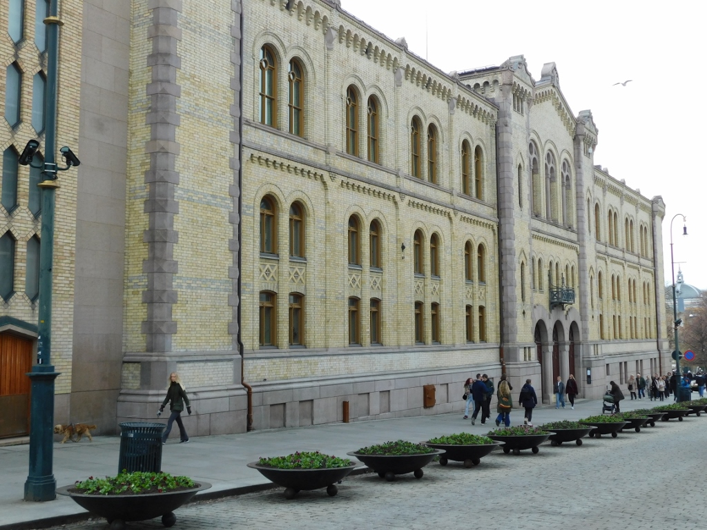 Norwegian Parliament building
The Stortinget Building, with its yellow brick façade and granite foundation, was completed in 1866 and it houses the Norwegian Parliament. Given the current size of the parliament, several other buildings are also used for its functions.
Although the building features various architectural styles, the most beautiful part is the western façade, which faces Storting Park (Stortingsparken).
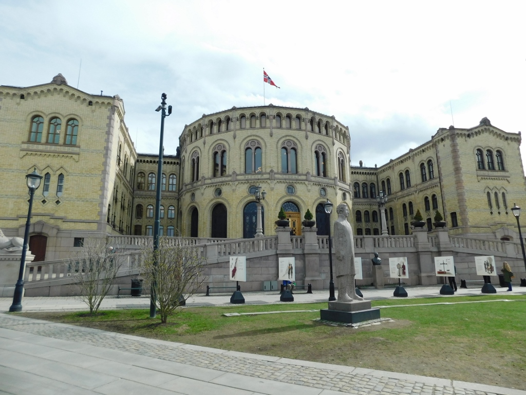 Norwegian Parliament building
There are in fact three green areas that start here, each extending in a linear fashion and separated by streets.
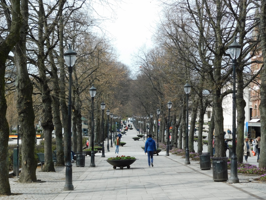 Part of the park in the centre of Oslo
In the third section, as viewed from the Parliament building, known as Student Garden Park (Studenterlunden Park), there is the National Theatre in Oslo (Det Norske Teatret), which I mentioned in a previous part of my travelogue about the visit to Norway in April 2024.
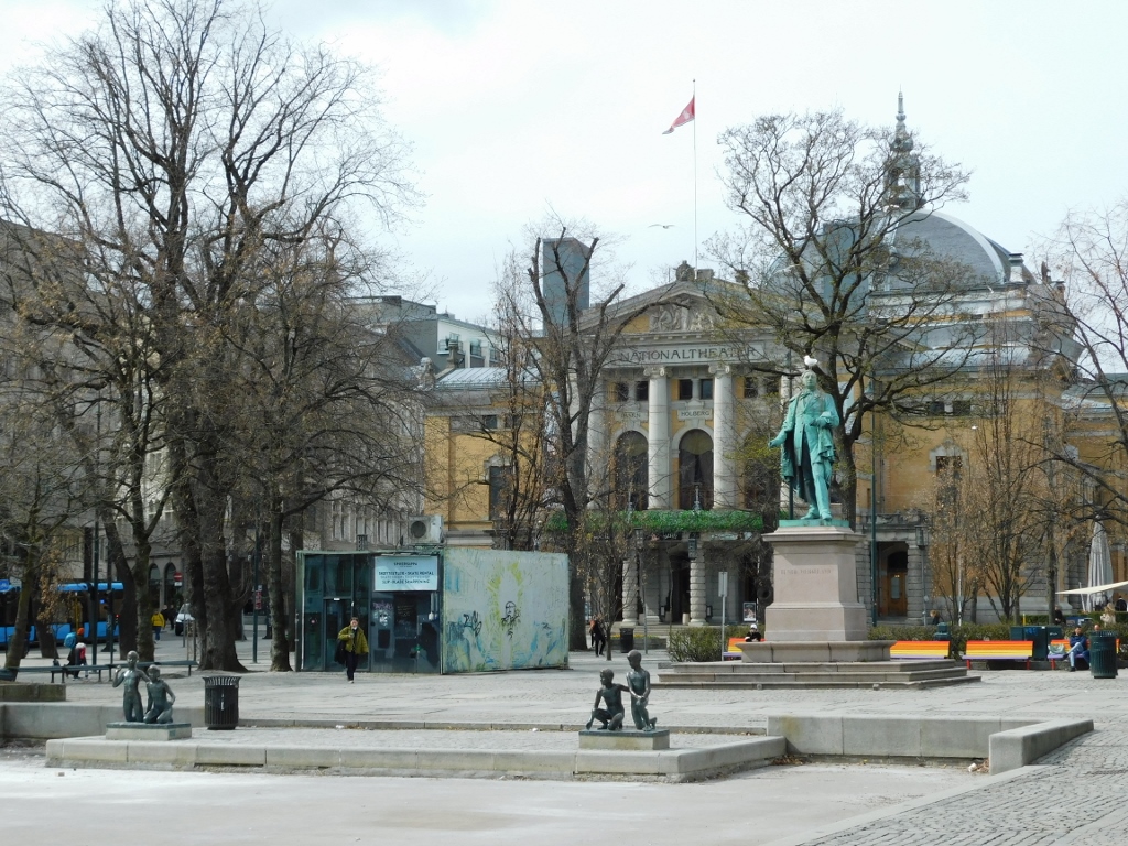 National Theatre in Oslo
However, probably the most important building you can see here, at the end of Karl Johans Gate, is the Royal Palace (Det Kongelige Slott), situated in a park open to the public.
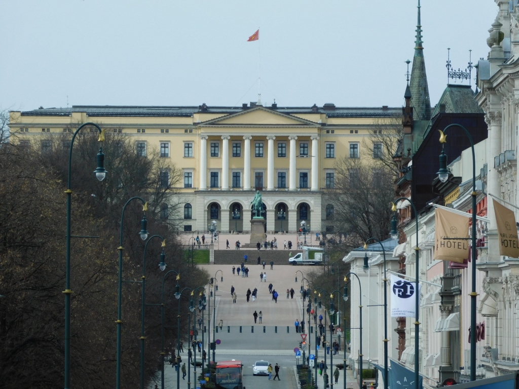 Royal Palace in Oslo
The palace was built in the first half of the 19th century for King Charles III John of Norway (Karl III Johan) (1763-1844), after whom the street is named. He was also King Charles XIV John of Sweden, as Sweden and Norway were united from 1814 following the Napoleonic Wars. Despite his regal titles, he was born Jean-Baptiste Jules Bernadotte, i.e., he was born in France and served as a Marshal of France during the Napoleonic Wars. Interestingly, in 1810, he was chosen to be the successor to the then Swedish king, Charles XIII of Sweden, who had no children, and was formally adopted by him.
As for Karl Johans Gate, in this part of the street where the parks extend on one side, it takes on a more formal and elegant appearance, with upscale hotels and restaurants located on the other side.
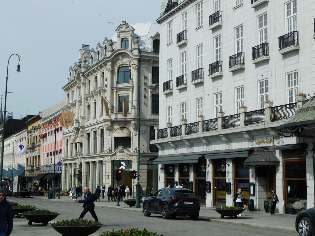 Karl Johans Gate, a detail
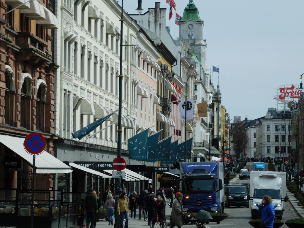 Karl Johans Gate, a detail
But, even along the side streets of Karl Johans Gate, there are interesting sights to see. As I’ve mentioned earlier, I had the impression that Oslo has more monuments and sculptures scattered throughout its streets than any other city I've visited.
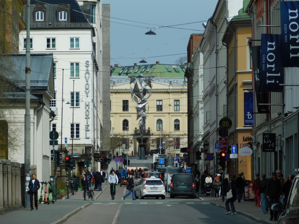 Oslo, a detail
Near the end of the street, across from the park and the National Theatre, there is another significant institution: the central building of the University of Oslo, along with several other university buildings.
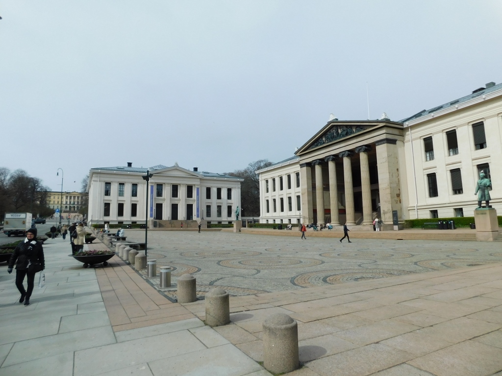 Parts of the University of Oslo (a little farther, on the left-hand side, you can see the Royal Palace)
I walked along some paths to reach the back side of the university's central building, where I first photographed the Old National Gallery. Then, I headed to my main destination at this time: the Historical Museum (Historisk Museum), which I was eager to explore.
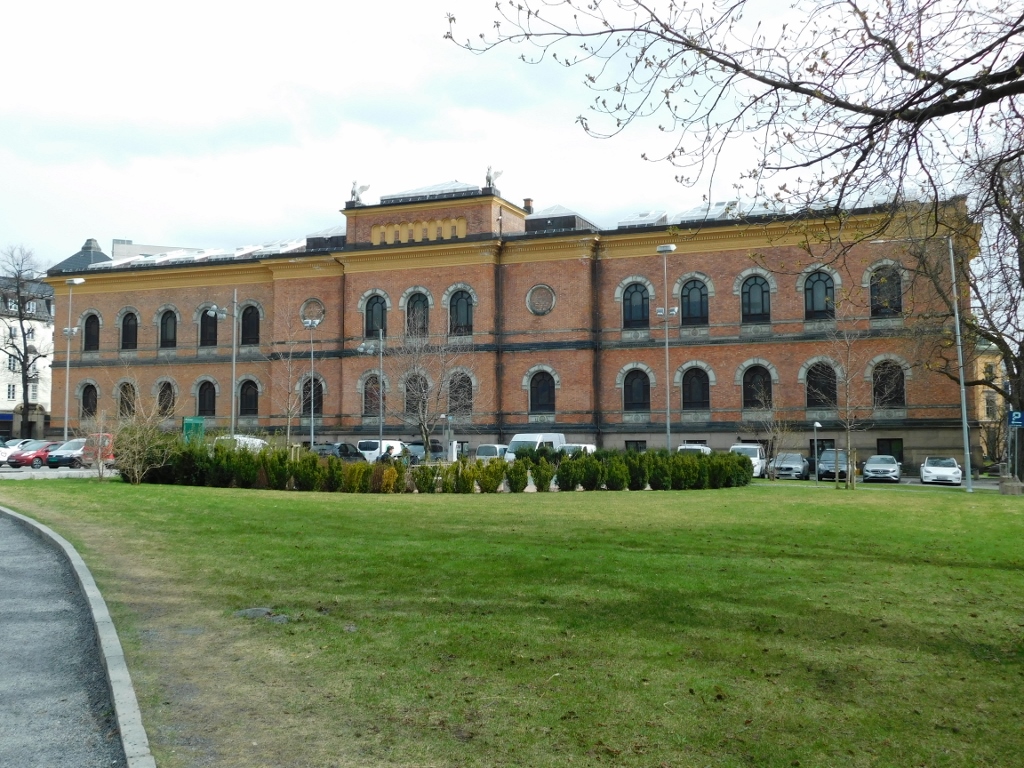 Old National Gallery