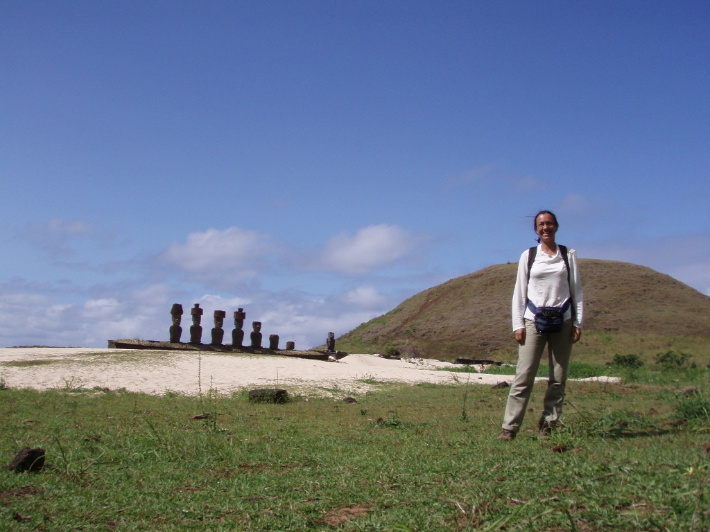
When I got to Ahu Akivi, I decided after all to continue with my hiking and visiting of the island and to go uphill, i.e., to reach the top of a mountain. Namely, the highest peak on Easter Island is Maunga Terevaka, 507 m, which is already at the level of a mountain (technically they start from 500 m on).
There I also started thinking that it may not be bad to do a meditation there as well, but for that I needed some shade. As I was pondering about it, a guy came on a bicycle. We started chatting and then continued together uphill. We really had a very nice talk while we walked there and then we also enjoyed the top of the mountain.
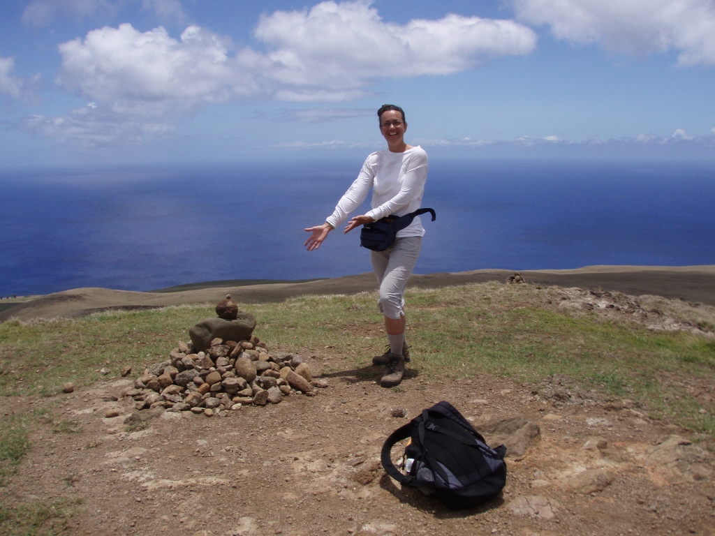 The reached peak of mountain Maunga Terevaka, 507 m
The view was great, although uniformed – a little piece of land and then the ocean, the horizon and the sky. And it was the same in whichever direction you turned and looked.
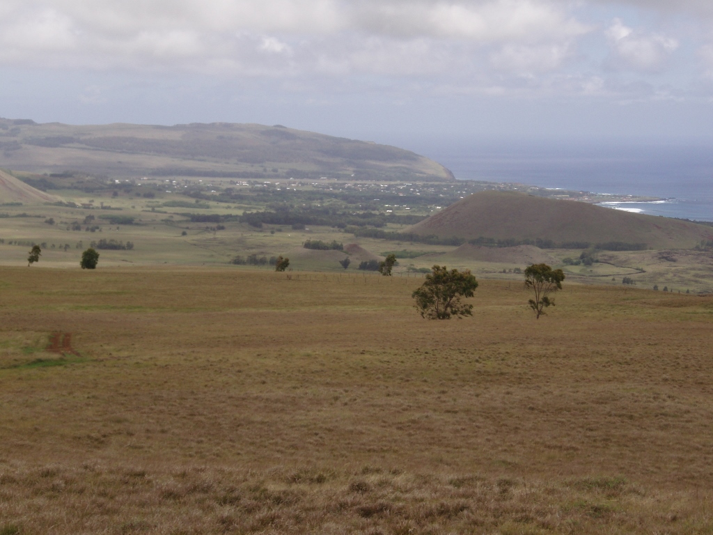 View towards Hanga Roa and Rano Kau volcano from mountain Maunga Terevaka
It was rather windy there on the top, as it was along the entire way, but here in particular. Still, it was also completely clear that the sun was very strong. I had a long-sleeve top, a hat and sun-screen lotion, so there was no danger of getting sunburns, but the need for water was more and more pronounced. I had taken with me 1 litre of some vitamin beverage and 1.5 litres of water. By this point I was at less than 1 litre of water supplies.
And let me say something about the position of the island. It is almost at the very Tropic of Capricorn. Since I was there around mid-December, that meant that at noon the sun was almost directly above my head, so it was very desirable not to stand in one spot for long exposed to strong sunrays. I kept my breaks for shades when and if I came across them.
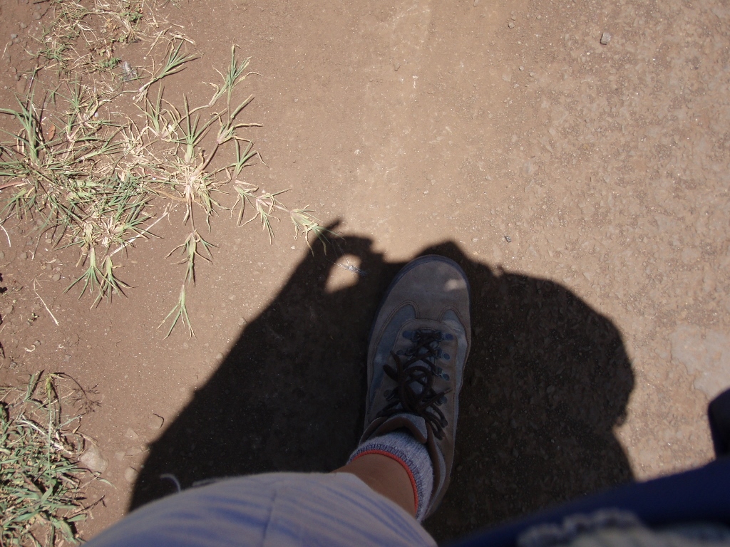 Shadow around noon – almost directly under me
After a short break on the top, Pascal and I started going downhill, previously exchanging mail addresses, and then we parted since he headed on his bike in the opposite direction from me. I soon found “my” eucalyptus tree and sat there to do a meditation, as much as it was possible owing to some ants, the wind that kept blowing my hair that tickled me and a eucalyptus branch the leaves of which occasionally fell over me carried by the wind.
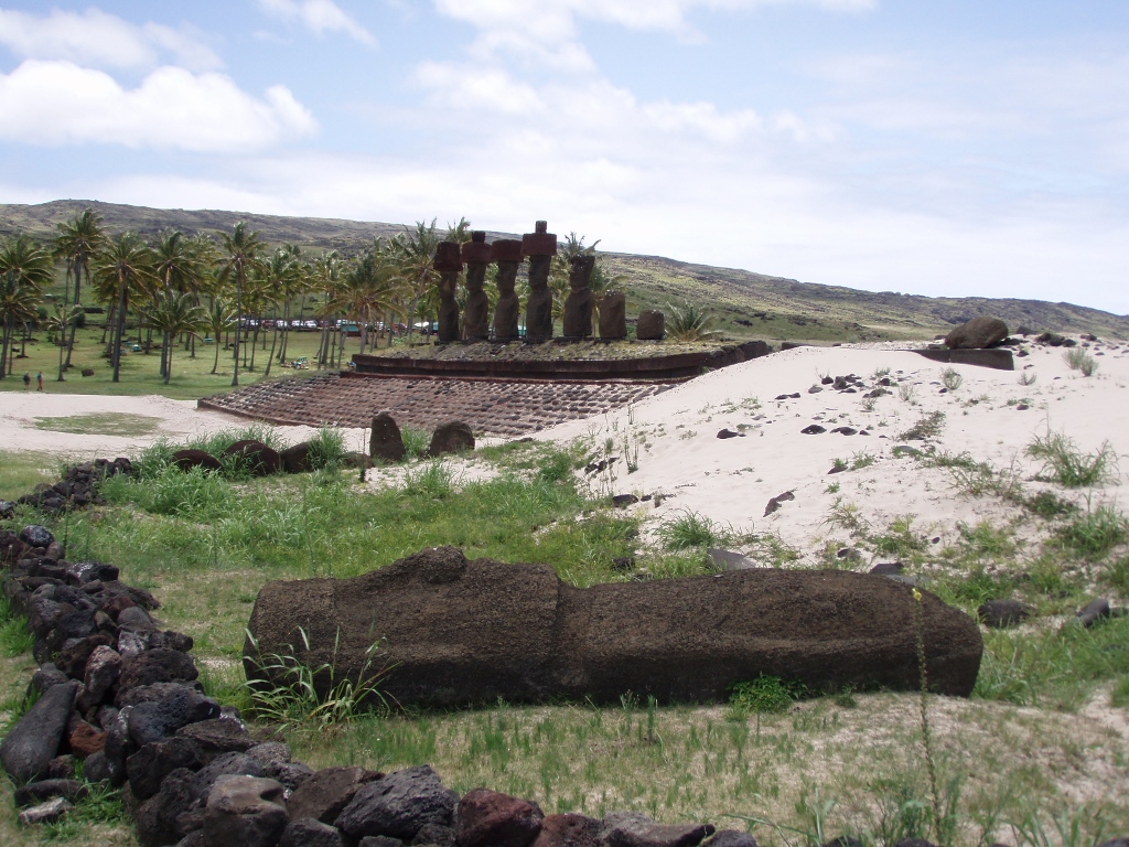
When I finished with the meditation of a sort, I slowly and enjoying the walk went back down to Aku Akivi. The light was “better” there now meaning that the moais were lit from the front.
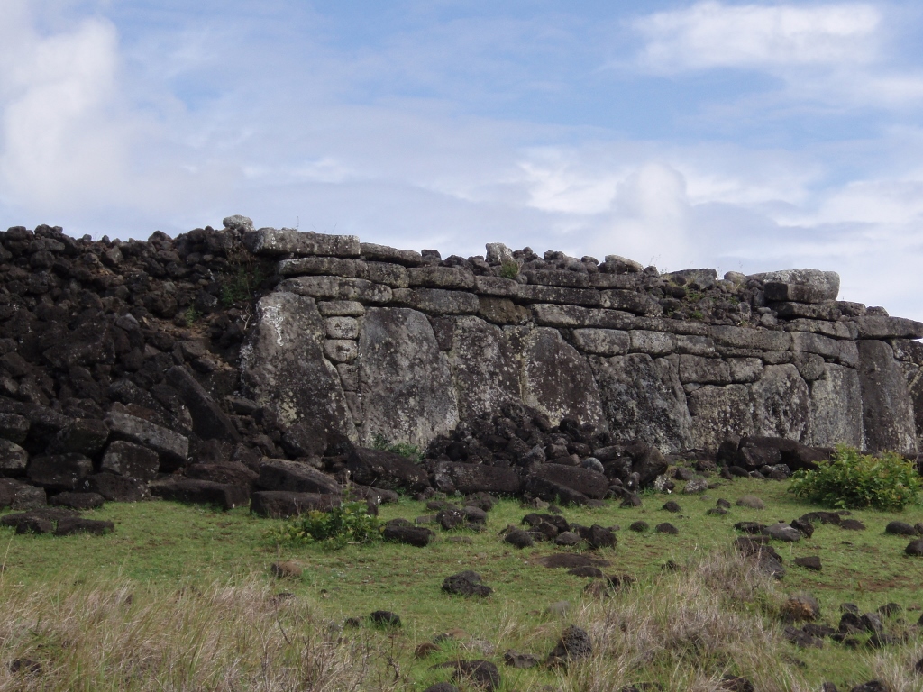
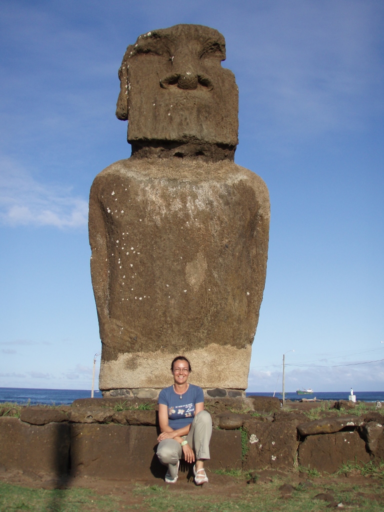
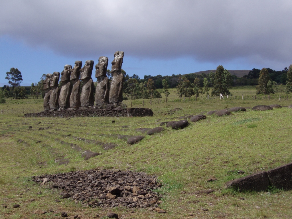 Ahu Akivi
By the way, in addition to the platform on which the moais are places, an ahu often incorporates another slightly broader and lower sloping platform made of smaller stones with larger, round stones arranged on top of them.
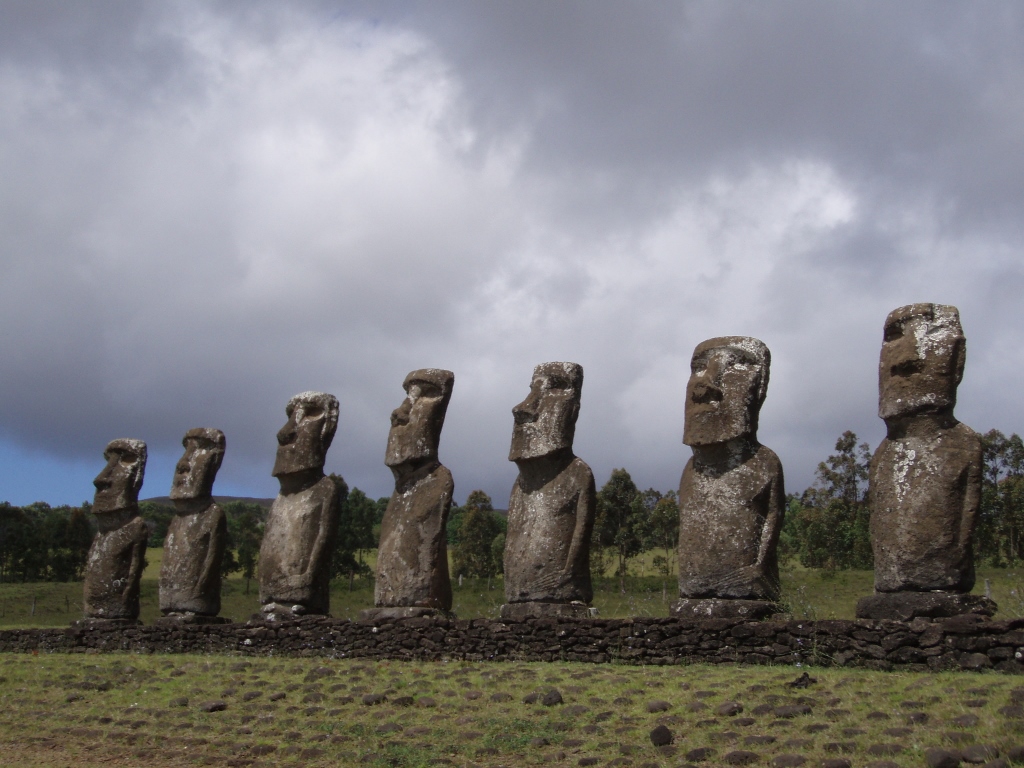 Ahu Akivi
As I was taking some more photos around Ahu Akivi, I decided to go back to Hanga Roa following another way in comparison to the one I used for getting there. It was not a direct road, but the one which in a broad arch links this ahu and Hanga Roa, getting first to the ocean shore at some point and then following the coastline.
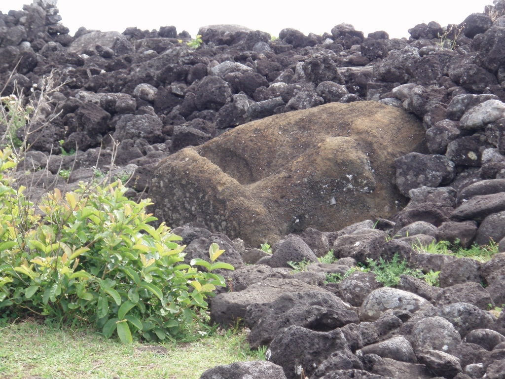
Along the way I paid a short visit to a cave that could easily be reached from the road, but whose entrance was slightly hidden by numerous bananas and trees that were growing there. The cave’s name is Ana Te Pahu and one gets to it following a path that winds through an almost jungle setting. Among the ample vegetation I could see a large stone arch and numerous “rooms” that belong to this cave. This is a cave that was created through the action of different materials that constituted the lava which flowed when the island was originally created. Over time, when everything had already hardened well, less durable materials crumbled and were eventually washed away, leaving a hollow in their wake, i.e., the present-day cave. These are usually called lava tunnels. Be as it may, people even used to live here and nowadays we can see the manavai, the circular walls that encompass a piece of land used for growing something.
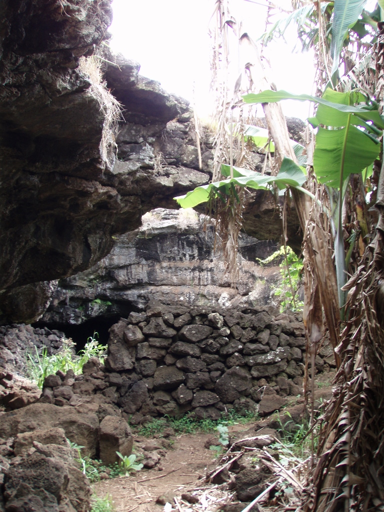 Ana Te Pahu cave
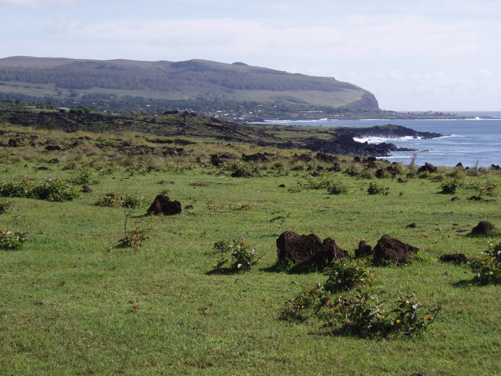
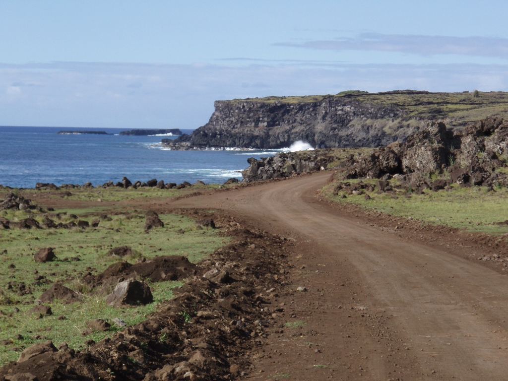
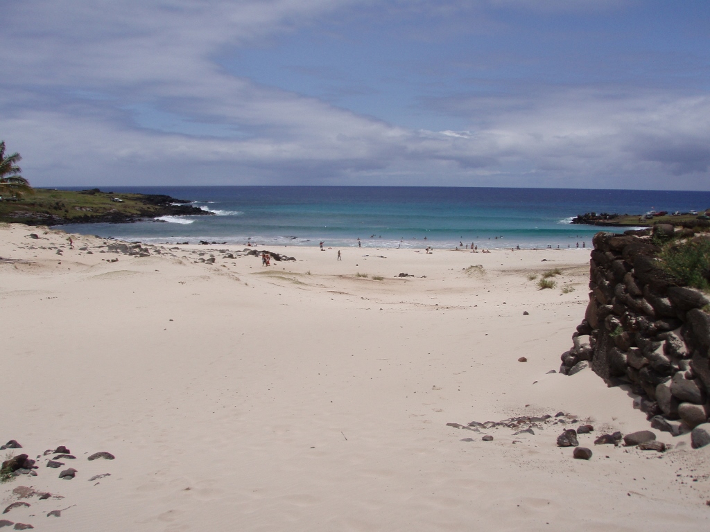
Again I stayed there briefly to take photos and then continued along my way. The road got to the shore and from there led directly to Hanga Roa. Here I started to be extremely tired, as well as dehydrated. It was all a consequence primarily of the strong sun, although some clouds occasionally covered up the sky, but only for a short while, and of the strong wind which was blowing incessantly and did cool me down, but it also contributed to my dehydration. I drank the remaining water one gulp at the time, but even so it was soon gone. I decided to hitchhike the first vehicle that came along, but there was nobody there. And this remained so all the way to Hanga Roa, which seemed so close, but I still had to cover these almost 7 kilometres.
 Hanga Roa, so close and yet so far
 Nobody in sight
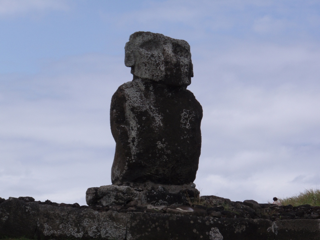
Still, regardless of the tiredness, and I didn’t have much of a choice but to go forward, I enjoyed both the view at the ocean and its waves, and at the ahus I occasionally passed by. One of them, Ahu Tepeu, is known because in its back part there are large upright rocks with smaller stones arranged in between. It makes this ahu, which does not have a single moai on top of it, special in a way. On its front side, however, there is a semi-dug head of a moai that used to stand there.
 Ahu Tepeu, back part of the ahu
 Ahu Tepeu, the semi-dug moai head
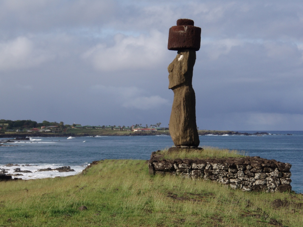
Going further, I felt the tiredness weighing on me, but the fact that I could frequently see Hanga Roa helped me partially and getting closer to my target made the situation in which I found myself slightly more bearable. In front of Hanga Roa itself I saw another ahu with a lone and upright moai, but by then I had no strength to make a stop, have a look and take some photos. Nothing. I just wanted to get to the settlement and water. By the way, this was Ahu Akapu.
When I finally reached Hanga Roa, I first went to a supermarket and bought a 1.5-litre bottle of water which I drank up the second I got out to the street. Literally. Then I went to eat something and there I also had water, significantly less admittedly, had a freshly squeezed juice and had a good portion of a fantastic soup/stew. I thought that with this quantity of liquid in my body I would spend the entire night going to toilet, but what happened was – nothing. My body soaked it all up as if it were made of sponge.
Still, let me just evoke for a while that great meal I had. To start with, I got, as usually, the pebre. Pebre is a name for a combination of chopped tomatoes, onions and garlic, coriander leaves and spices, and it is eaten by putting it on top of a piece of bread on which you have previously spread some butter. A very tasty thing to do while you are waiting for the main course.
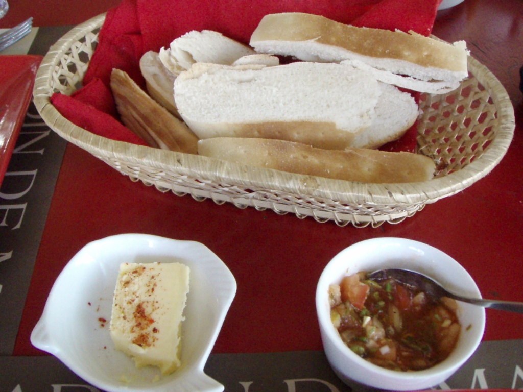 Pebre
Pebre
My main meal on this occasion was caldillo de mariscos, a soup made of vegetables and seafood. The perfect thing after a strenuous day and dehydration.
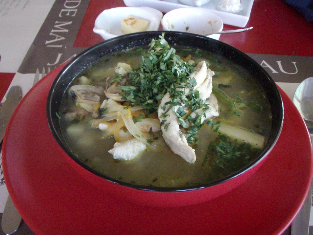 Caldillo de mariscos
This particular meal stayed in my memory also on account of the wonderful music that filled up the space and relaxed me additionally. The music involved the gentle melodies of Norah Jones.
The next day I decided that everything should be easy and with no effort. First I went to Hanga Roa and had a picture of myself by Ahu Tautira. Namely, my brother had asked me to let him know how it felt when you are under the nose of a moai. Since I didn’t want and it is probably now allowed to climb ahus and try to position myself under the nose of a moai, I squatted in front of the platform of Ahu Tautira, while later buying a small replica of a moai as a gift for my brother, so that he can put himself under its nose.
 By Ahu Tautira
Then I went again to the other end of Hanga Roa and revisited the moais that are located there within the Ahu Tahai complex. I didn’t mind at all that I had already been there and seen them. They are fascinating and beautiful each time.
 Ahu Tahai complex, Ahu Ko Te Riku
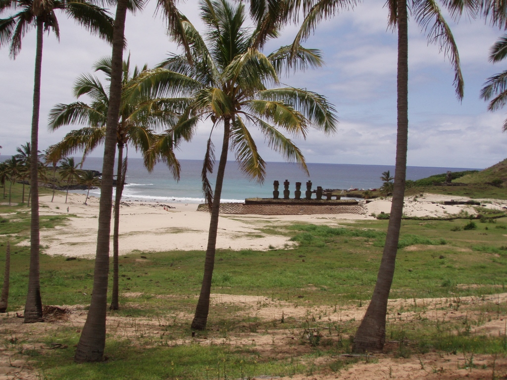
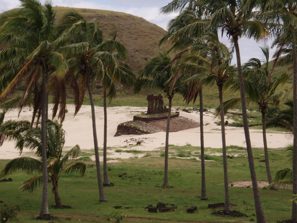
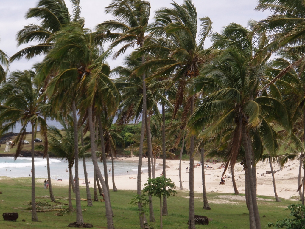
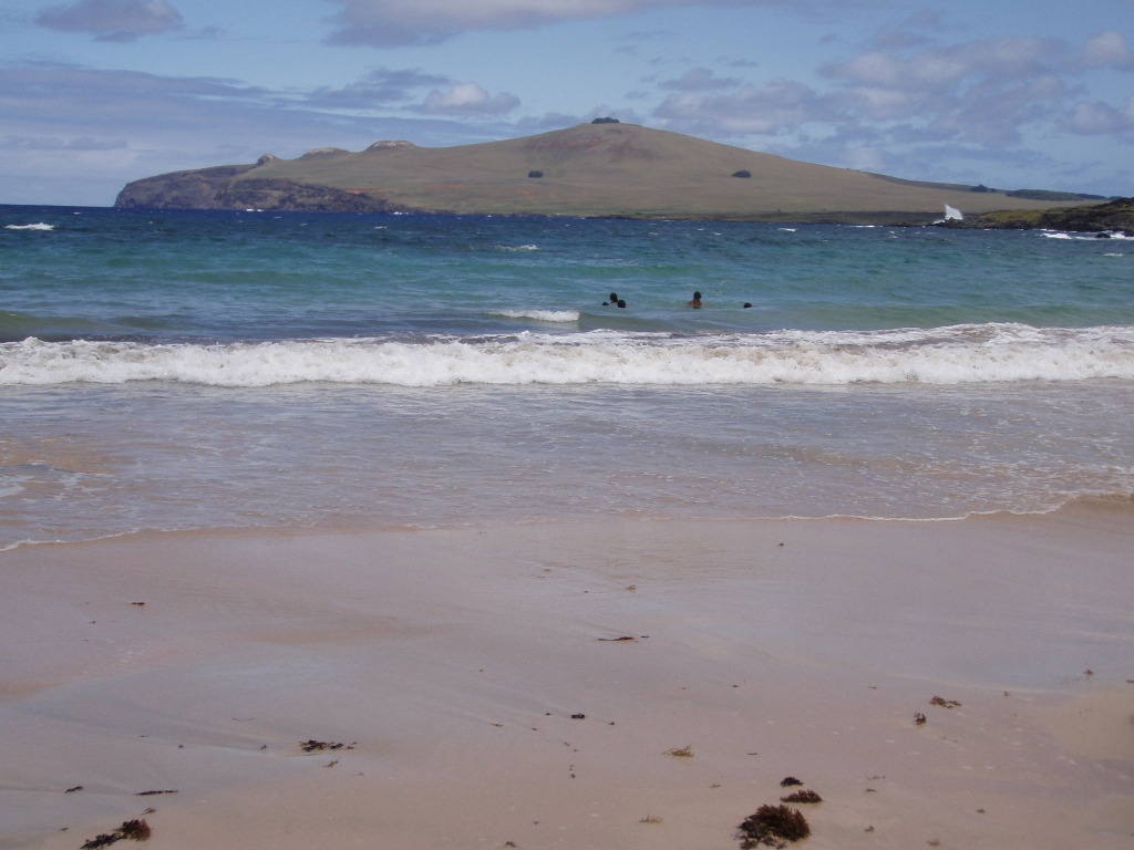
And then, by hitchhiking, in a few legs, I covered the road to Anakena. Anakena is a proper beach – white sand, palm trees and fantastic water to swim in. It is not the only beach on the island, there are 2-3 of them, but it is the biggest one. And very beautiful. The legend says that Hotu Matu’a disembarked on Rapa Nui precisely here, on Anakena. I had already had an intention to visit the beach during previous days, but I kept changing my plans for one reason or another, and then on this day I finally managed to get to it. It was cloudy and there were not many people around, but I didn’t care. There is a large ahu on this beach as well, with beautiful and different upright moais that are placed on it. This is Ahu Nau Nau with seven moais.
 Anakena beach and Ahu Nau Nau
First I circled around the beach walking among the palm trees and then I got to the beach itself and went to the ahu.
 Anakena beach and Ahu Nau Nau
 Anakena beach
 Anakena beach and Ahu Nau Nau
 Anakena beach
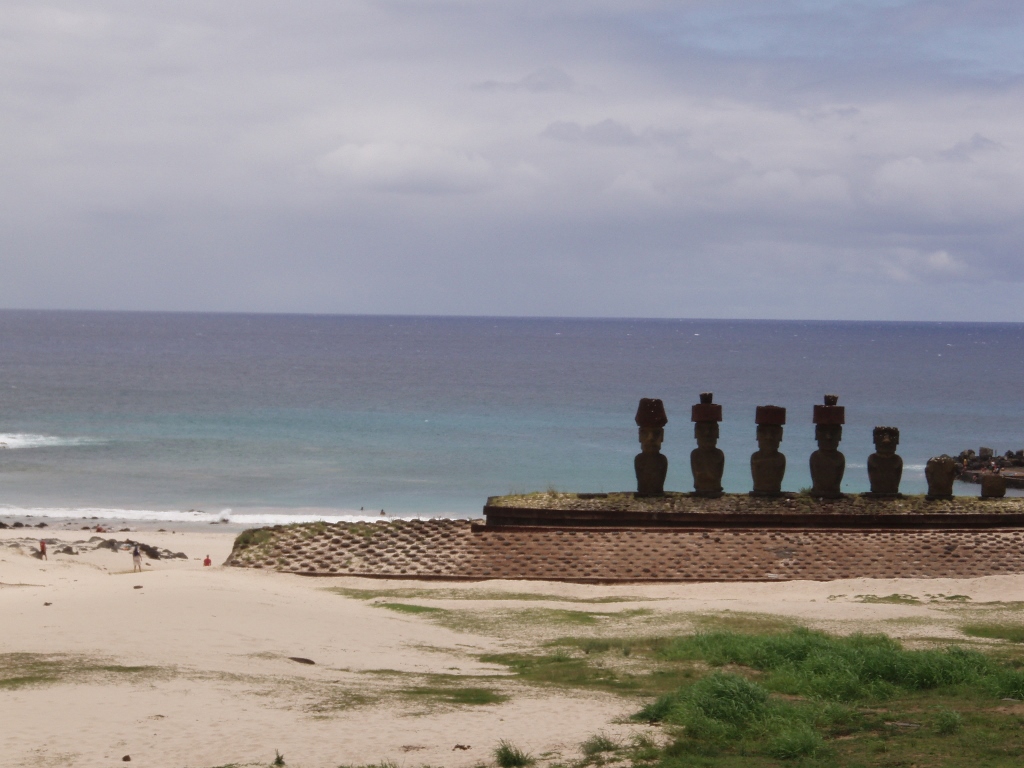
Ahu Nau Nau was restored in 1979 and then, during the excavations, it was established that the moai didn’t use to be blind, but rather had their eyes made of corals and rocks. On this ahu, four moais have pukaos, i.e., the red hats, while in the case of two moais there are only remains of their torsos.
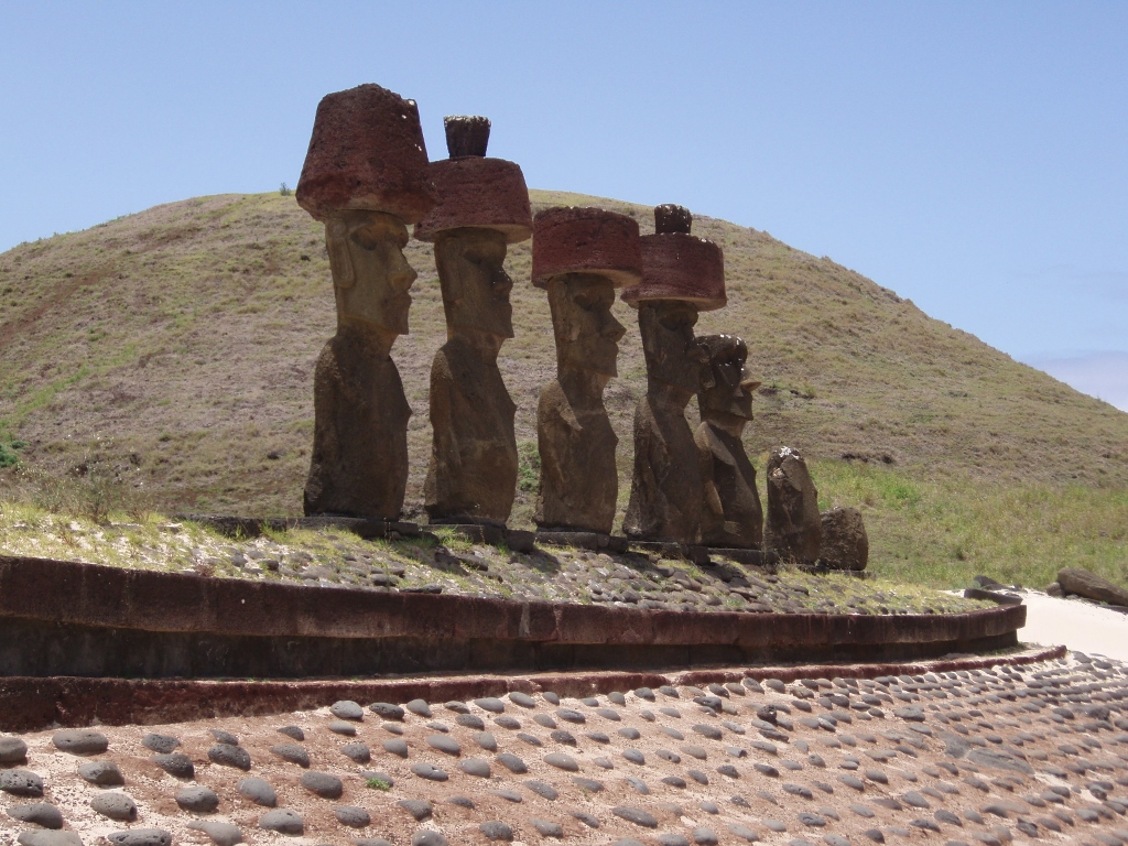 Ahu Nau Nau
In addition to the moais placed on Ahu Nau Nau, there are also more of them lying around.
 Ahu Nau Nau and the surroundings of the Anakena beach
On the right-hand side of the beach, on a mild elevation and a grassy and stone base, there is a lonely moai standing which does not resemble any other. That is Ahu Akure Tuki. It is important because this moai was erected, with the assistance of the local population, by members of the expedition led by Thor Heyerdahl which in 1947 came on the Kon-Tiki raft from the South American continent to Easter Island by which they have proven it was possible to make this maritime connection.
 Ahu Akure Tuki
I passed by this ahu and climbing around the promontory and further along the shore following a narrow dirt trail I headed for the Ovahe beach.
 On my way to the Ovahe beach; in the distance there is Poike peninsula
The Ovahe beach is rather tucked away and it is smaller than Anakena, but what makes it special is the colour of its sand which is light pink! That colour comes from a mixture of white corals and red volcanic rocks that surround the beach.
 Ovahe beach; in the distance there is Poike peninsula
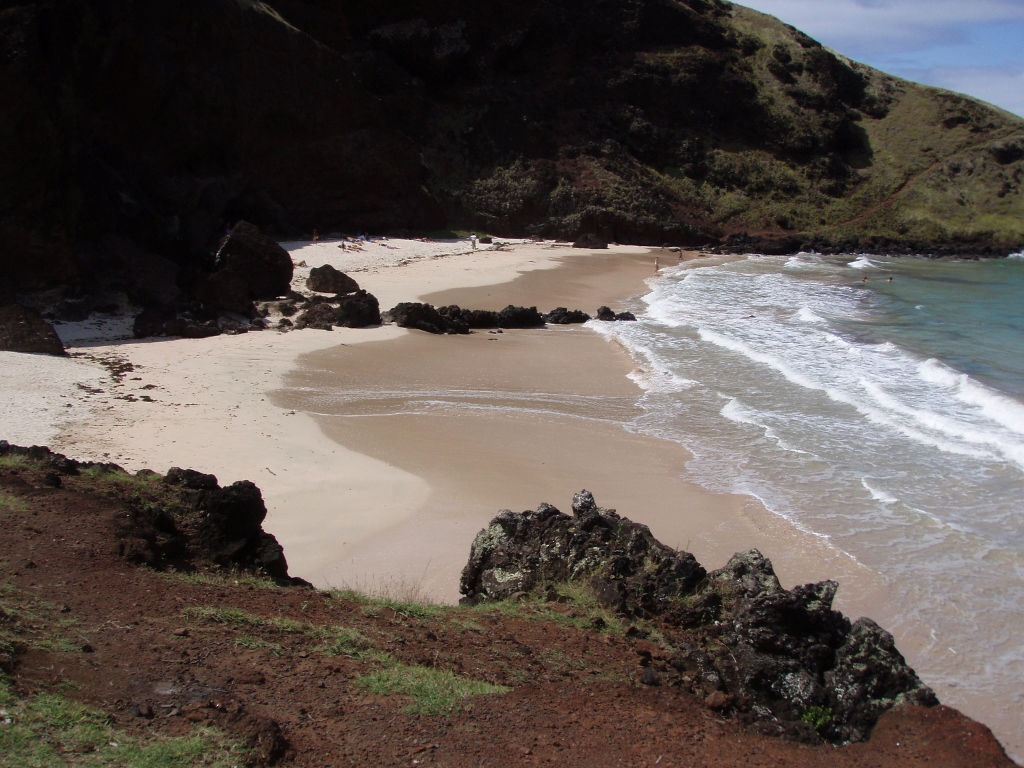 Ovahe beach
And so, just as I wanted, I leisurely finished my sightseeing for the day. By getting around the elevation which in a way fences off the Ovahe beach, I returned to Anakena, took some more photos and then I hitchhiked again in order to go back to Hanga Roa. Because, I already had a very special plan for the next day.
 A selfie before the selfies: on the Anakena beach