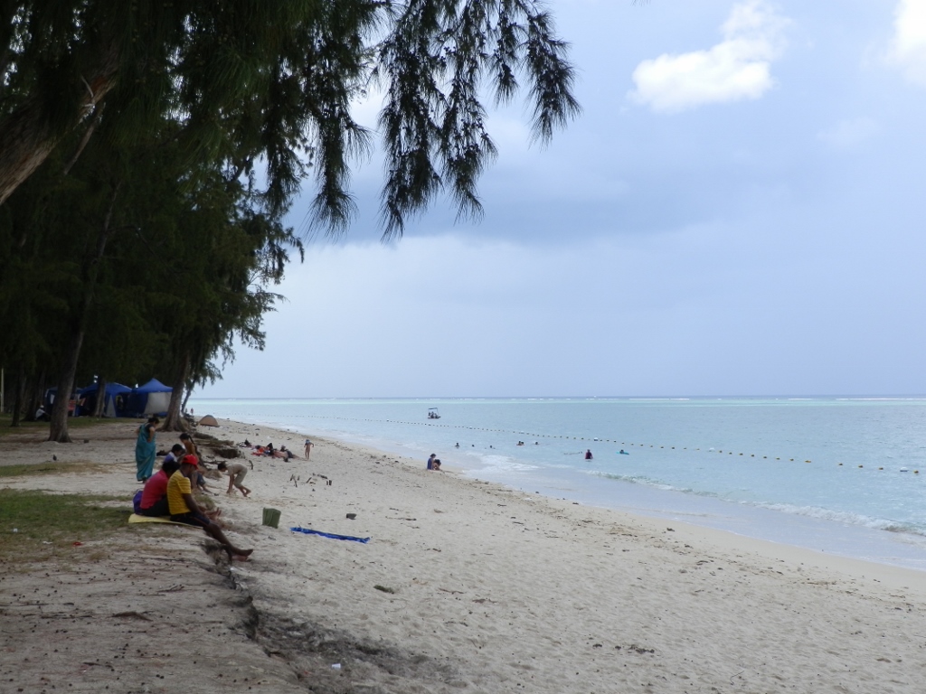
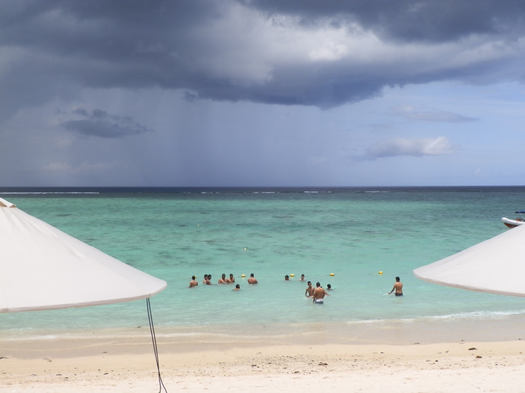
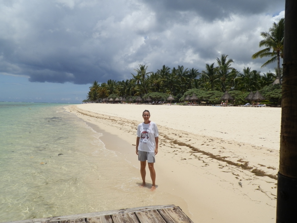
The next morning I got up early in the morning again and already around 6 am I was on the beach where I walked regularly. The weather had started to improve significantly from the previous day. There were clouds in the sky, but it was essentially dry and wonderfully sunny, and all of that could be seen even that early in the day.
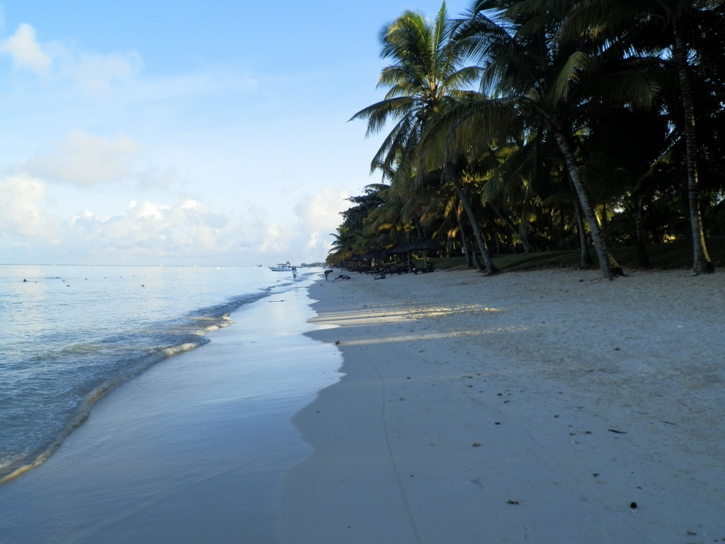 Trou-aux-Biches beach in the early morning
At some point I met Barack again who worked at a big hotel beside the beach, so we chatted a little. Once during our occasional morning chats I asked him which month in his opinion, being a man who was born and lived on the island, was the most beautiful on Mauritius. He told me that for him the island was at its best in April. Frankly speaking, I don’t know what his criteria were, perhaps because there are not too many tourists at that time, but it seems to me I won’t be able to check that.
In any case, this morning, too, I walked on the beach for about an hour and once again it was a fabulous experience.
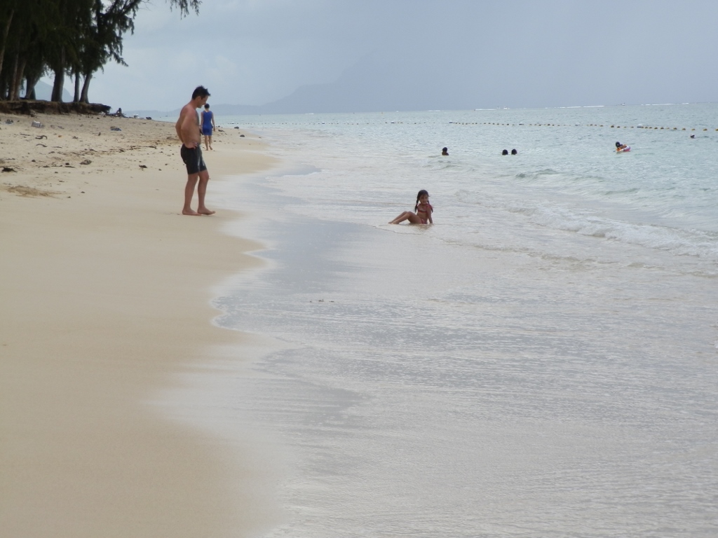
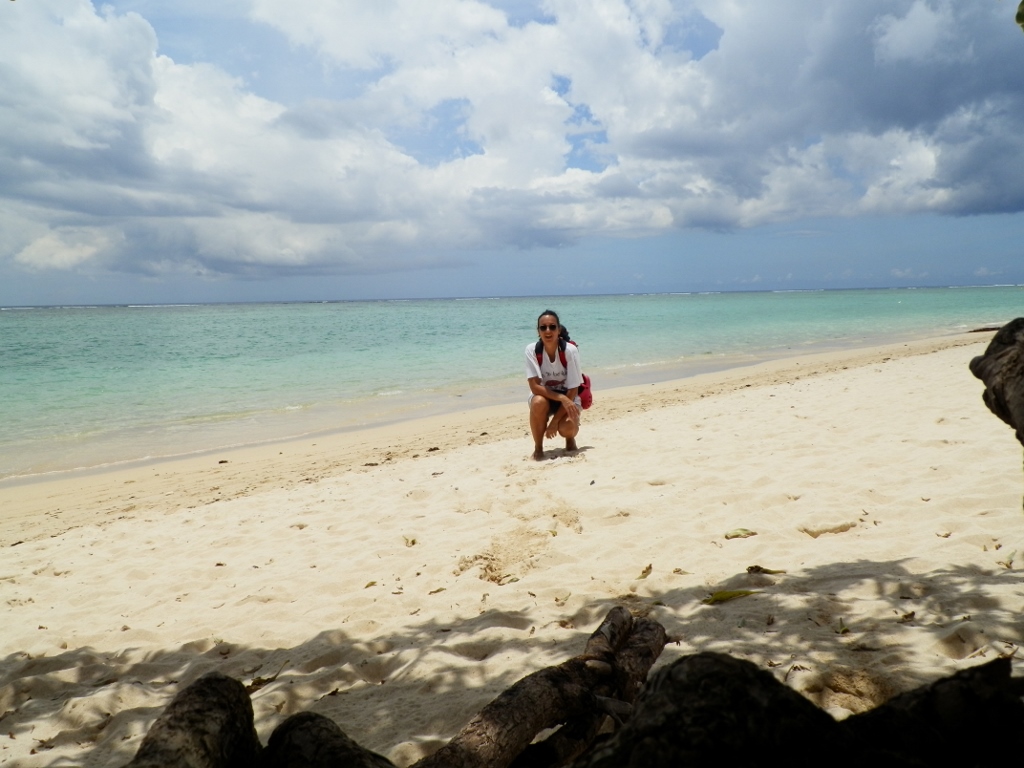
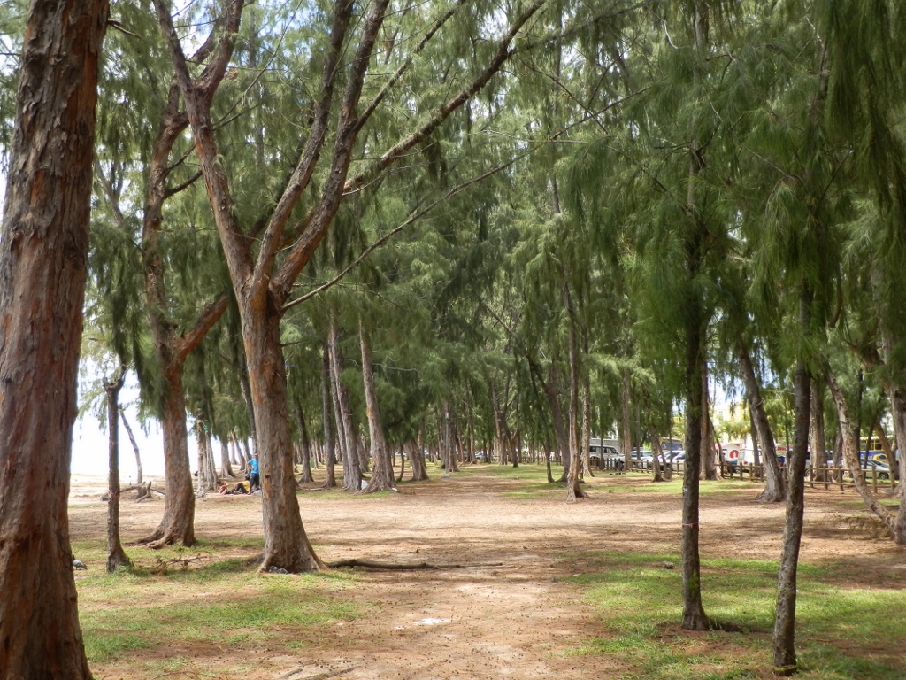
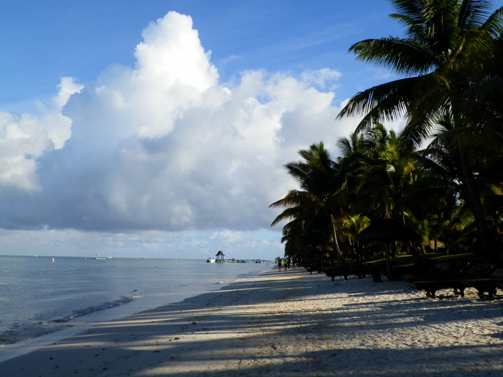 Coming back from one end of the Trou-aux-Biches beach
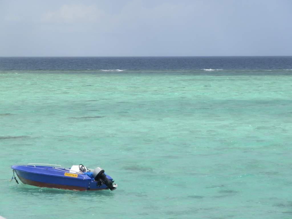
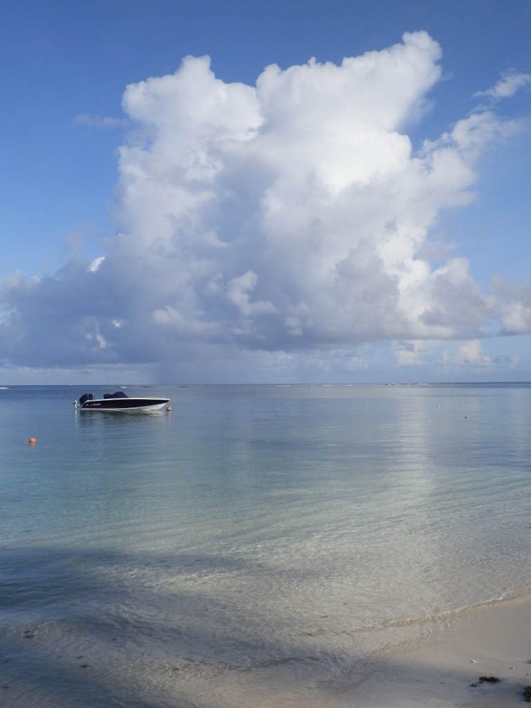 Water on the Trou-aux-Biches beach on an early, serene morning
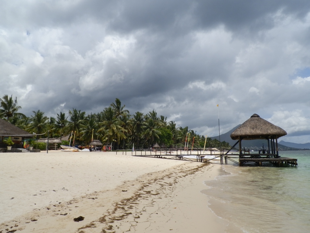
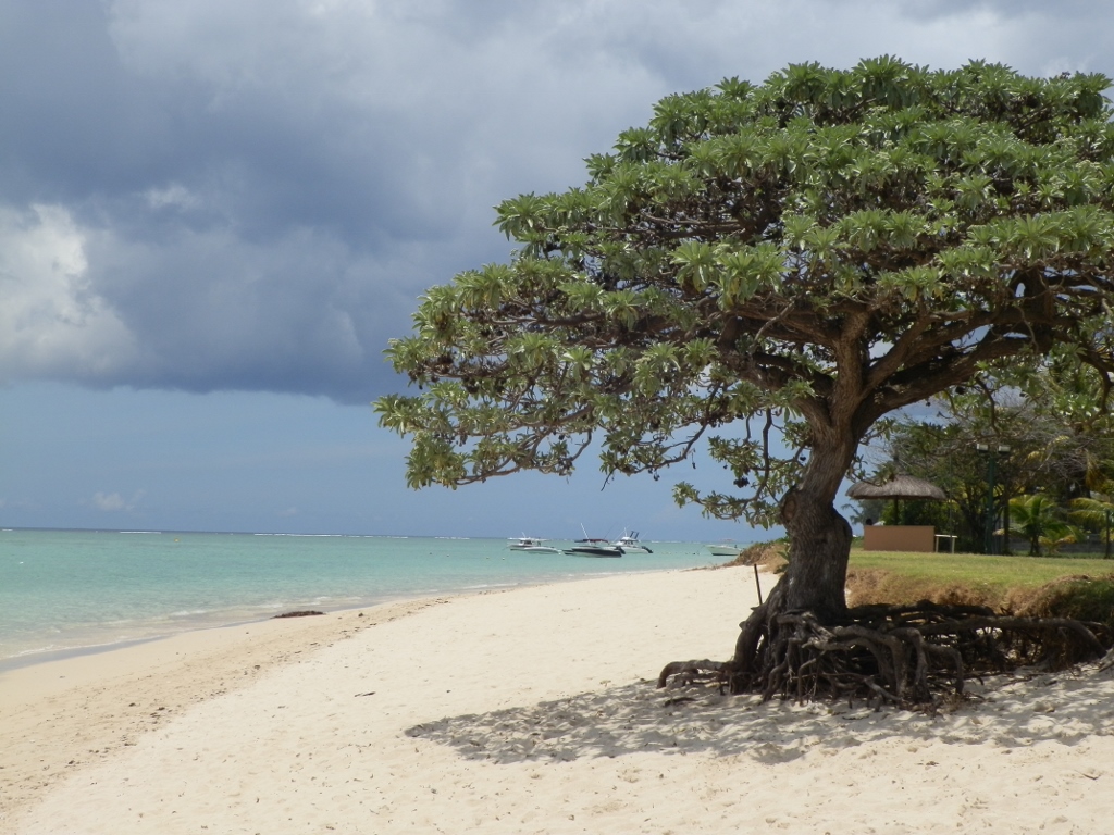
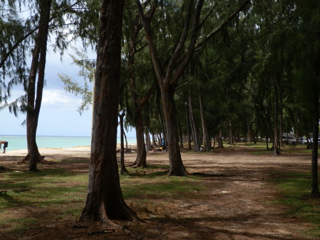
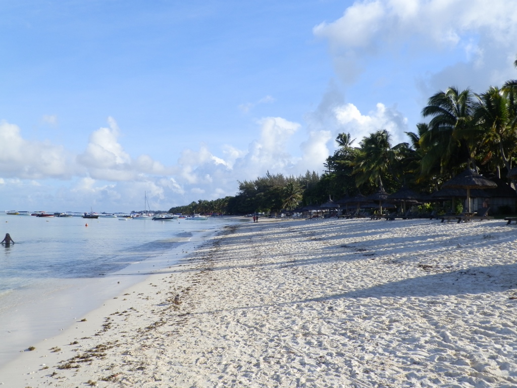 Now I got to the other end of the Trou-aux-Biches beach
Despite this great weather in the surroundings of our hotel, thinking primarily of the beach here, Sneža and I decided to go on this day to a beach which is said to be one of the most beautiful on Mauritius. This is the Flic-en-Flac beach on the west coast, some 30 km south of the capital. In order to do that, we had to change buses in Port Louis again and it took us a total of around two hours to get to town Flic-en-Flac which renders its name to the beach.
 We got to the Flic-en-Flac beach
Sneža and I concluded that we had become a little strange even to ourselves and that in the meantime we had developed some strange “local patriotism” and thus our beach was the most beautiful to us. The sea was the same sea (or, rather, the ocean in this case), there was white sand on both beaches, and this beach here was not bad at all, but... Somehow, these beaches without palm trees simply did not meet the criteria for a “tropical beach,” although this certainly could not be a beach in any other part of the world except for the tropics.
Or perhaps this was so only because it was cloudy and gloomy. In the photo below it is possible to see how the clouds are hiding a smallish mountain that is located a little bit more to the south. This is Le Morne mountain, 556 m high, and in some of the photos further on it will be seen much better.
 Flic-en-Flac beach on a cloudy day
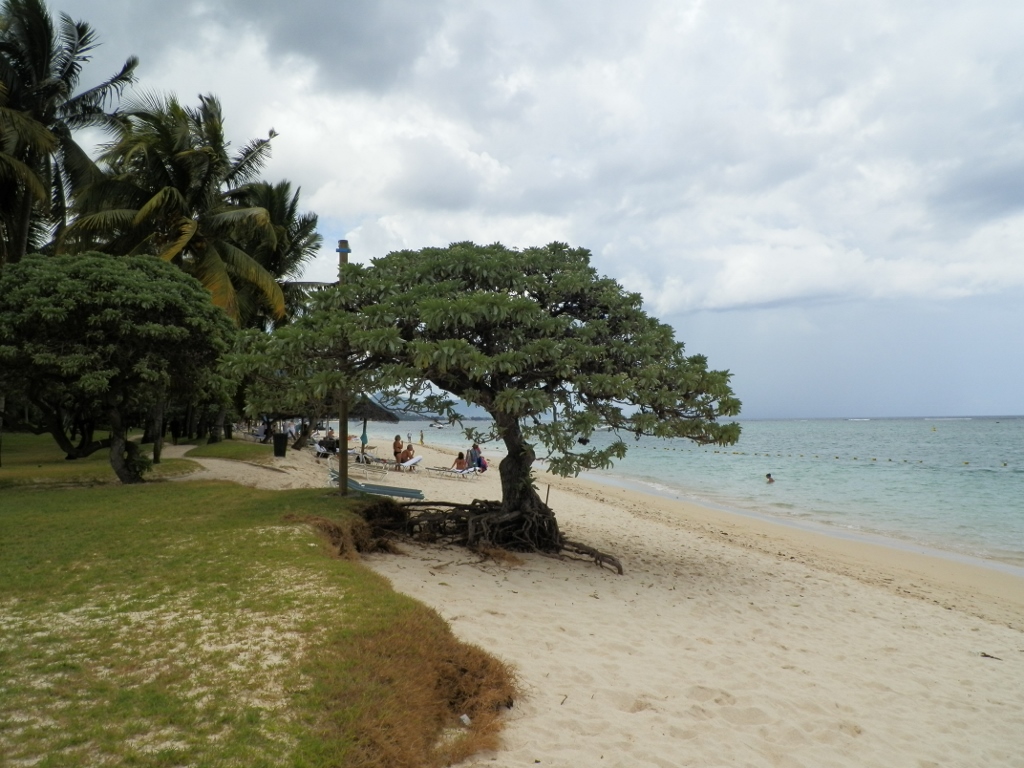
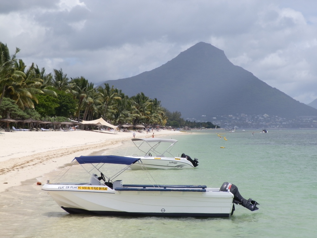
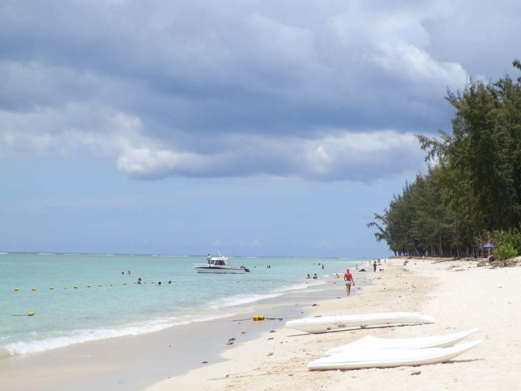
We started to walk along this beach that has the overall length of around 6 km and perhaps it was not entirely up to my taste and was not among the prettiest on the island in my mind, but it is certainly objectively among the longest. We did not cover it all on foot, but rather at some point we sat on the terrace of a bar by the ocean and had coffees there. Although it was very warm, I did not have any desire to go for a swim, but Sneža could not resist and went in. Meanwhile I watched the ocean from the terrace admiring the contrasts and colours that greatly depended on the situation in the sky.
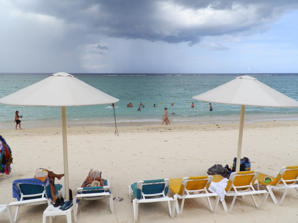 Flic-en-Flac beach when there are clouds directly above the beach
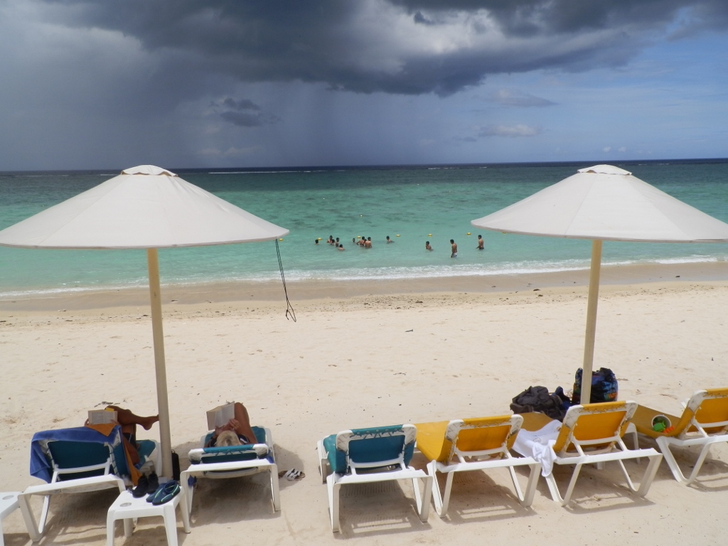 Flic-en-Flac beach when the Sun is directly above the beach, while dark clouds and rain are in the distance
 Detail of the same situation
 Detail of the same situation
Afterwards Sneža got back from the water and then while she continued enjoying the sipping of coffee, I went for a walk further along the beach.
 Flic-en-Flac beach
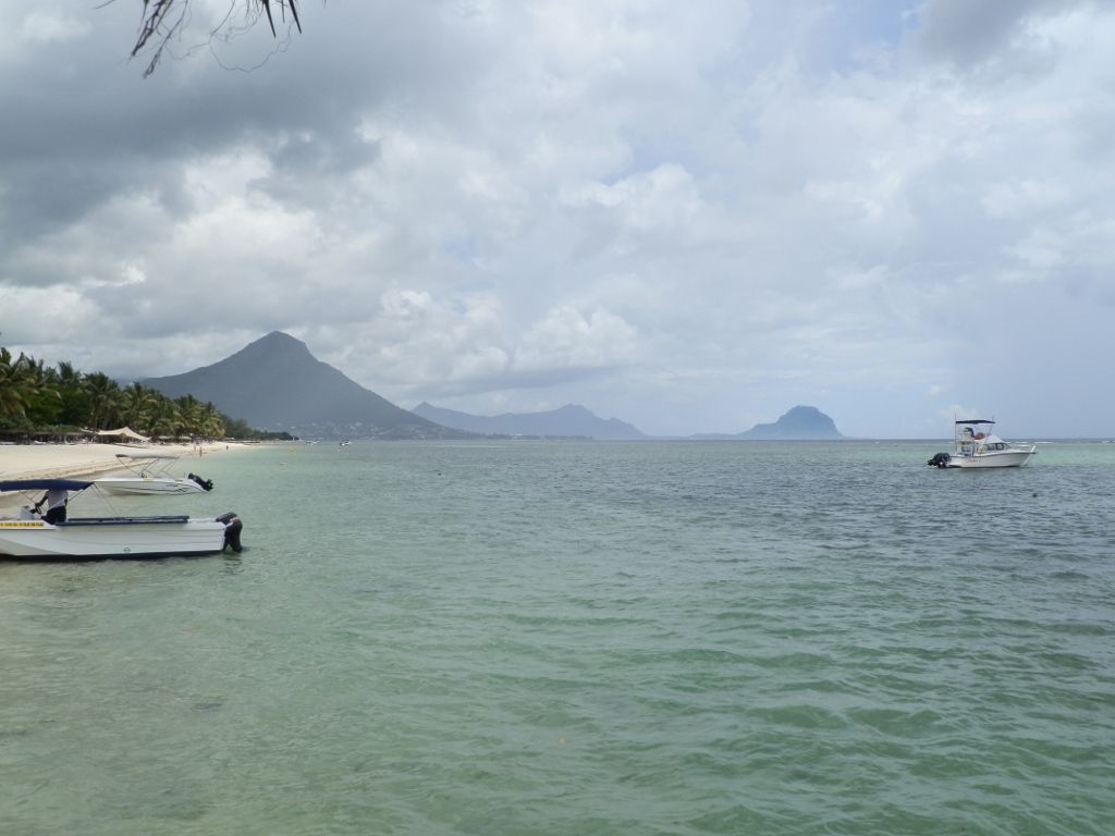
When I started walking along this beach, in the distance I could see better and more clearly Tamarin mountain which is 563 m high.
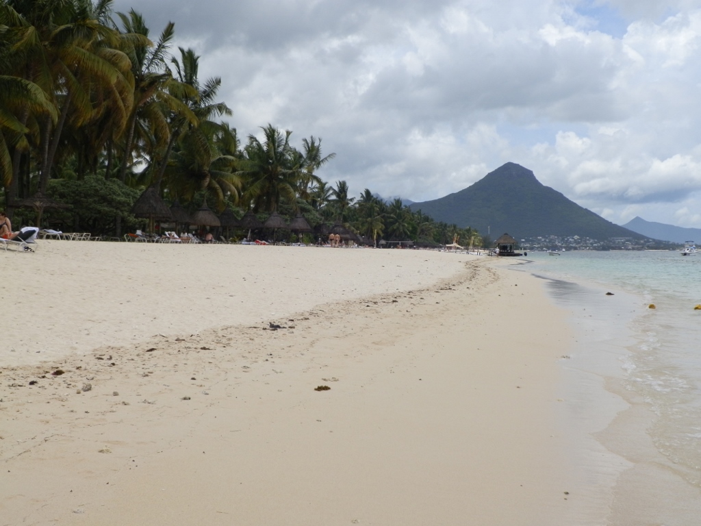 Flic-en-Flac beach and Tamarin mountain
It was still cloudy, but there were also few blue patches in the sky. What was problematic was that, despite the large quantity of clouds, the heat of the sunrays burned nonetheless and almost deprived one of strength. So, I was quite delighted when I saw a wooden pier and a canopied section on it which seemed like a terrace.
 Flic-en-Flac beach
From the pleasant shade created by the dry reed roof I could watch the surroundings at leisure.
 Flic-en-Flac beach and Tamarin mountain
In addition to Tamarin mountain, I could also see Le Morne mountain on the horizon.
 Tamarin mountain with Le Morne mountain all the way to the right
Le Morne mountain is, as I've said, 556 metres high and it is situated on the very southwest tip of Mauritius. The mountain has been inscribed on the UNESCO’s World Heritage List as a cultural landscape. The reason for this primarily lies in the fact that during the entire 18th century and the beginning of the 19th century it used to be the shelter of escaped slaves. The slaves could hide here because at the time this part of the island was quite a hinterland and they were practically protected by the mountain’s cliffs that were very isolated, covered in dense forest and almost inaccessible. A relatively large number of runaway slaves even founded small settlements in caves and on the top of the mountain. Because of all of this, the oral tradition has made Le Morne mountain a symbol of suffering and sacrifice of slaves, and in particular a symbol of the slaves’ fight for freedom.
I took a photo of Le Morne mountain a little later as well, using zoom, but since I’m talking about the mountain, here is the photo.
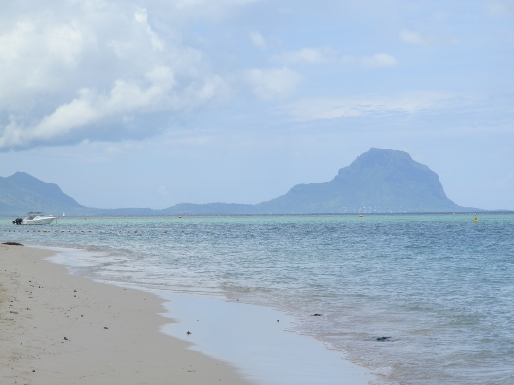 Le Morne mountain
While I was standing on the canopied pier, I took advantage of the shade and the fact that I had where to place my photo-camera in order to take a photo of myself.
 On the Flic-en-Flac beach – it’s around noon; note the shadow
Behind my back in the photo above, it seemed there were no clouds somewhere in the distance, in the north of the island, and it was precisely there that “our” beach was located. Well, it was still nice that we saw something new on Mauritius.
After this short break at the wooden pier on the Flic-en-Flac beach, I headed back towards the bar in which Sneža waited for me. I did take a few more photos along the way.
 Flic-en-Flac beach
 On the Flic-en-Flac beach
When I met with Sneža again, we started off with intention to use this day also to visit Port Louis, the capital of Mauritius, since we had to change buses there anyway.
 Flic-en-Flac beach
It was around 12.30 pm and I was just far too hot, so I retired into the shade created by the trees on the beach, while Sneža bravely continued walking along the beach and collecting shells.
 Grove beside the Flic-en-Flac beach
Although I prefer palm trees beside a beach, this grove certainly had its beauty.
 Grove beside the Flic-en-Flac beach
Still, before we left Flic-en-Flac, we stopped by some “fast food” stands that exist near the beach. This time we opted for tasty and light fried vegetable noodles that seemed more like Chinese food, but they were certainly very good. In the spacious grove at the main access to the Trou-aux-Biches beach where the first day I saw tents, there were also many stands with kitchenettes where every day it was possible to buy freshly prepared and generally delicious food. The prices were very good and for us this was a simple way to solve the question of lunch. We had a half-board at the hotel, but it was good to eat something normal during the day.
Along with the “fast food,” almost all of these stands also offered freshly squeezed fruit juices.
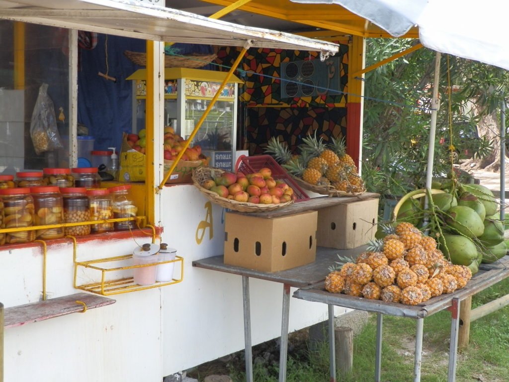 Fresh fruits on offer
While we were walking towards the bus stop, we realised that close to the beach there was a cemetery as well. Since almost a half of the inhabitants of Mauritius are Hindus, we presumed that they cremated their dead, but the rest of the population certainly had the custom of interring them.
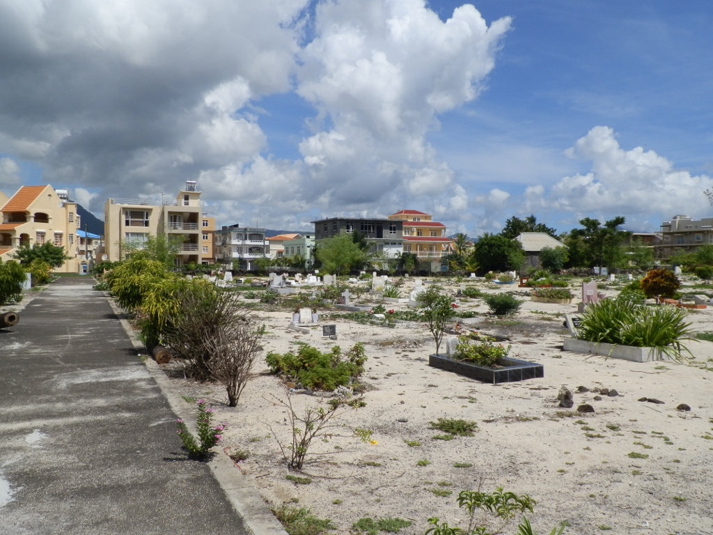 Cemetery in Flic-en-Flac
Soon we got onto a bus and headed for Port Louis. As we were going back to the north of the island, I enjoyed the wonderful landscapes in the interior of Mauritius. The road led us beside large sugarcane plantations, as well as near high hills and mountains.
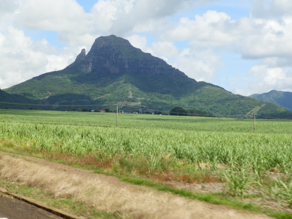 Landscapes on our way to Port Louis
When I say high hills and mountains, this should be taken in relative terms. Mauritius is not a very big island and generally speaking it has flat sections near the coast, while in the centre there is a type of a plateau with the maximum height of around 670 m which is certainly high in comparison to the level of the ocean. The highest peak of Mauritius is, however, located in the southwest, its name is Piton de la Petite Rivière Noire and it is 828 metres high.
While the bus was passing through a settlement, in addition to the green hills in its surroundings we could also see yet another cemetery.
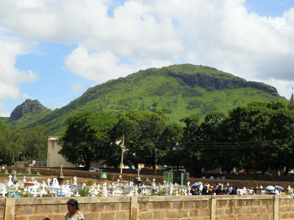 On the way to Port Louis
We arrived in Port Louis around 3 pm. However, since the bus was crowded, Sneža and I did not sit together and so it happened that we got out at different stops. This was completely unexpected. The problem was that we did not have a very strict and clear plan what we would do in Port Louis nor when exactly we would go back to Trou-aux-Biches. We had certainly mentioned a ghat that we wanted to visit, but that was all. From the place where I got off the bus, realising Sneža was not with me, I headed in the general direction of the ghat thinking that I would somehow bump into her. Taking into consideration that Port Louis has around 150,000 residents, my idea was not overly realistic, but there was nothing else for me to do.
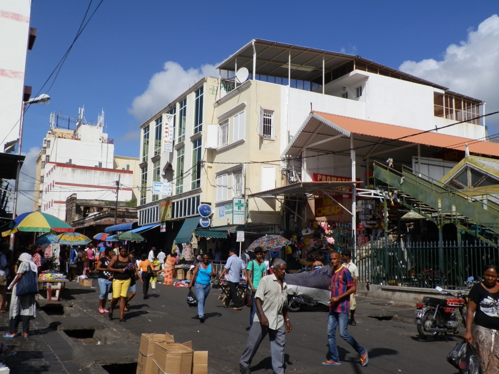 Port Louis
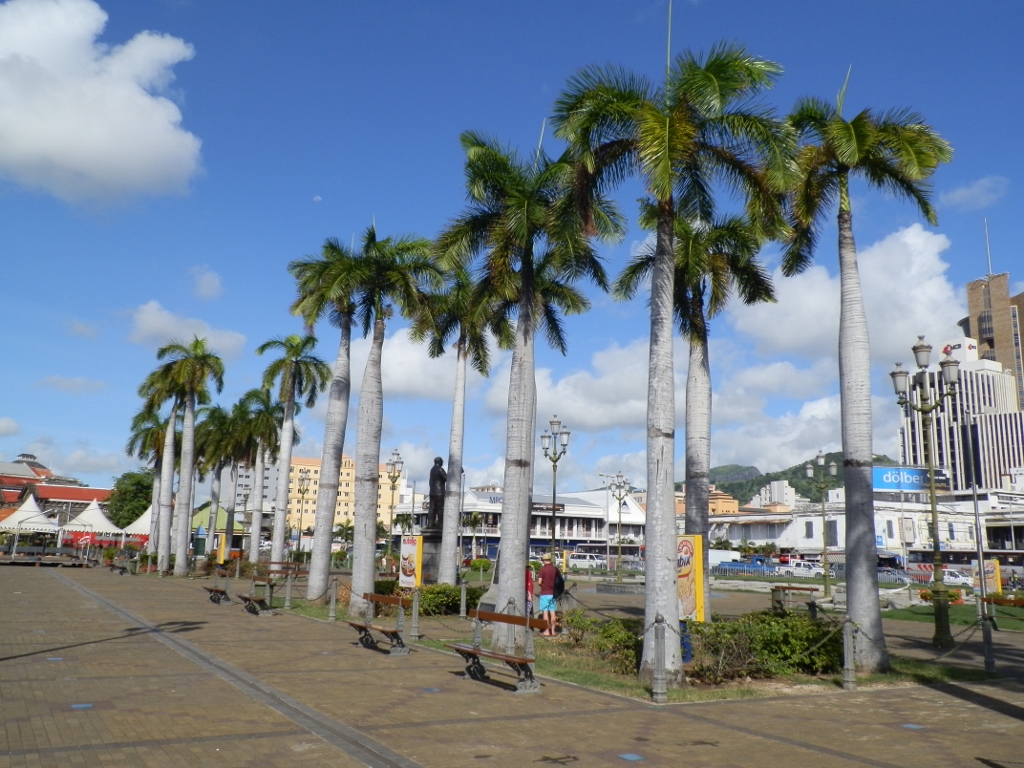
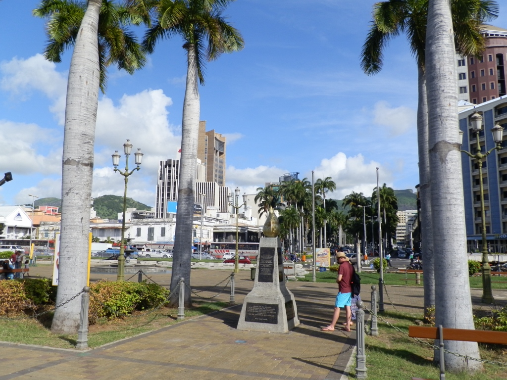
I must admit that I zigzagged, for I simply thought there was no point in going directly to any particular place and along the route I took a few photos. Thus I came to an elongated square Place d’Armes along which there are streets, while in-between there are lawns with palm trees.
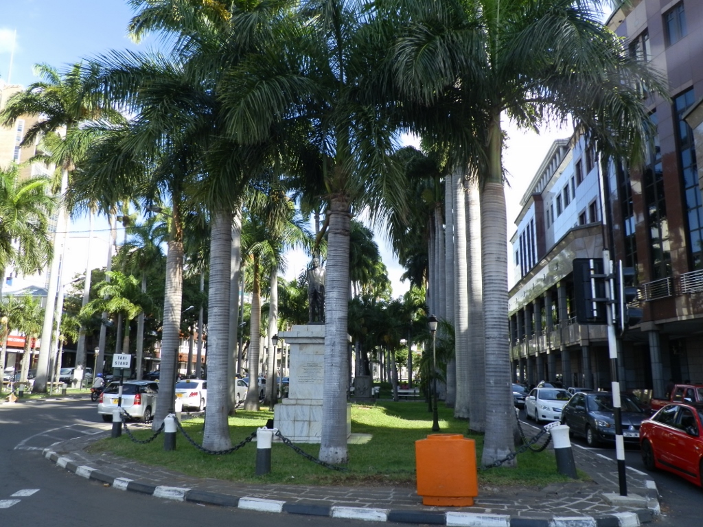 Place d’Armes
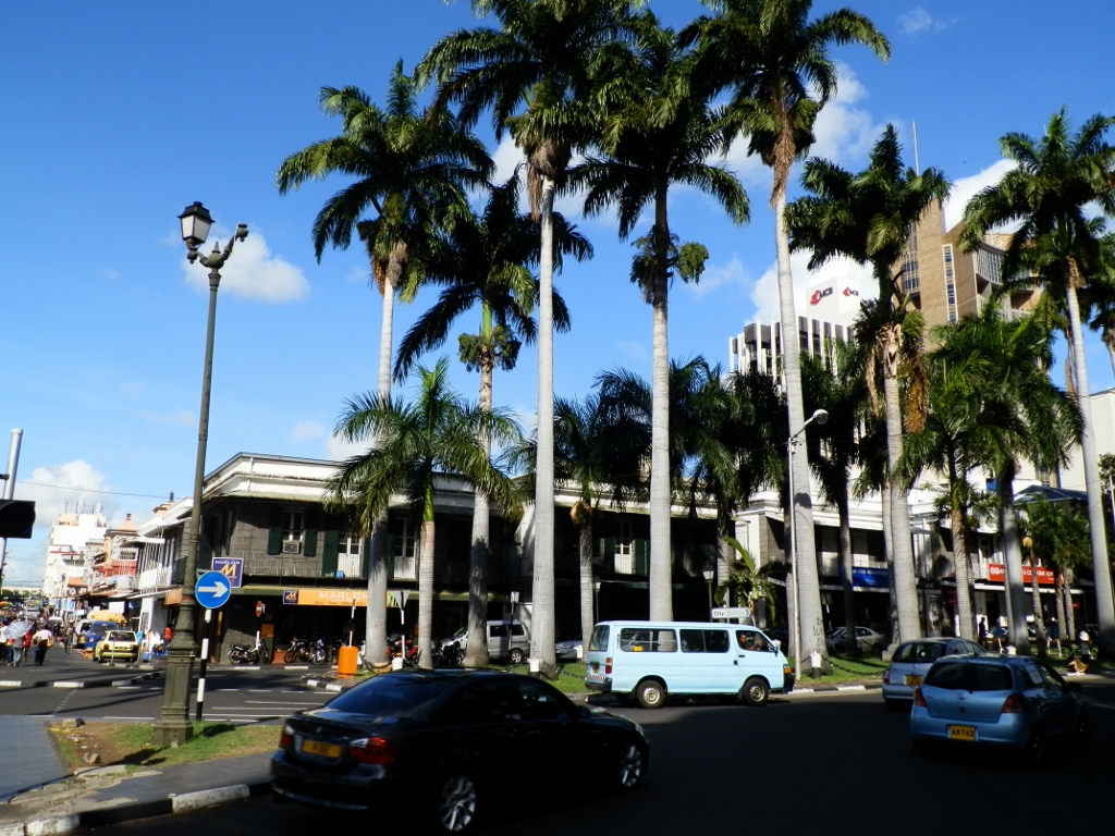 Place d’Armes
Then I also got to a place called Port Louis Waterfront. It is a wide plateau that exits to a part of the deep bay in which the port of Port Louis is located, but in this particular section there are numerous restaurants, bars, shops and shopping malls.
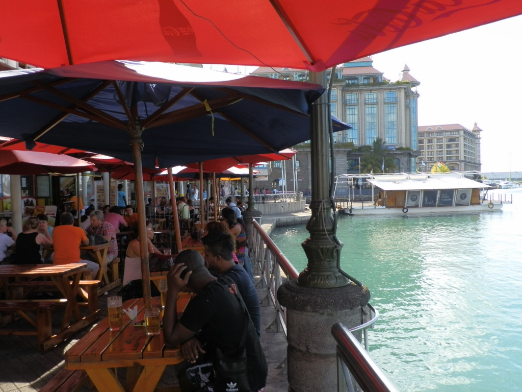 Port Louis Waterfront
 Port Louis Waterfront
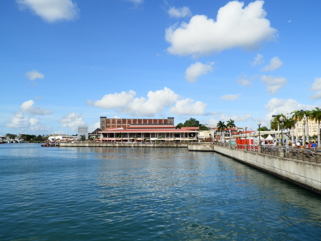
 Plateau within Port Louis Waterfront
I looked at all of this quite superficially, making a few photos, and then I continued with my search for a lost friend. Or perhaps I was the one who was lost. Be as it may, from the plateau of Port Louis Waterfront I looked again in the direction of Place d’Armes and then I went further towards the Aapravasi Ghat that is some 500 metres away from here.
 View from the plateau of Port Louis Waterfront towards Place d’Armes square
The reason why I’m mentioning the Aapravasi Ghat is that this is a site inscribed on the UNESCO’s World Heritage List. First let me say that the word “ghat” comes from south Asia and it denominates steps leading to a river or a lake (natural or artificial). The Aapravasi Ghat in Port Louis is the name of a site where the system of “modern” indentured labour started to be conducted. Namely, since the United Kingdom passed the Slavery Abolition Act in 1833, but they still needed somebody to work those plantations throughout the world either for free or for little money, in 1834 the Brits got an idea and started with what they called the “big experiment” and this was in fact about using “free labour” (note the pun – free as no longer confined or imprisoned and free as in “free of charge”), with Mauritius being selected to be the first place where this experiment was going to be carried out. In the period from 1834 until 1920, almost half a million indentured labourers were brought here from India and they disembarked right here at the Aapravasi Ghat. If somebody has wondered how come there were so many Hindus on Mauritius, this is the answer.
Let me just explain in the most basic of terms this thing about the system of indentured labour which is nowadays banned by the Universal Declaration of Human Rights as a form of slavery. These people (almost always men and almost never women) raised a loan in their countries, most often in order to pay for their transport to the place where they were to work. Then they had to work for free until paying off that loan. Although they were certainly in a much better position than slaves, their arrangement was by no means nice and easy, and many of them died before paying that loan off. Admittedly, those who did survive were free to do what they wanted after they had paid off their loan.
And so this afternoon I came to the Aapravasi Ghat, but as it turned out it was temporarily closed. What can one do except take a photo and move on.
 Closed entrance to the Aapravasi Ghat site
And so, just as I turned around in order to move on, wondering in my head what I would do next, when I saw – Sneža! Despite the realistically zero chance for the two of us to meet in such a big city, we managed to do that and we were delighted!
In such a blissful mood, we went back to those restaurants and cafés in the Port Louis Waterfront zone to get some refreshments.