On this day, I went for an absolutely spectacular hike along the Samaria Gorge in the west part of Crete. It can be visited only on foot. The easier version is if you start from the top of the trail, i.e., from the height of around 1250 m and then you descend down to the shores of the Libyan Sea and a small village Agia Roumeli that is connected with the rest of the island only by boats (there are no connecting roads), although there are also those who prefer to climb and thus they enter the gorge from the lower side.
The Samaria Gorge is situated within a national park of the same name and it is a part of the Lefka Ori massif (White Mountains) that has more than 50 summits exceeding 2000 m a.s.l. There are many similar gorges on Crete, but Samaria is the most magnificent one.
Because of the specific isolation from the human presence (there, suffice the presence of Homo sapiens to have problems), very rich flora and fauna have developed, including also some endemic species.
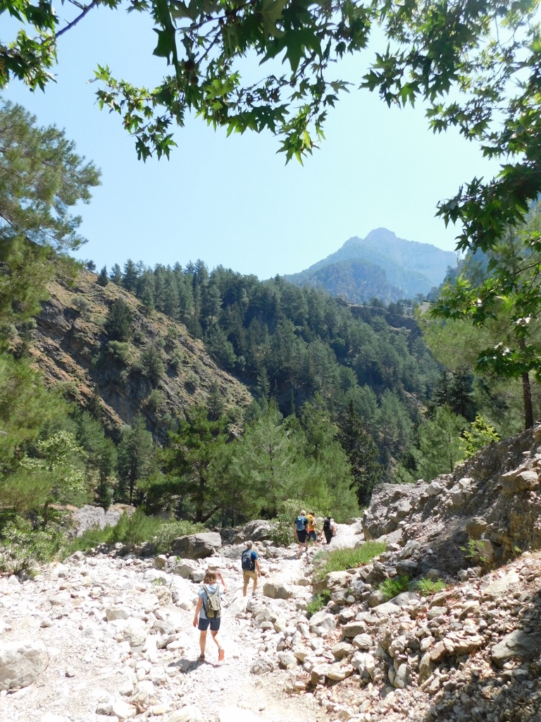
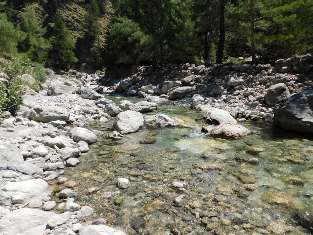
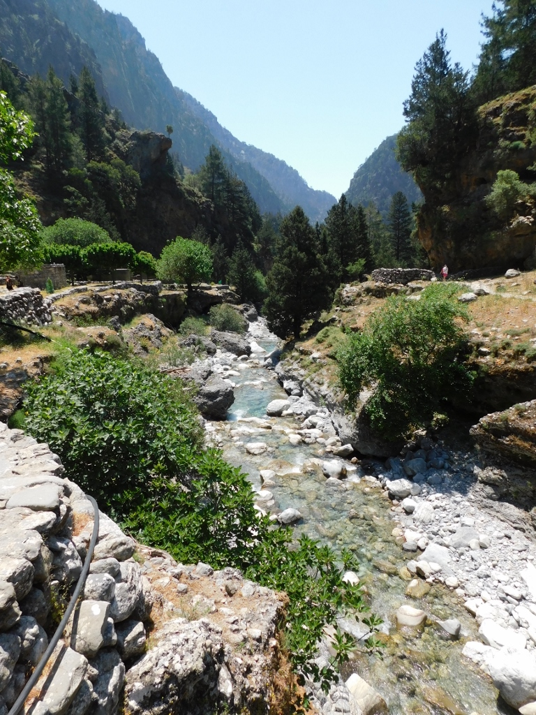
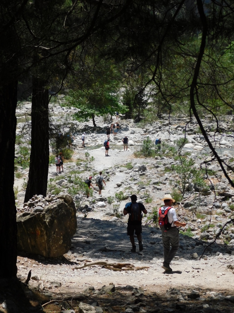
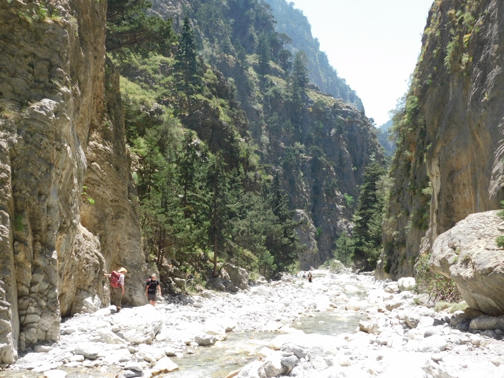
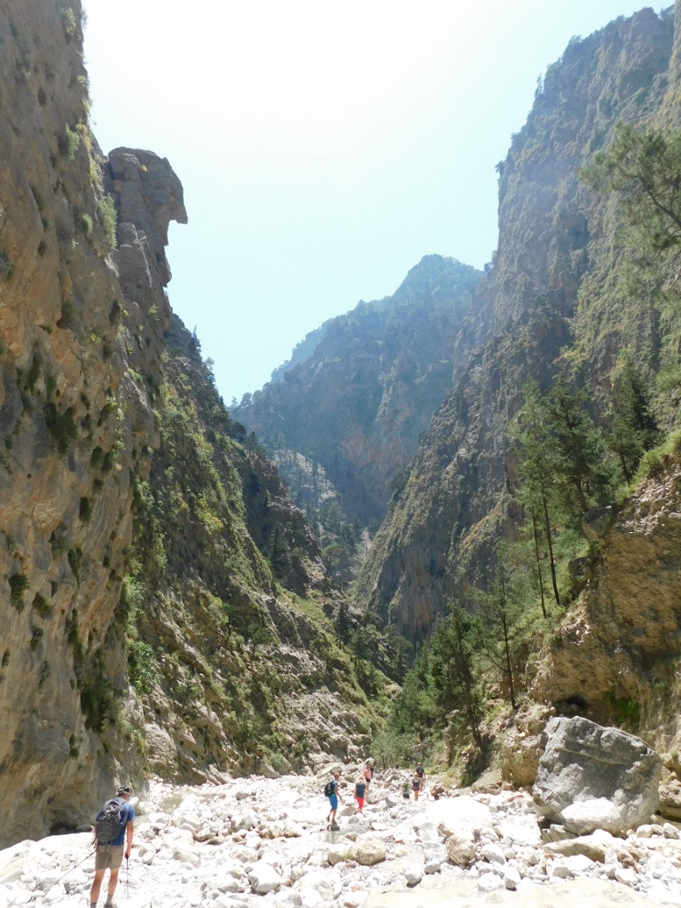
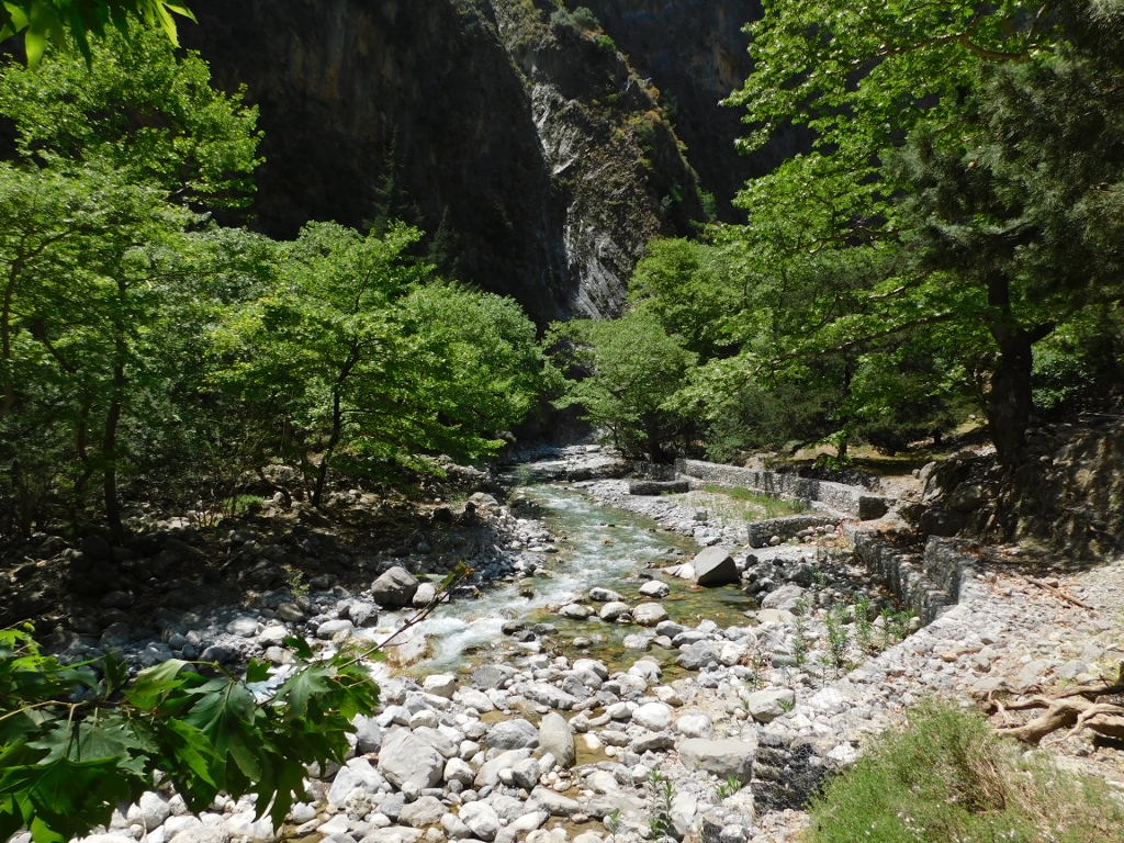
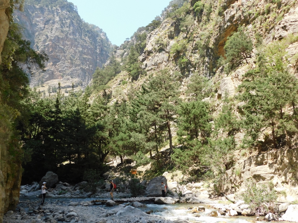
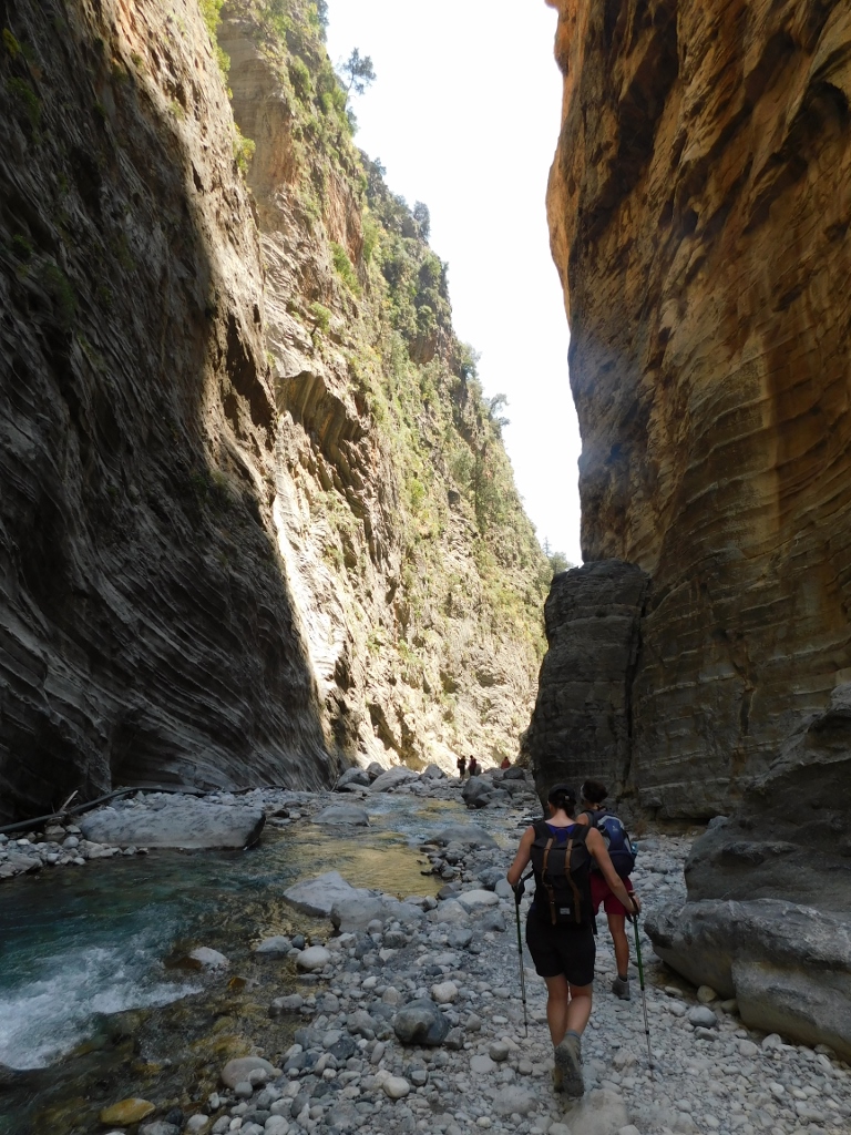
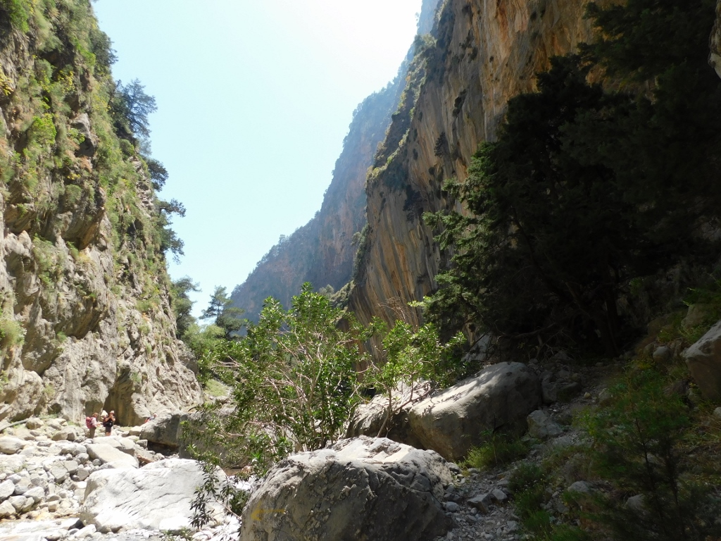
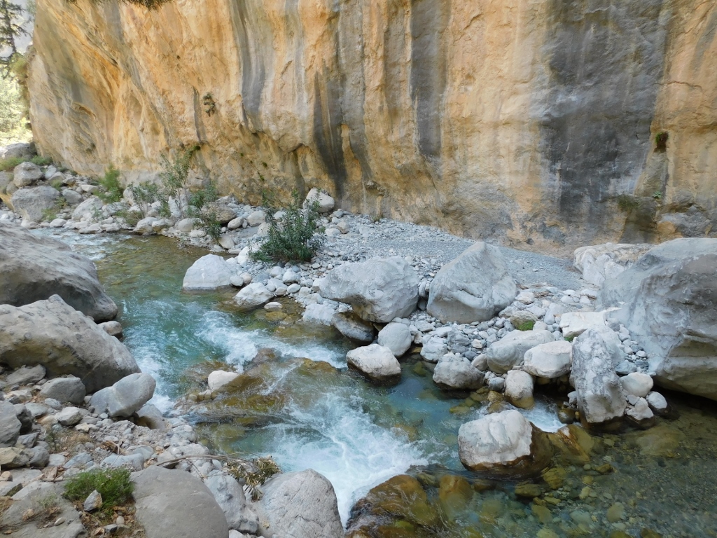
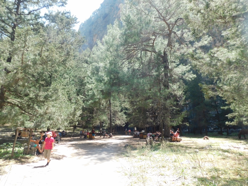
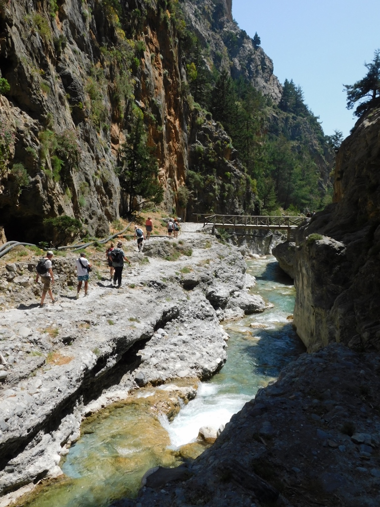
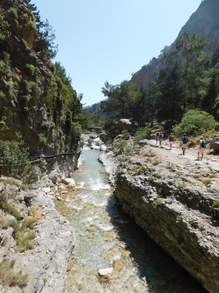
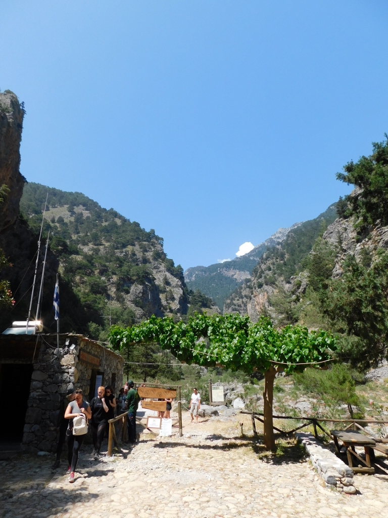
I have already mentioned that the trail leading through the gorge that is envisaged for the visitors leading from the north (higher) to the south (lower) entrance is 13 km long. The first part of my hike along the gorge has already been described in the previous sequel of my Crete travel stories, while I start the second part with a photo that shows how after a certain period of time and steeper descent one enters a flatter area that is also more open. This means that it becomes hotter as well and the visit to the gorge greatly depends on the season.
 Samaria Gorge, a detail
Namely, the gorge is closed to visits from October to May and during the summer period there are certainly differences in terms of the quantity of water in the river and, much more important, the outside temperature. The sun of south Europe, in a place that is around 200 km north of Africa, is by all means relentless in July and August. On the other hand, I believe that a visit to the gorge is also very interesting during other months and not only in May when I was there, because of the different phases of the life of nature.
 Samaria Gorge, a detail
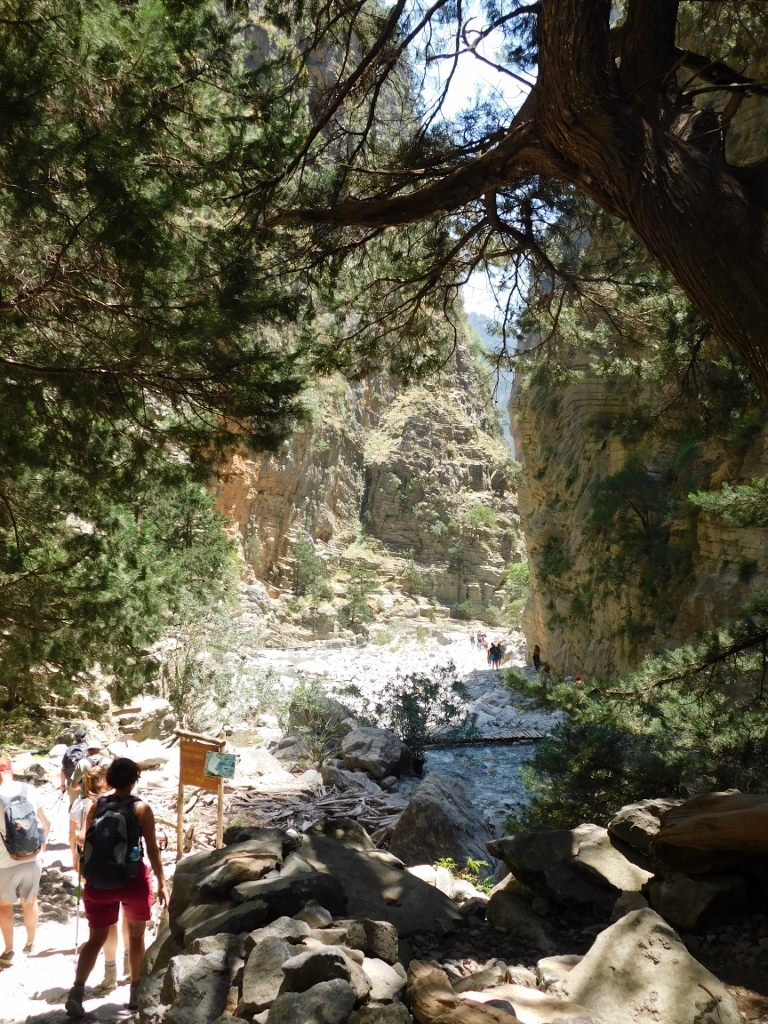
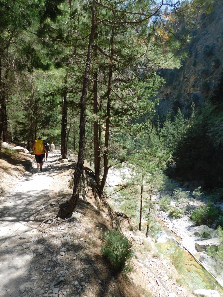
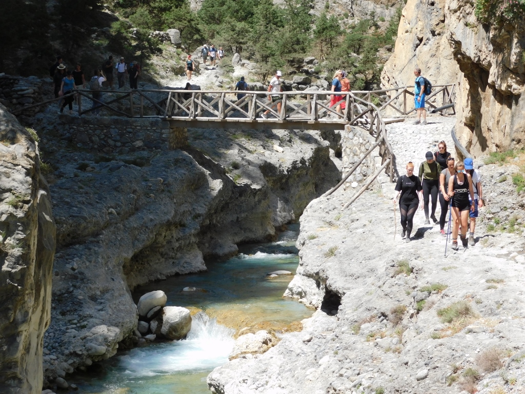
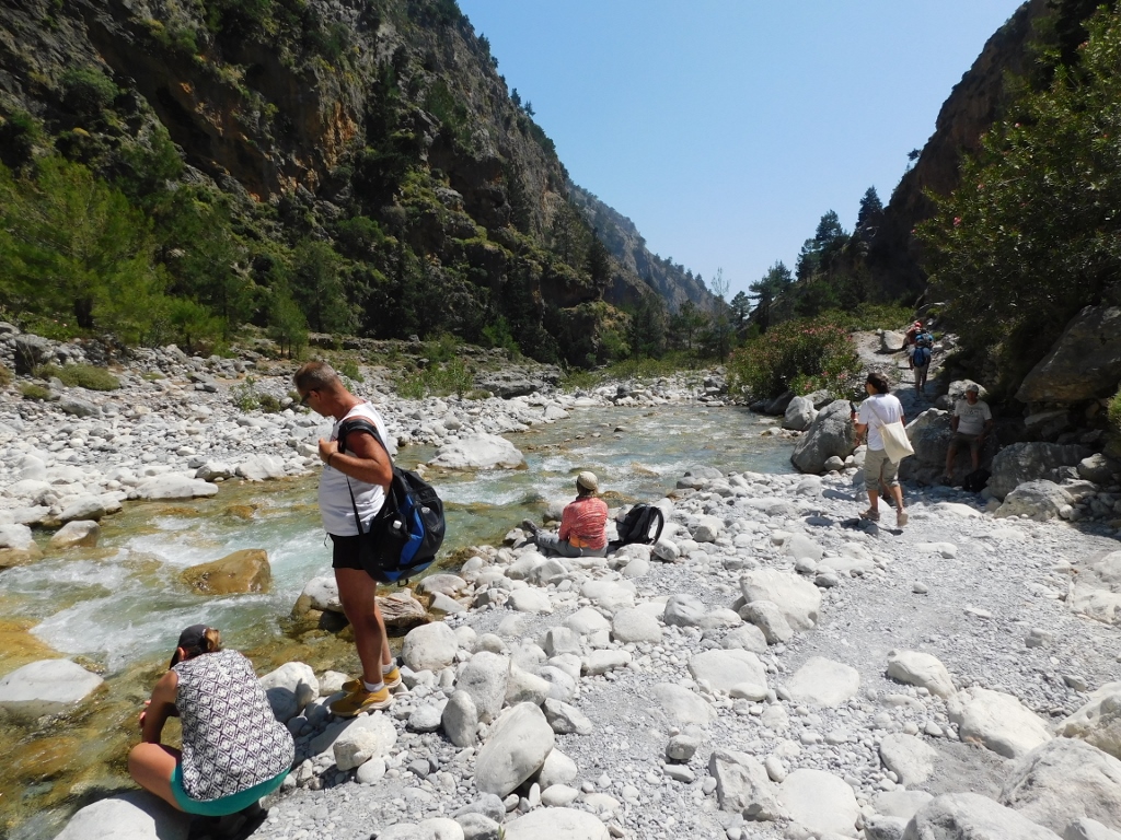
The visitors come to the gorge either independently (by car to the parking lot close to the beginning of the trail) or as a part of a group, while groups are often organised in tourist centres around Crete as a part of the offer linked to the excursions. As a rule, everybody walks at their own pace, while the guides, as well as the park’s employees, make sure that nobody is lagging behind. The people from my group with whom I came by coach to Samaria were told by the guide at which restaurant in Agia Roumeli we were to meet later on and by which time, since the ferry transferring visitors to a village with a connecting road where the coach was waiting for us had a fixed departure time. Everything else depends on the rhythm you are moving at and on how often you make stops along the way. It took me around 8 hours, since I frequently made breaks in order to take photos, but there are certainly lots of people who cover the distance in around 5 hours.
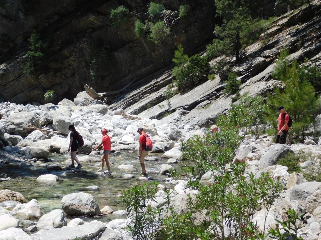
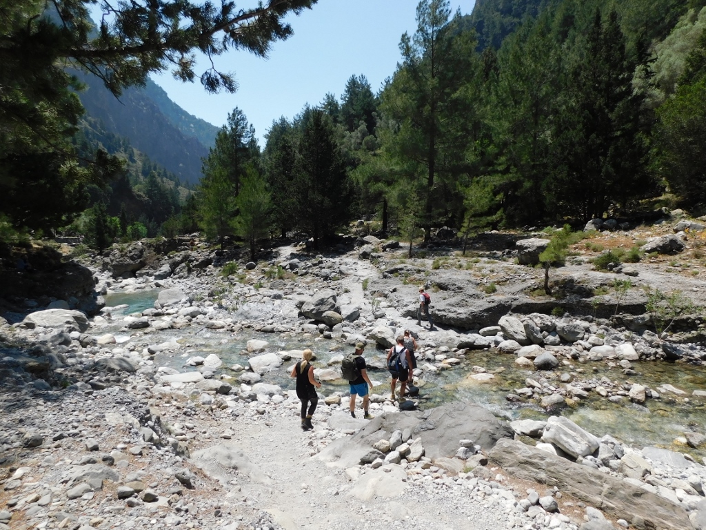
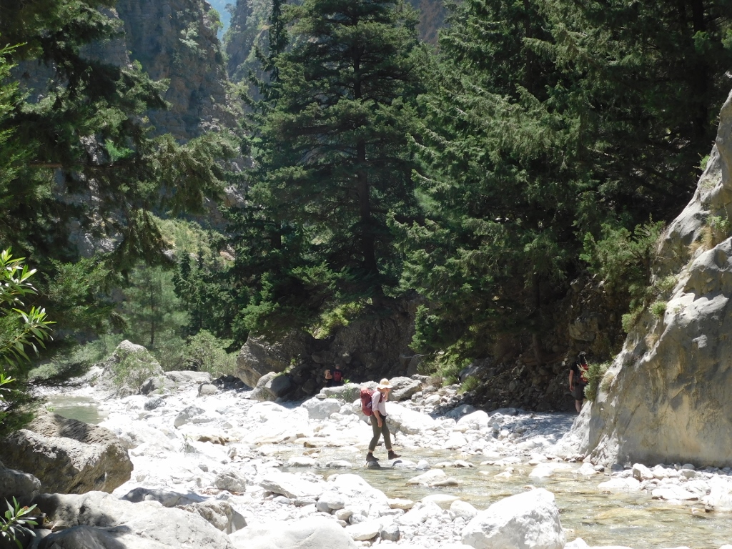
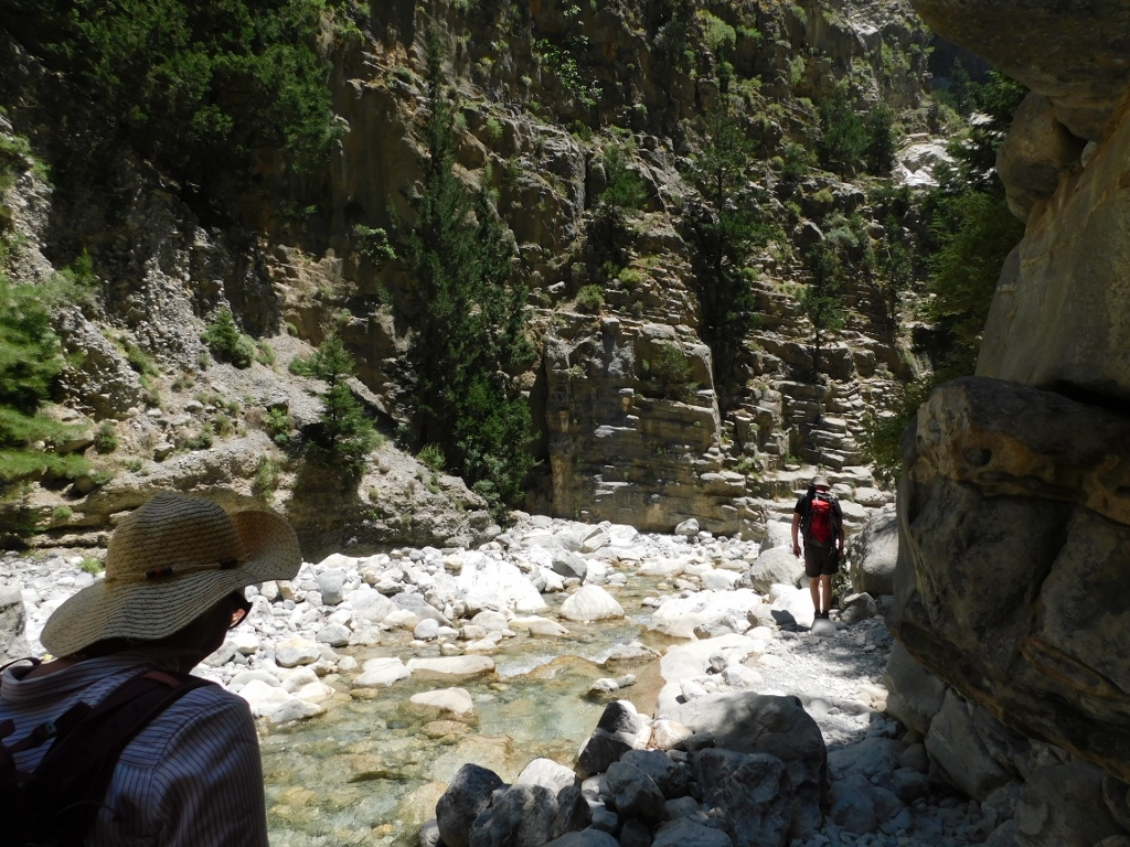
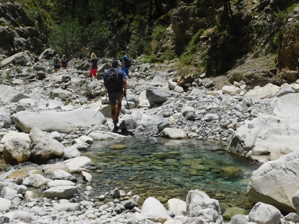
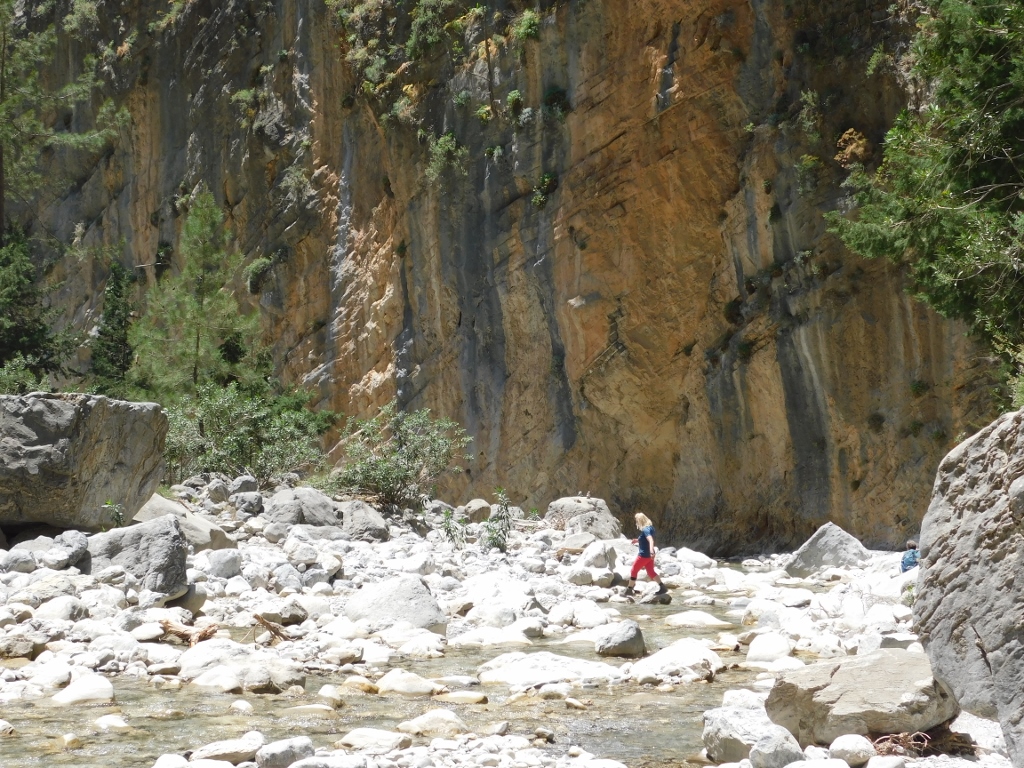
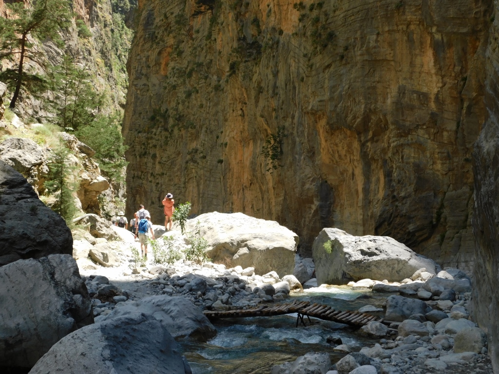
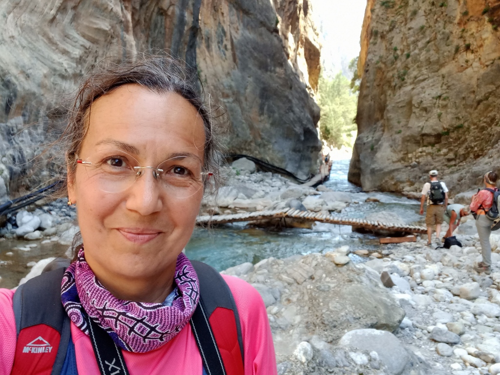
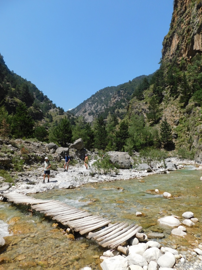
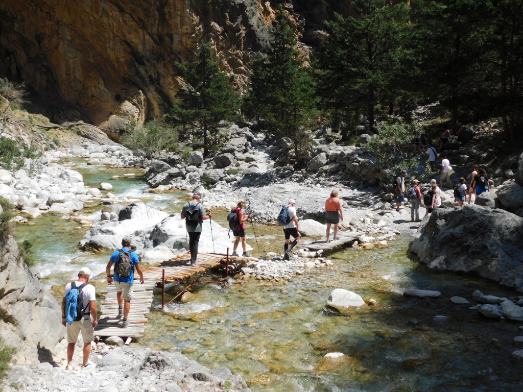
From time to time I was quite alone on the trail, but occasionally I also came across other visitors. I was particularly glad when I could take a photo of them crossing the river, for I was naturally doing the same thing, but then I would not take any photos as it was important for me to be fully concentrated and look carefully where I was treading.
 Samaria Gorge, a detail
 Samaria Gorge, a detail
 Samaria Gorge, a detail
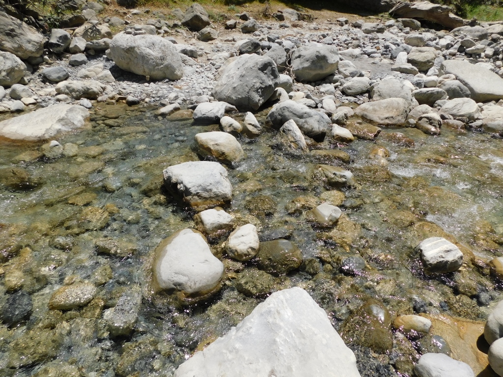
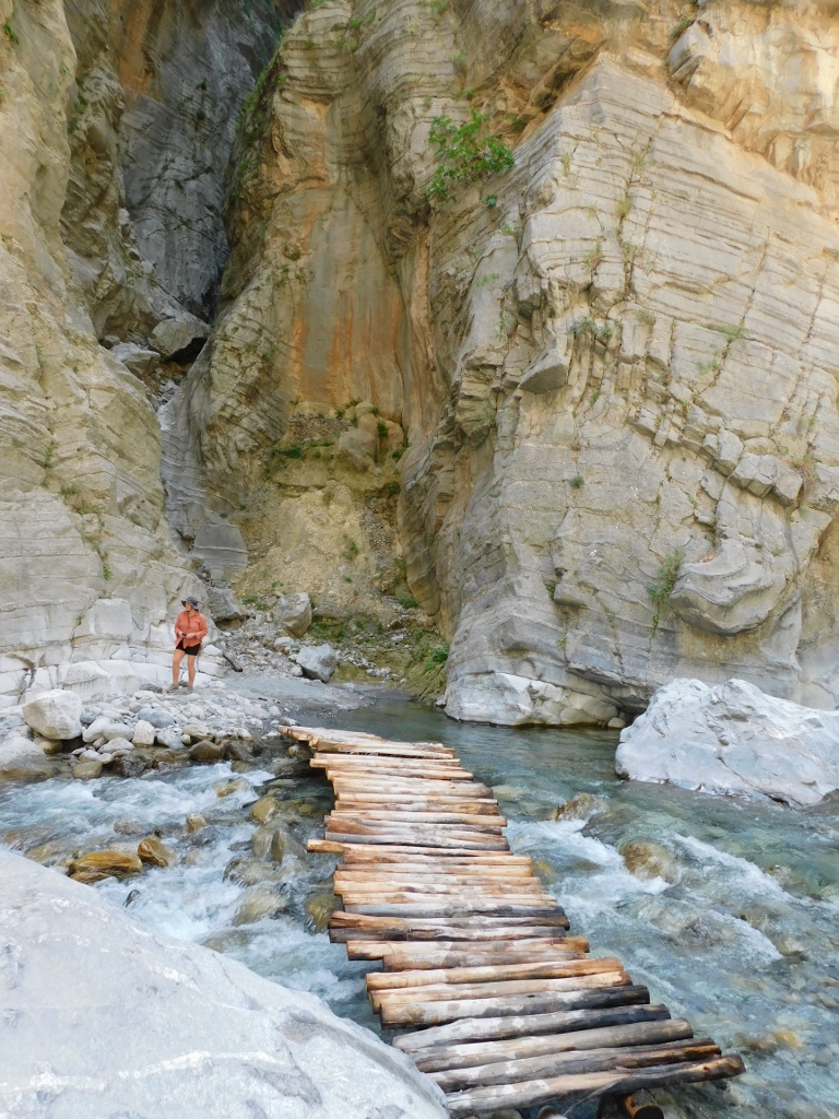
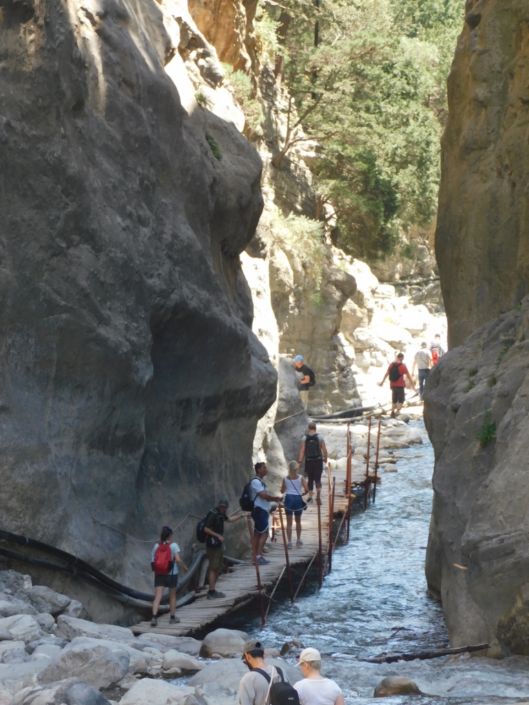
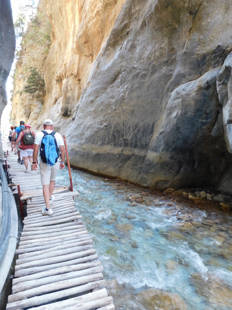
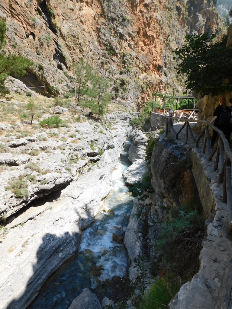
The national park maintains this trail quite well and this can be seen in particular at these river crossings. As it may be concluded from the photos, there are lots of rocks here, but it is absolutely clear that the big pieces of rocks have been placed in such a way that one can walk over them easily and I did not come across any of them not being fully stable. Still, it is necessary for one to mind the step, for one can easily slip or miss out a good spot where the foot is to be placed. A little later, a man walking in front of me missed just one such place and fell knee-deep into the river. Nothing bad happened, but he later had to sit down in order to squeeze the water out of his socks.
 Samaria Gorge, a detail
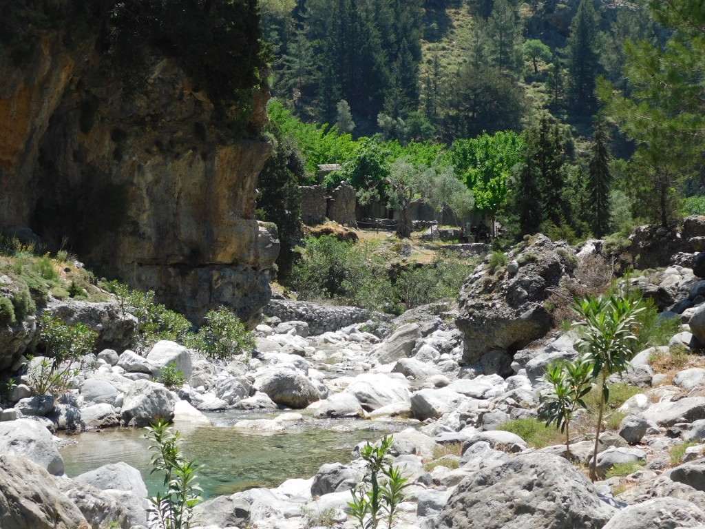
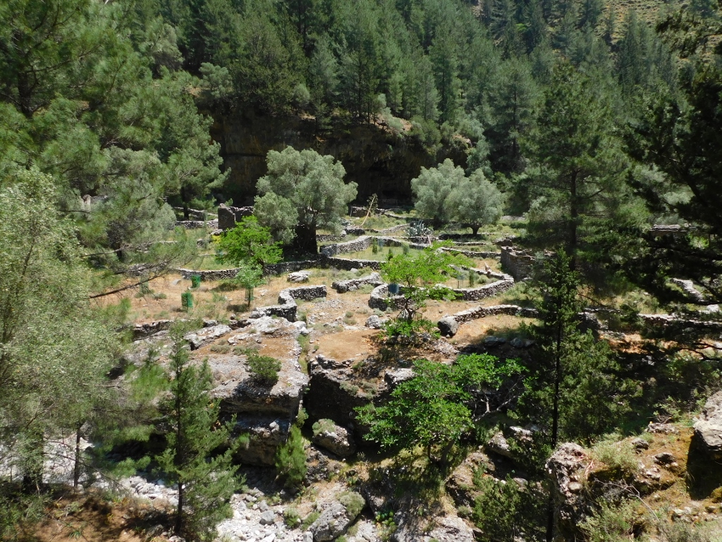
After some 7.5 km from the north (upper) entrance into the gorge, Xyloskalo, and 8.5 km from village Agia Roumeli on the coast, there is the abandoned village of Samaria.
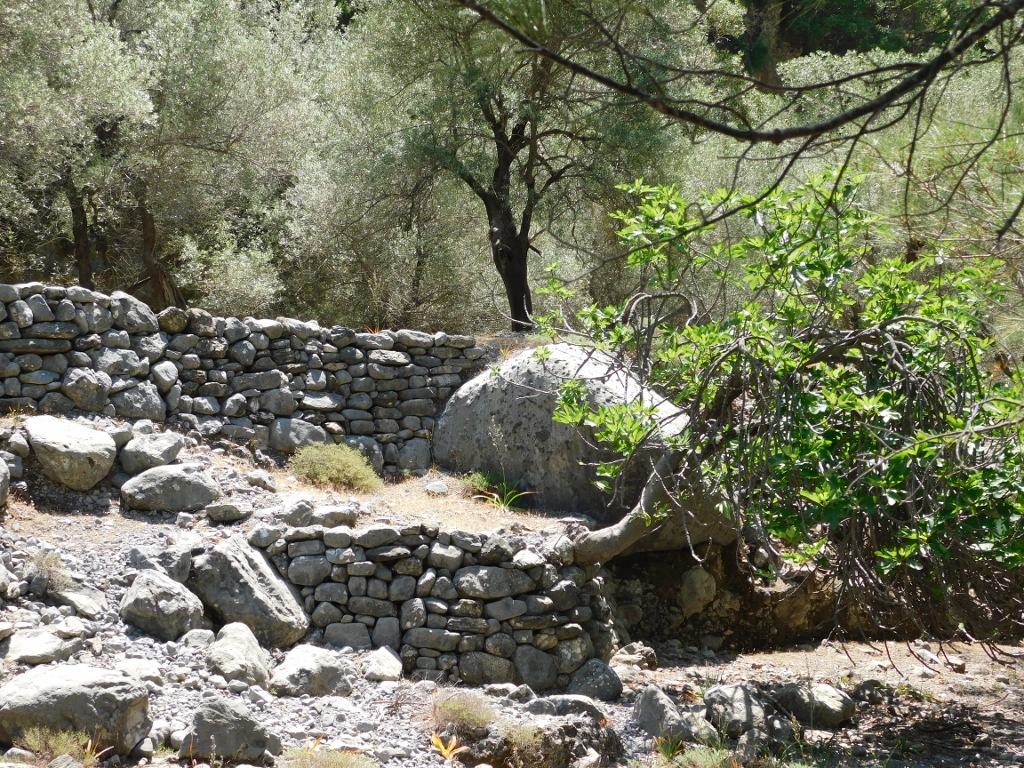 Coming across the remains of human activities from the past
 In the middle, by the fresh green treetops, there are remains of some buildings
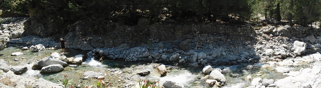
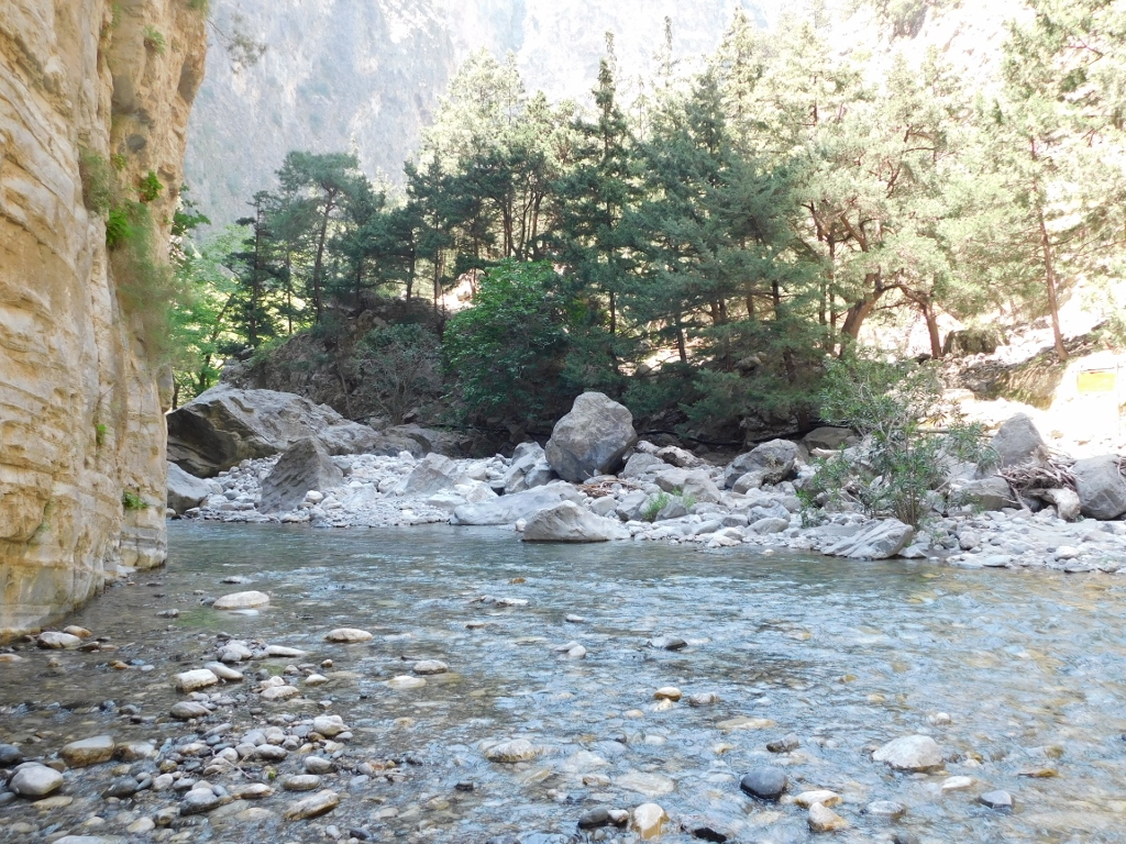
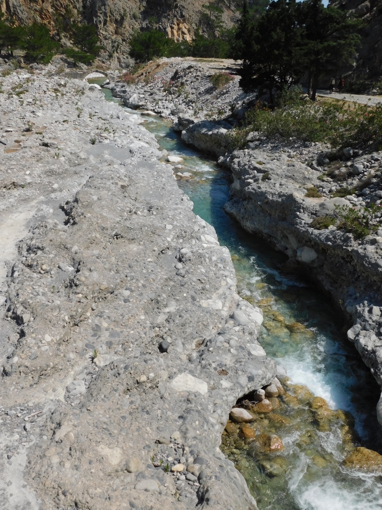
The river seemed especially beautiful and crystal clear here.
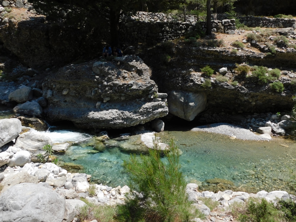 The river in the vicinity of Samaria village
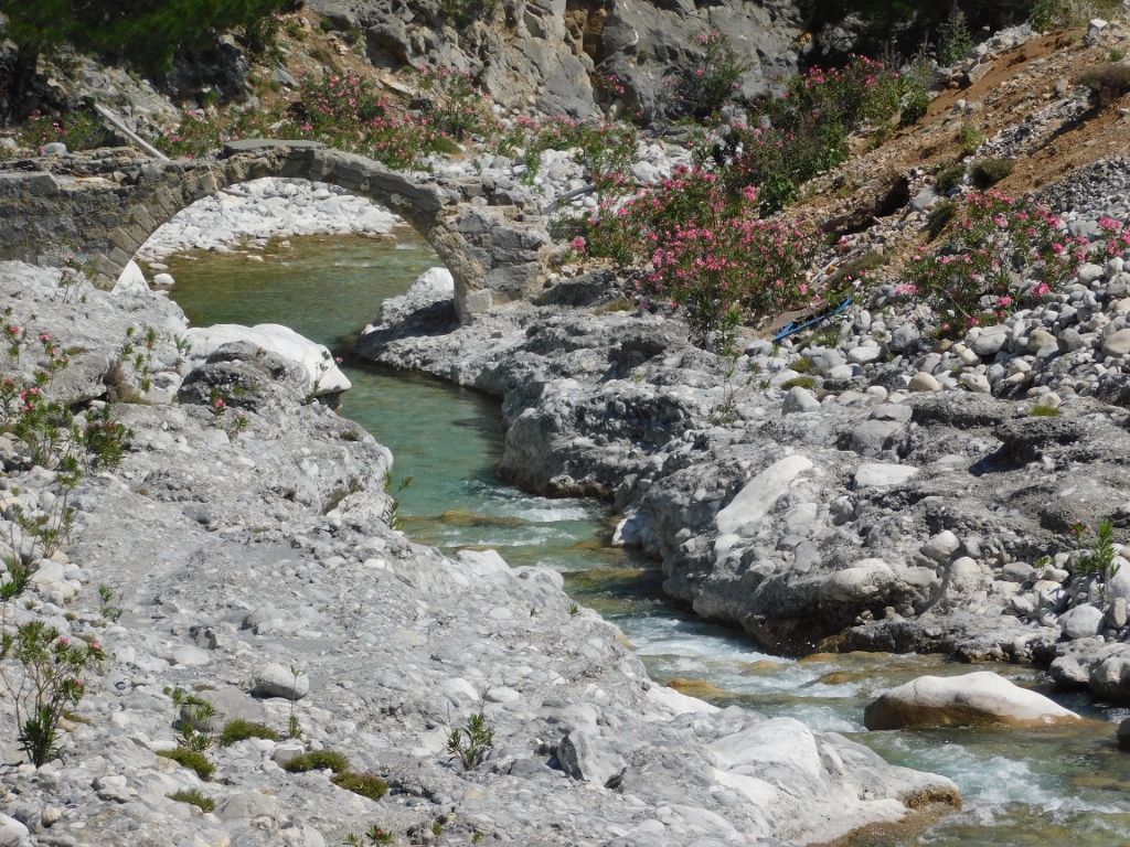
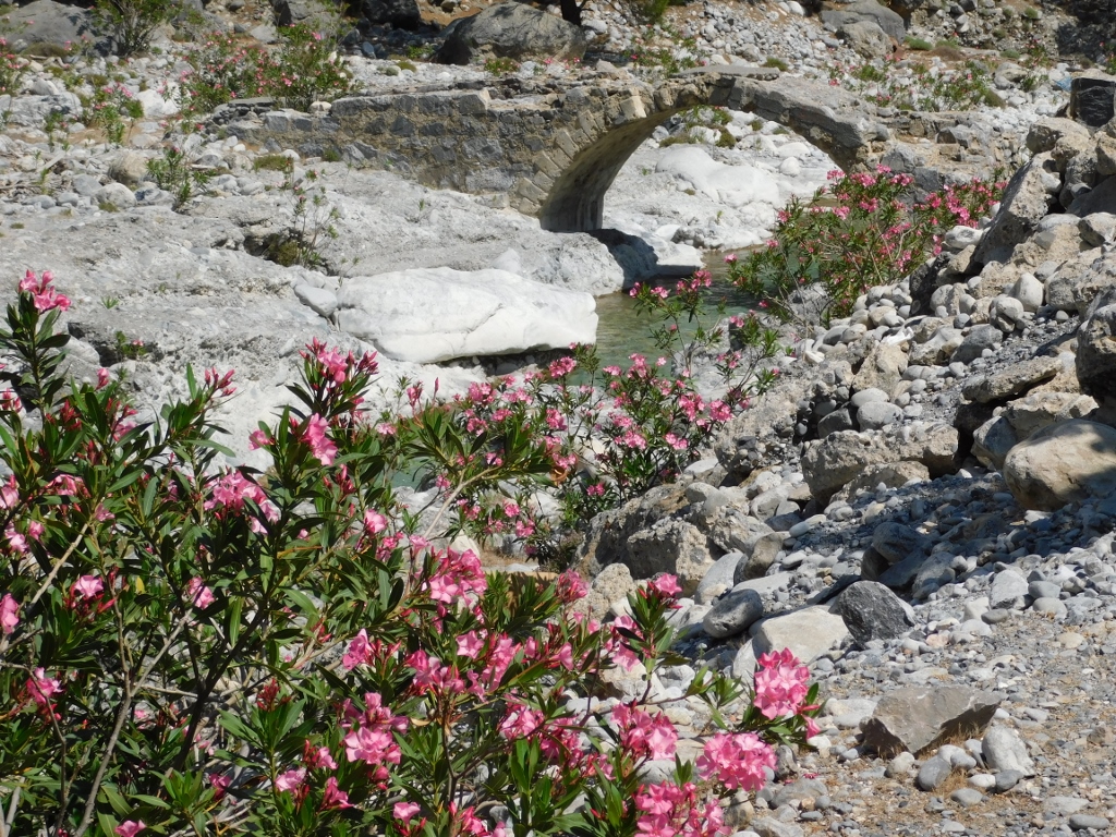
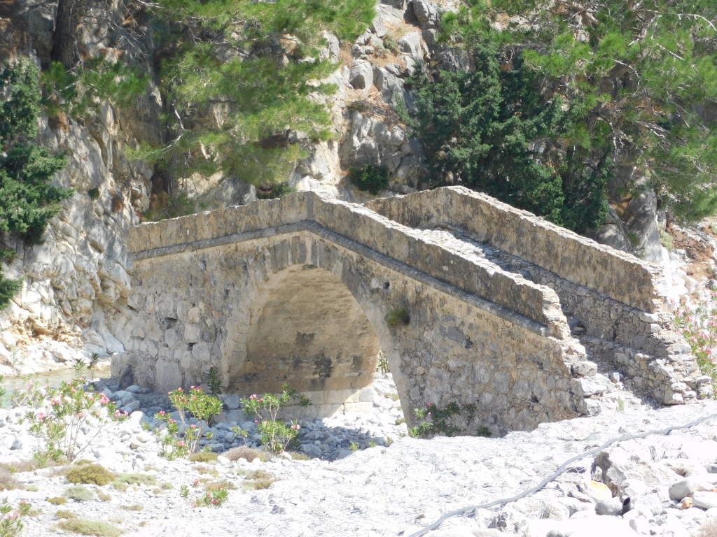
Today, the remains of the village where there is a rest area can easily be reached by a bridge leading over a miniature gorge within the large gorge.
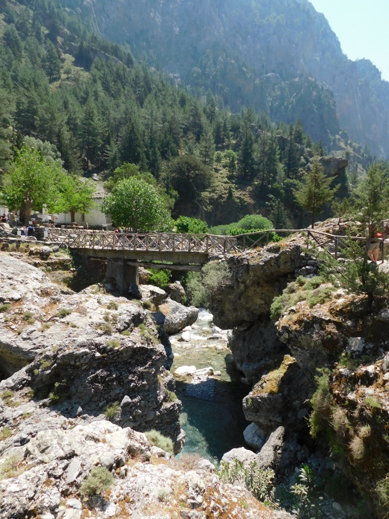 Bridge at the abandoned Samaria village
 Bridge at the abandoned Samaria village
The inhabitants of village Samaria used to do wood cutting and bee keeping. In addition, close to the village, you can also see olive trees and this was only for the personal use of the residents. The village was abandoned in 1962 when this whole area was declared a national park and some of the houses that have survived to date are used for the needs of the national park.
Needless to say, I stopped by here in order to sit and cool down a little, but while I was crossing the bridge I also paid attention to different sites – the view upstream from where I came, the view downstream where I was to head and the view downwards just in order to admire the beautiful clear water.
 View from the bridge by the abandoned village Samaria, upstream
 View from the bridge by the abandoned village Samaria, downstream
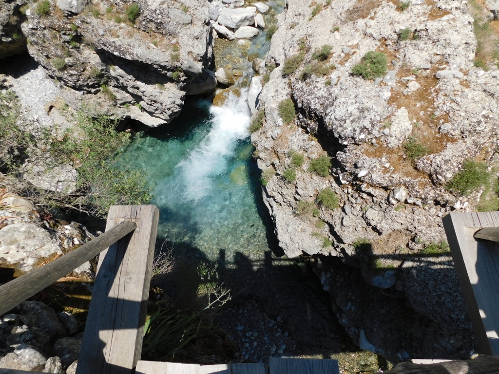 View from the bridge by the abandoned village Samaria, downwards
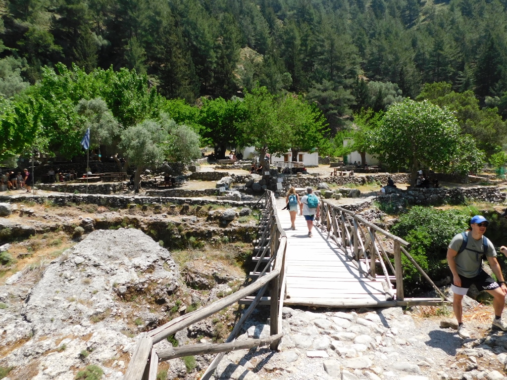
There is a drinking fountain here, too, as well as benches and tables. By the way, there is no food to be bought anywhere along the Samaria Gorge, so the visitors have to take the food they need with them.
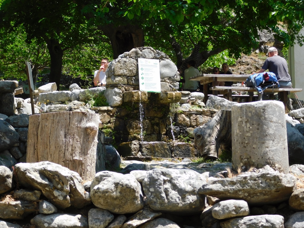 Drinking fountain in the abandoned village Samaria
Some hundred metres after one returns back to the trail there is Christ Church, but it was closed.
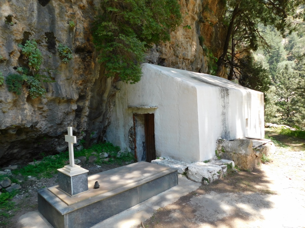 Christ Church
Another hundred metres on or so, on the other side of the river, one can see remains of the walls that must have belonged to Samaria village. There is also a small church dedicated to Mary of Egypt and beside the visitor trail there is an information board pointing the direction in which the church is. However, I could not spot it, not that I tried very hard. There was still a lot of ground for me to cover.
 View at the village in which there is Mary of Egypt Church
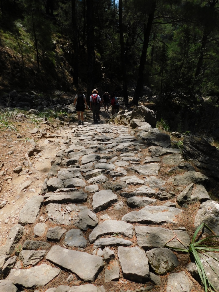
Not far from the village there is also a section of the trail that is “paved.” This are certainly remains of a road that used to exist between Samaria village and the coast. However, that paved section of the trail soon disappears.
 Samaria Gorge, a detail
 Samaria Gorge, a detail
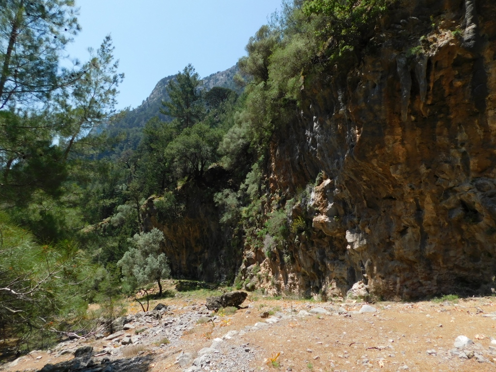
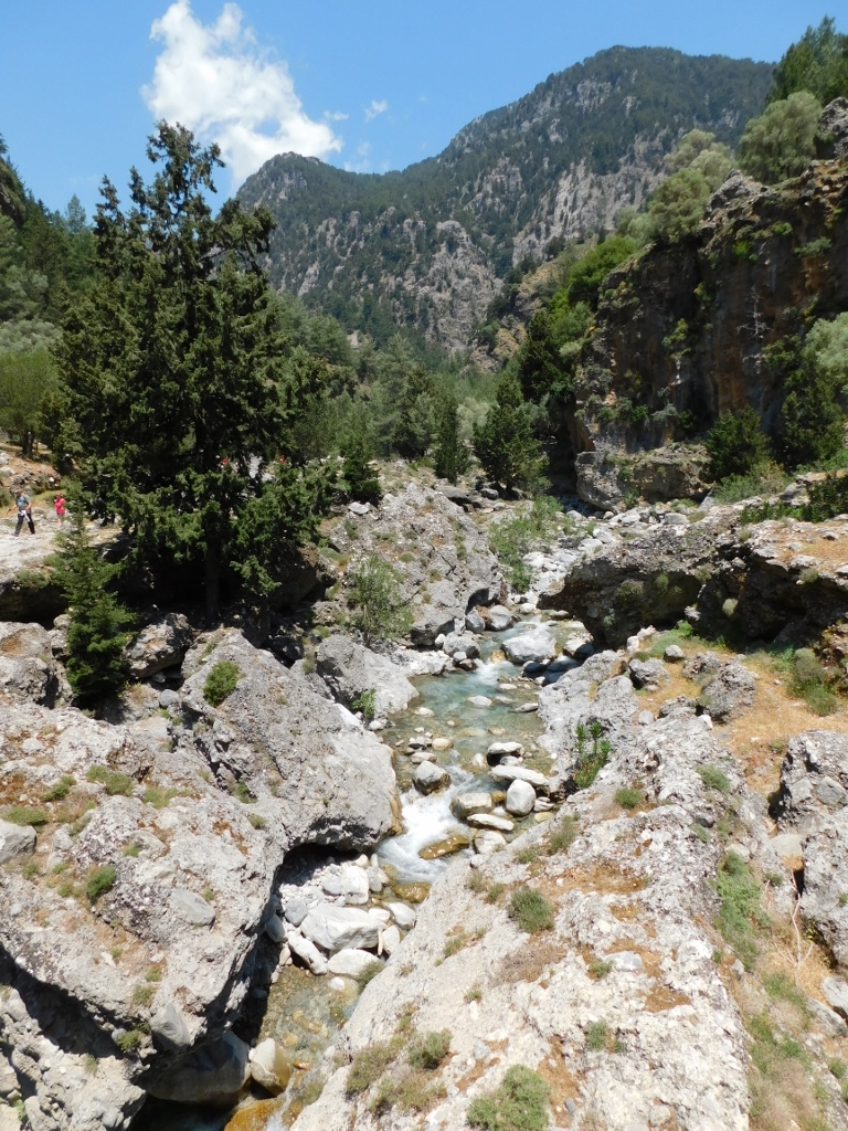
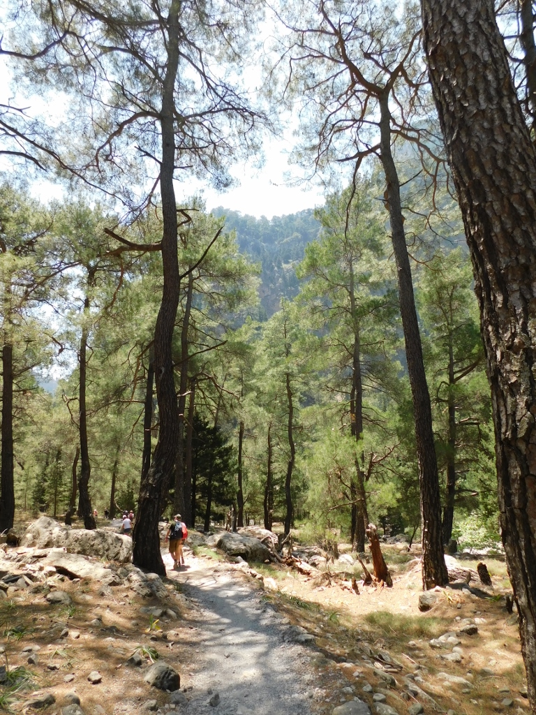
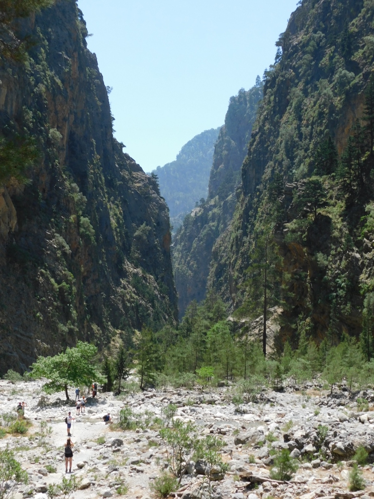
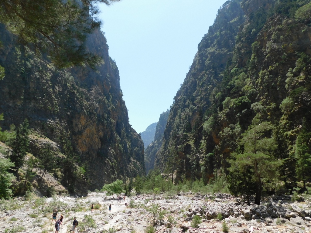
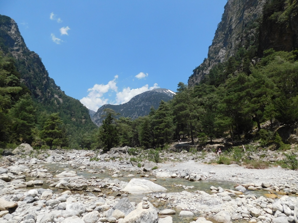
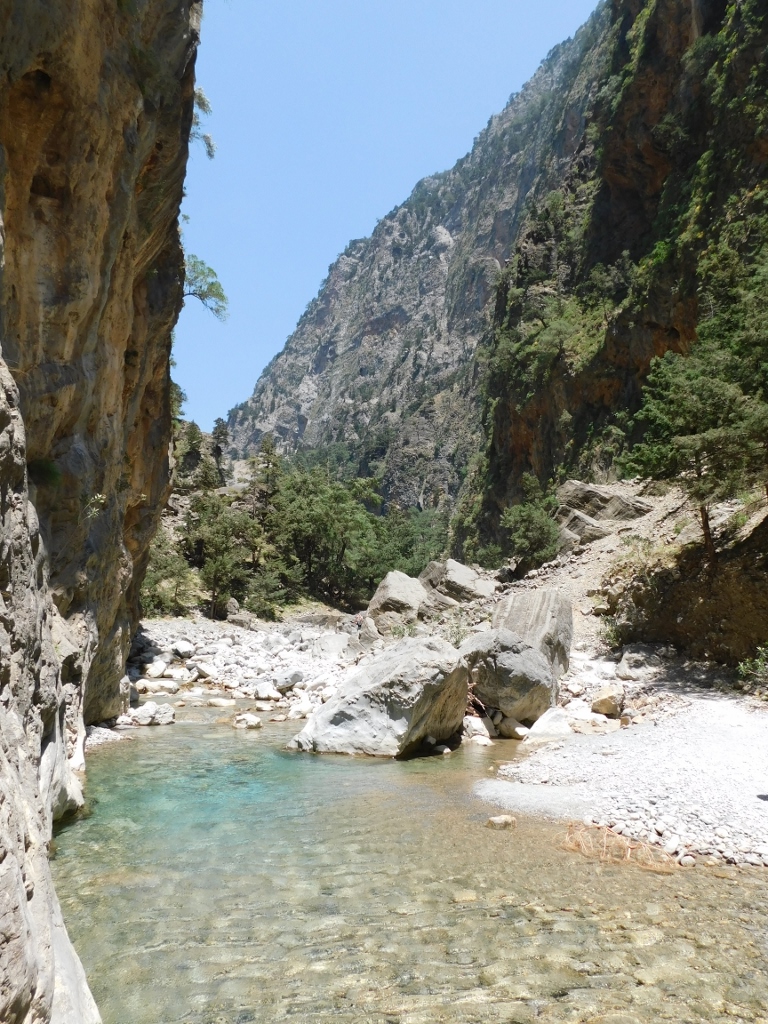
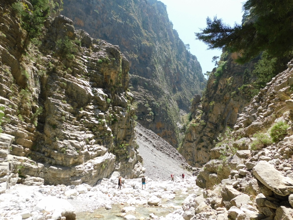
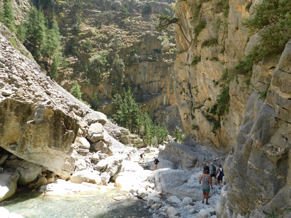
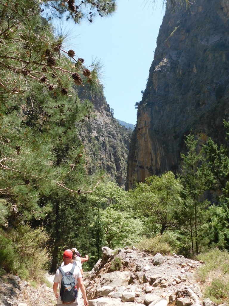
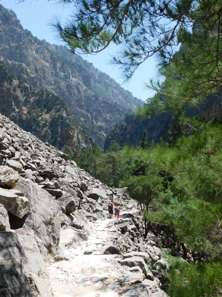
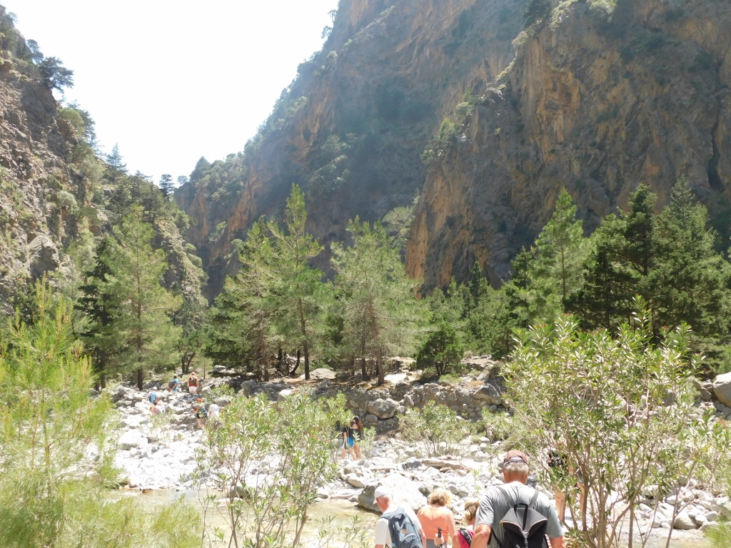
Here the trail again led through a forest, but the forest ended soon, at least as far as the trail and its immediate surroundings were concerned. Slowly we entered a very steep canyon and the area of its comparatively flat bottom covered in rocks. Here comes a series of photos that depict this part of the trail with only sporadic and minimal comments provided as a description of the photos.
 Samaria Gorge, a detail
 Samaria Gorge, a detail
 Samaria Gorge, a detail
 Samaria Gorge, a detail
 This is the part of the Samaria Gorge that I have left behind
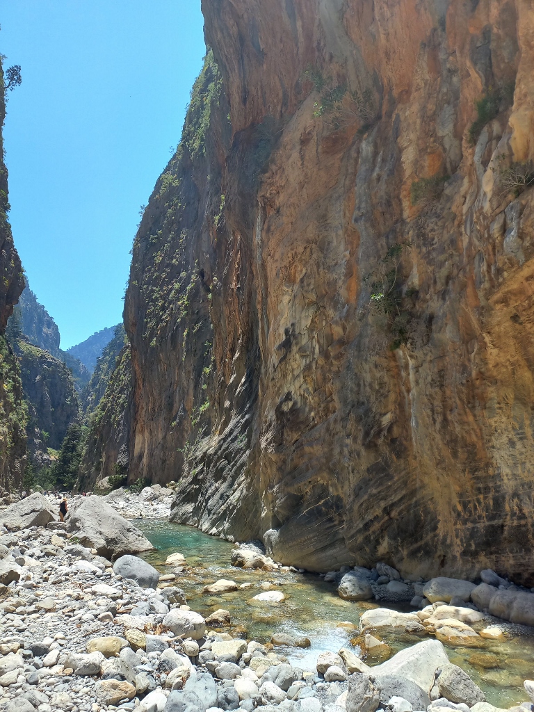
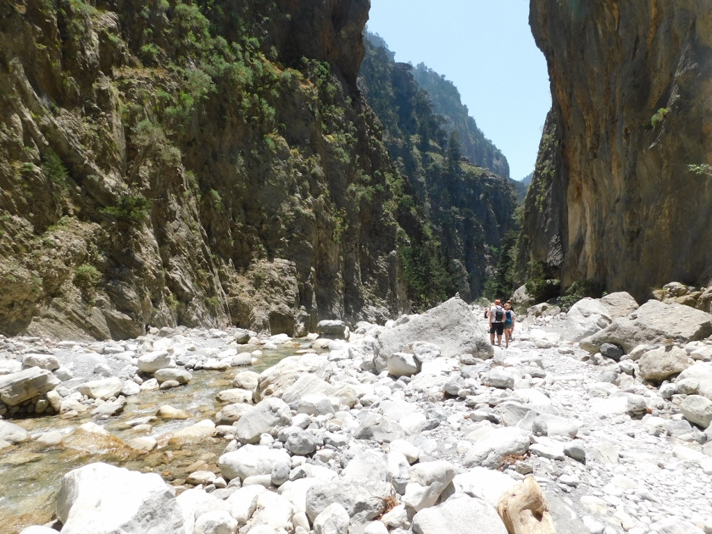
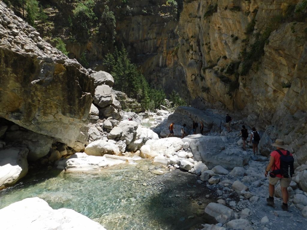
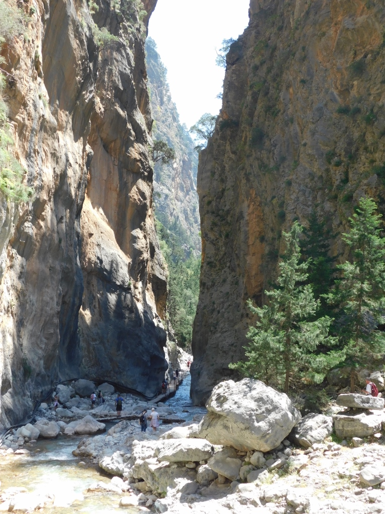
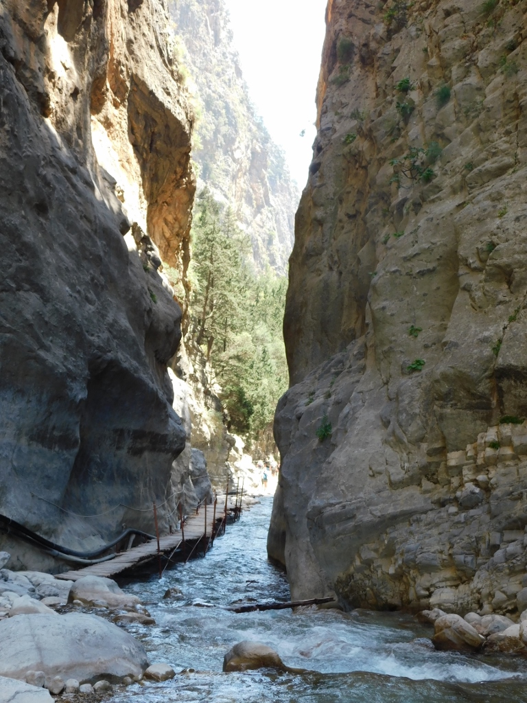
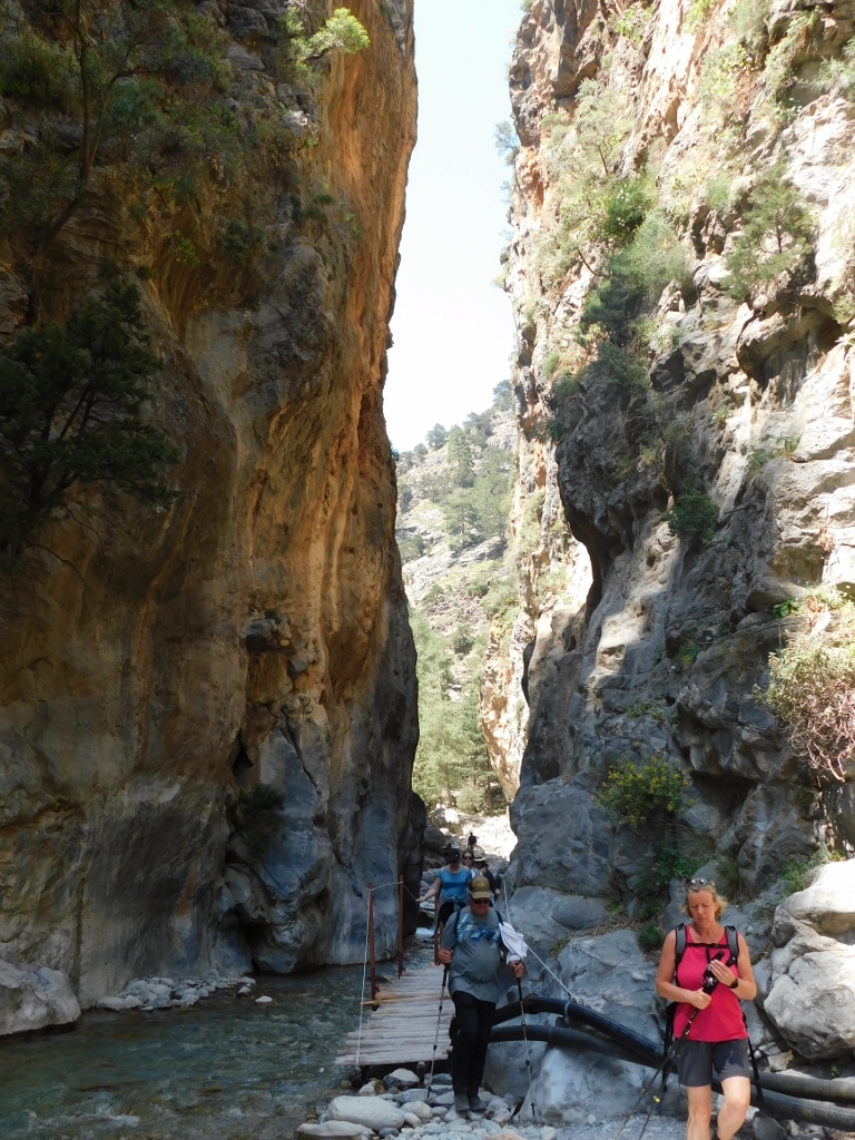
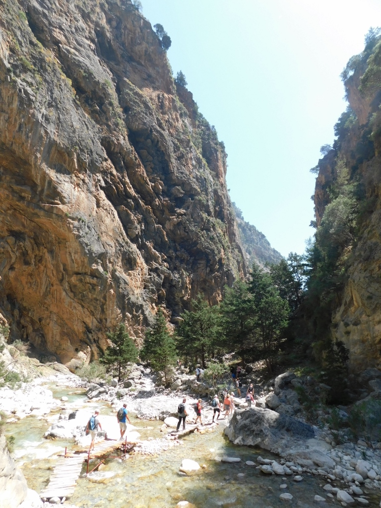
Since the space through which the river flows here is not very wide, the trail zigzags and relatively often crosses the river.
 Nicely arranged rocks so that one can cross safely
Then the trail takes you up a little only to bring you down again to the level of the river. I often made stops and took photos because that was the only way for me to express my admiration and joy for being there, while not shrieking with happiness (making noise is also prohibited on the territory of the national park). On the other hand, when you see the number of photographs I’m posting with this sequel of the Crete travel stories (and I took many more of them), it is clear why it took me over 8 hours to get to the end of the Samaria Gorge.
 This is a part of the Samaria Gorge that I have left behind
 Samaria Gorge, a detail
 Samaria Gorge, a detail
 Samaria Gorge, a detail
 Samaria Gorge, a detail
 Samaria Gorge, a detail
 Samaria Gorge, a detail
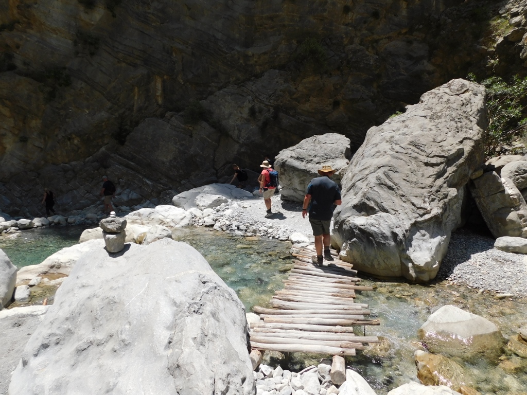
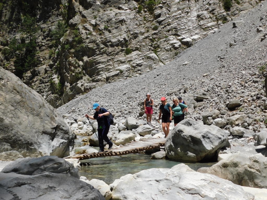
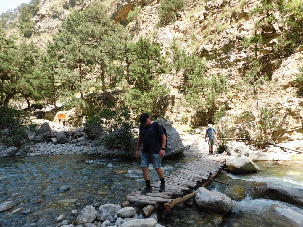
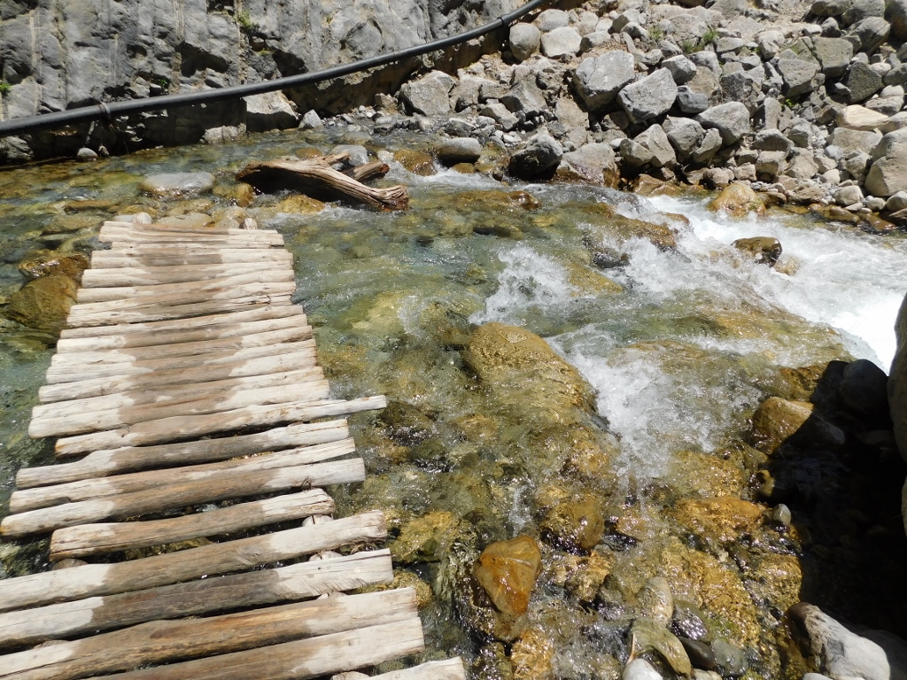
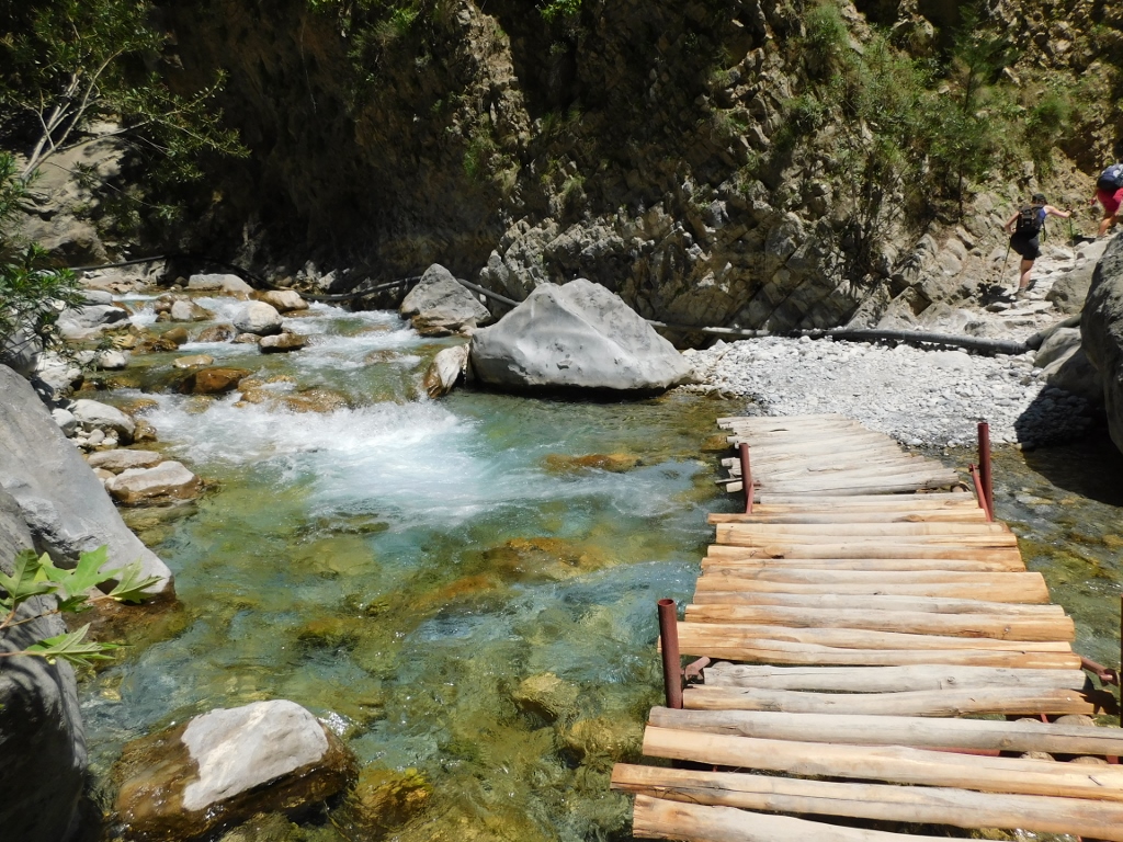
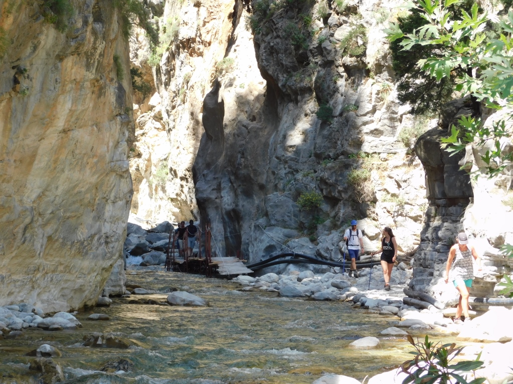
At some point, the visitors start coming across small wooden bridges placed there for the crossing of the river, since the rocks in this spots would not suffice.
 Samaria Gorge, a detail
 Samaria Gorge, a detail
 Samaria Gorge, a detail
 Samaria Gorge, a detail
 Samaria Gorge, a detail
 Samaria Gorge, a detail
 Samaria Gorge, a detail
 Samaria Gorge, a detail
Then, briefly, the trail leaves the bottom of the canyon and leads through a partially green zone.
 Samaria Gorge, a detail
In a couple of places, one can also notice results of human interventions, such as stone walls, but it remained unclear to me who built this and why.
 Samaria Gorge, a detail
And then the trail goes down to the bottom of the canyon again and continues there.
 Samaria Gorge, a detail
 Samaria Gorge, a detail
 Samaria Gorge, a detail
 Samaria Gorge, view at the area I’m coming from
 Samaria Gorge, a detail
 Samaria Gorge, a detail
 Samaria Gorge, a detail
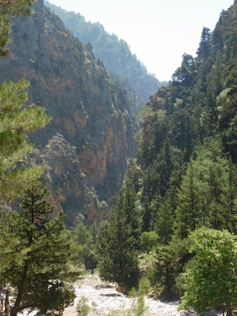
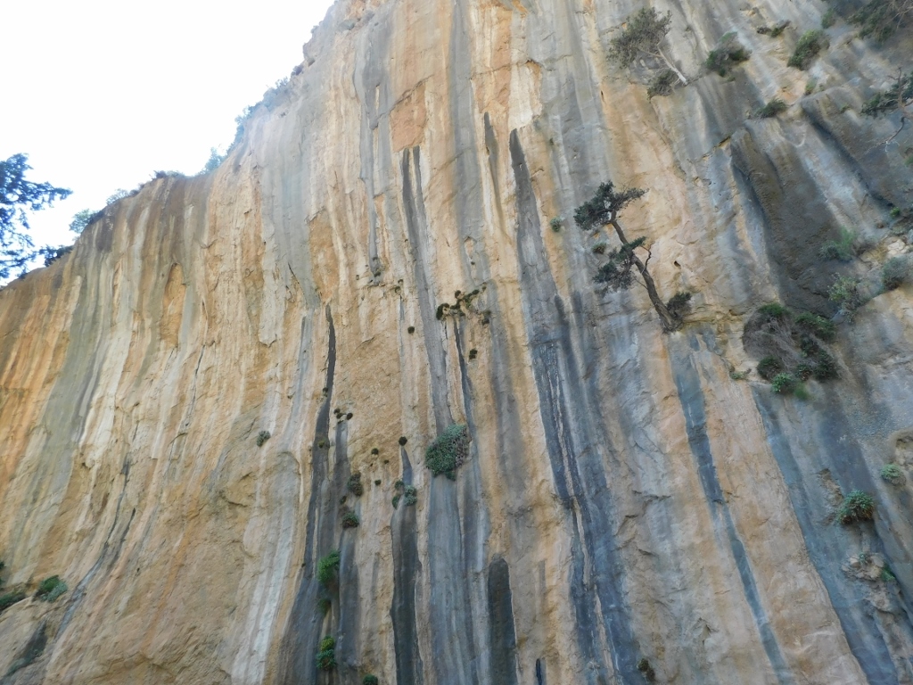
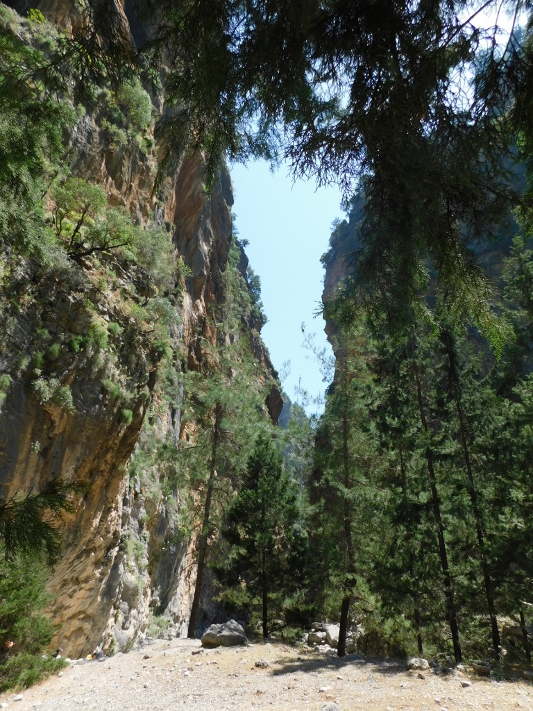
In this area, the trail enters a narrow section which is a true canyon and its sides are vertical. By the way, any destroying or damaging of the geological formations is also strictly forbidden. I don’t know why anybody would want to do something like that, but then we are all different. It is also prohibited to throw stones, but this I find clearer. Not only that you can directly hurt somebody in this way, but this can also cause a chain reaction with other stones and rocks, again with the possibility of hurting somebody or damaging something. This is the place where one only walks, enjoys and possibly takes photos.
 Samaria Gorge, a detail
 Samaria Gorge, a detail
 Samaria Gorge, a detail
In the following photo it is possible to see a thick pipe that is installed along the gorge in this section and I presume it transfers water, but I do not know any details. You can also see a couple of other elements linked to human intervention – not only is there a small bridge, but also there is a tree trunk placed in such a way that it can be used to cross the river.
 Samaria Gorge, a detail
While walking through the Samaria Gorge, the visitor should indeed look all around – primarily down, where one walks and puts his/her feet, but occasionally also up, or to the left, or to the right... Wherever you look there are some gorgeous details.
 Samaria Gorge, a detail
 Samaria Gorge, a detail
The next photo shows a small bridge made of long wooden cylinders, but it is positioned over a metal carrier. It is clear that the river is too deep here, as well as powerful enough for a mere wooden structure to survive.
 Samaria Gorge, a detail
Again the trail went up at some point and then it led to a very rocky slope with rock creep, but there were no problems in passing this.
 Samaria Gorge, a detail
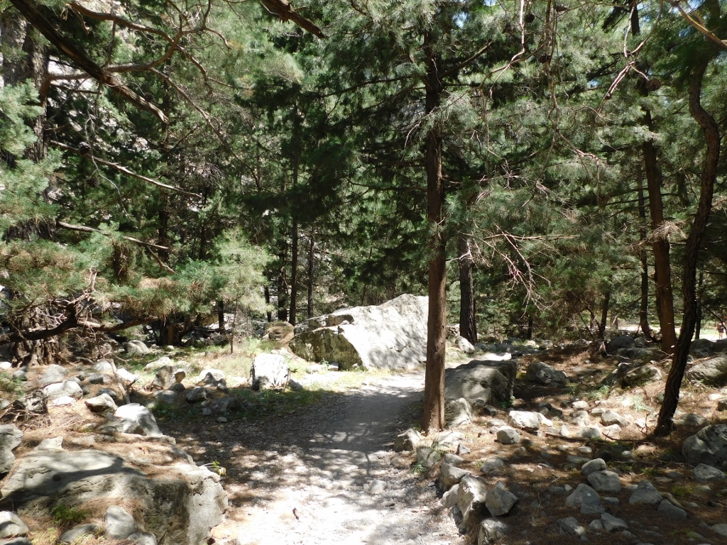
Then the trail enters a forest again and leads to yet another rest area.
 Samaria Gorge, a detail
 Samaria Gorge, a detail
You continue here to walk through the forest and then you get to a narrow section.
 Samaria Gorge, a detail
 Samaria Gorge, a detail
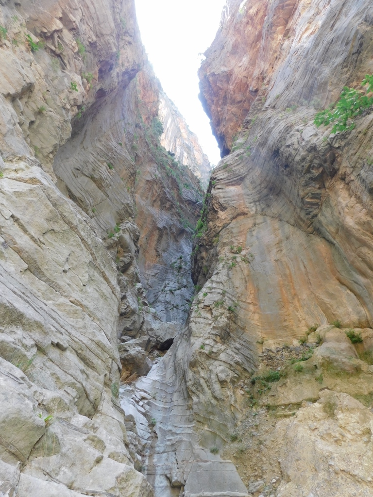
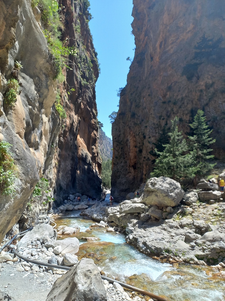
And not only is this a narrow section, but it is also the narrowest section of the entire gorge. This is called the Iron Gates of the Samaria Gorge.
 Iron Gates, the Samaria Gorge
 Iron Gates, the Samaria Gorge
Different sources provide different data about how narrow and how tall this passage is. The website of the national park says that in the section called the Iron Gates the canyon is 4 m wide and 500 m high. When you get to the place itself, the information board placed there says that the canyon is 3 m wide and 100 m high. After all, this is not that important. The place is truly beautiful. Suffice to say that I felt like making a selfie.
 At the Iron Gates, the Samaria Gorge
In order to pass here, however, a bridge had to be installed lengthwise, for it would not be possible to walk here in any other way. At some point, I even managed to take a photo of it without any people there. Interesting.
 Iron Gates, the Samaria Gorge
 Iron Gates, the Samaria Gorge
After a short break in order to take photos, I also walked through this canyon and therefore there is a photo of this, too. However, I also filmed the passage using my video-camera and that short clip, together with a few others, can be seen at the end of this sequel of the travel story as a compounded video that shows different parts of the canyon, as well as the departure from village Agia Roumeli by ferry.
 Iron Gates, the Samaria Gorge
 Iron Gates, the Samaria Gorge
 Iron Gates, the Samaria Gorge
After this, it seemed as if the gorge opened up.
 Samaria Gorge, a detail
 Looking back – the Samaria Gorge
 Samaria Gorge, a detail
But, that impression did not last, for the sides of the gorge got closer to each other once again.
 Samaria Gorge, a detail
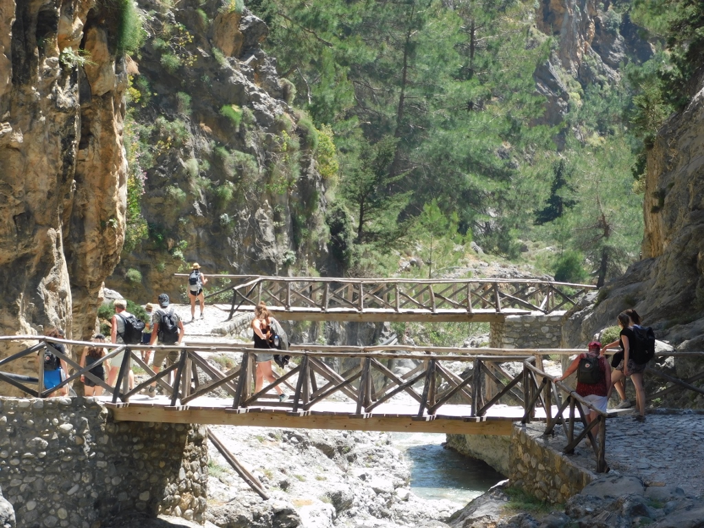
Thus the trail leads again to a rather narrow section, but the “problem” is solved here using two wooden bridges that lead to one side and then to the other.
 Samaria Gorge, a detail
 View from the first bridge downstream towards the second one
 View from the second bridge upstream towards the first one
 View from the second bridge downstream
Getting close to the end, people started to relax more. I also felt the need to sit down and have a good rest, but I postponed that for the very end and so I just walked by here.
 Samaria Gorge, a detail
Soon I got to the exit from the National Park Samaria Gorge. As I’ve mentioned in the previous sequel, it is important for the visitor to have the entrance ticket here, since there is a control at the exit. I don’t know exactly the purpose of this, but that was not a problem at all.
 I’ve just left the territory of the national park that I’m facing while taking this photo
Although I left the territory of the national park, the natural beauties did not disappear. Even in this section, one can see a small canyon made by the river here.
 On the way to village Agia Roumeli
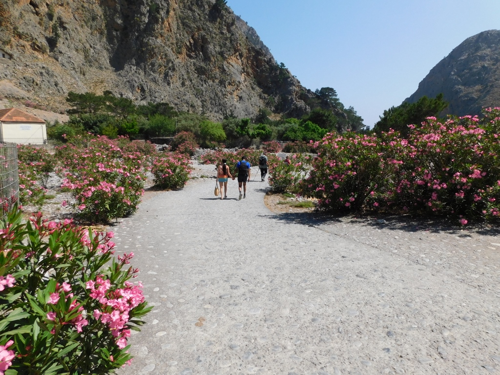
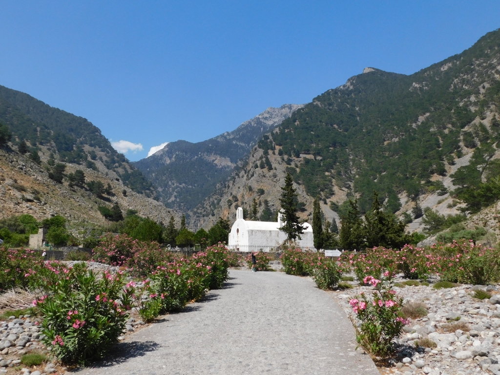
Only some 50 m or so after leaving the national park, one starts coming across restaurants and cafés. O, yes, it was a major temptation, but I resisted and readily continued to walk the final 3 km to village Agia Roumeli. Some 800 m farther there is a parking lot where the tired visitors are offered mini-bus ride to the village and the shore. I have already said that there is no asphalt road to village Agia Roumeli, but this does not mean that there is no road for vehicles within the village. This road leads through a line of oleanders and beside a local cemetery with a small church.
 On the way to village Agia Roumeli
 On the way to village Agia Roumeli
The river continues to run towards the sea and to cut through the rock, while in a couple of places one can see remains of old rock bridges. Nowadays they only represent a beautiful decoration of the landscape.
 On the way to village Agia Roumeli
 On the way to village Agia Roumeli
 On the way to village Agia Roumeli
 On the way to village Agia Roumeli
By this time I was seriously exhausted. The length of the trail is not that demanding, I also had enough food and water, but it was becoming quite hot and I was all flushed. As such I finally reached the restaurant where “my” group was supposed to gather and there I immediately ordered a nice and cold beer. And this was what I got.
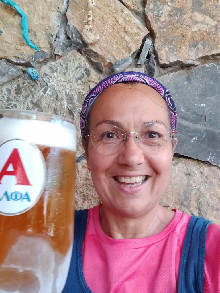 I have reached the end – the “winners” beer in village Agia Roumeli
After I had settled, I paid some attention to the restaurant as well and soon my lunch also came – some local fish. Although they did not appear as anything special, they were in fact one of the tastiest fish I ate while on Crete. Yet, I have no idea what their name is.
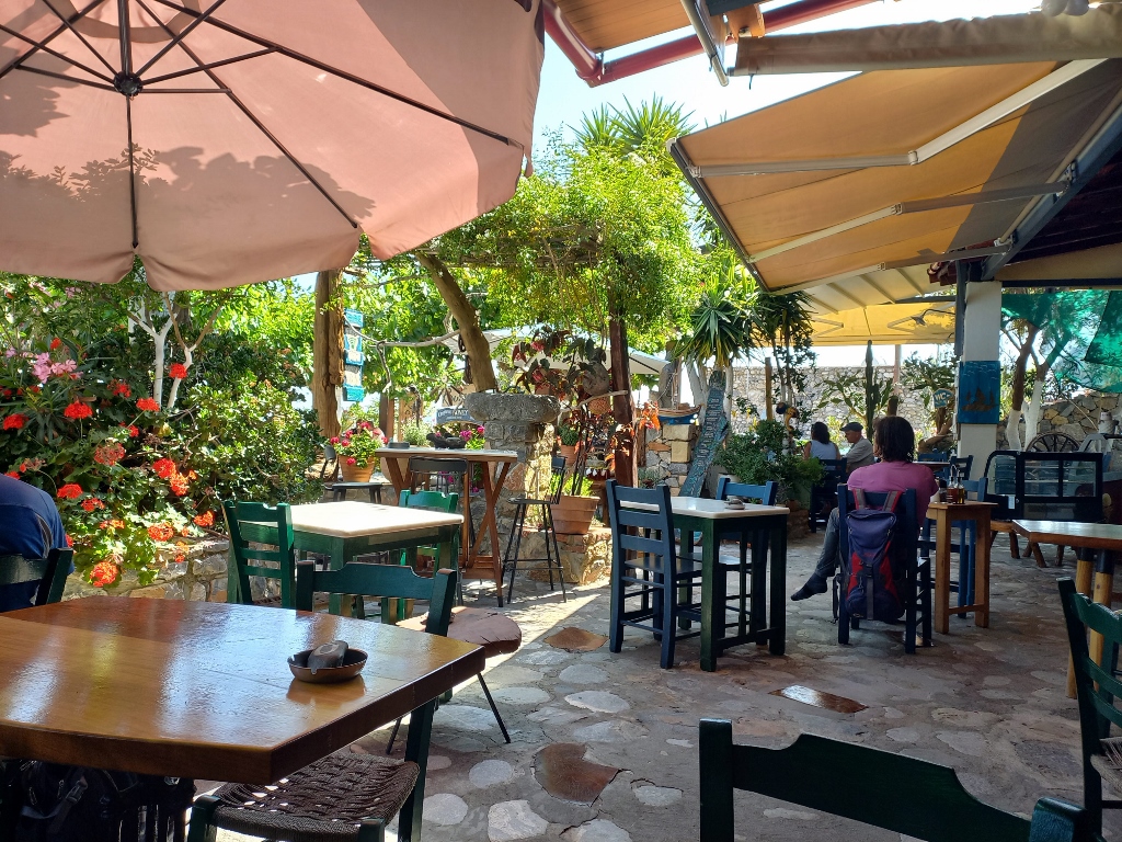 Restaurant in village Agia Roumeli
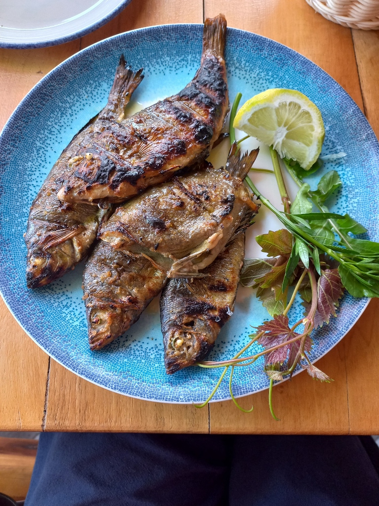 Lunch in village Agia Roumeli
At some point, we all moved to the port where we waited for the ferry to transport us to the place where the coaches were waiting for us.
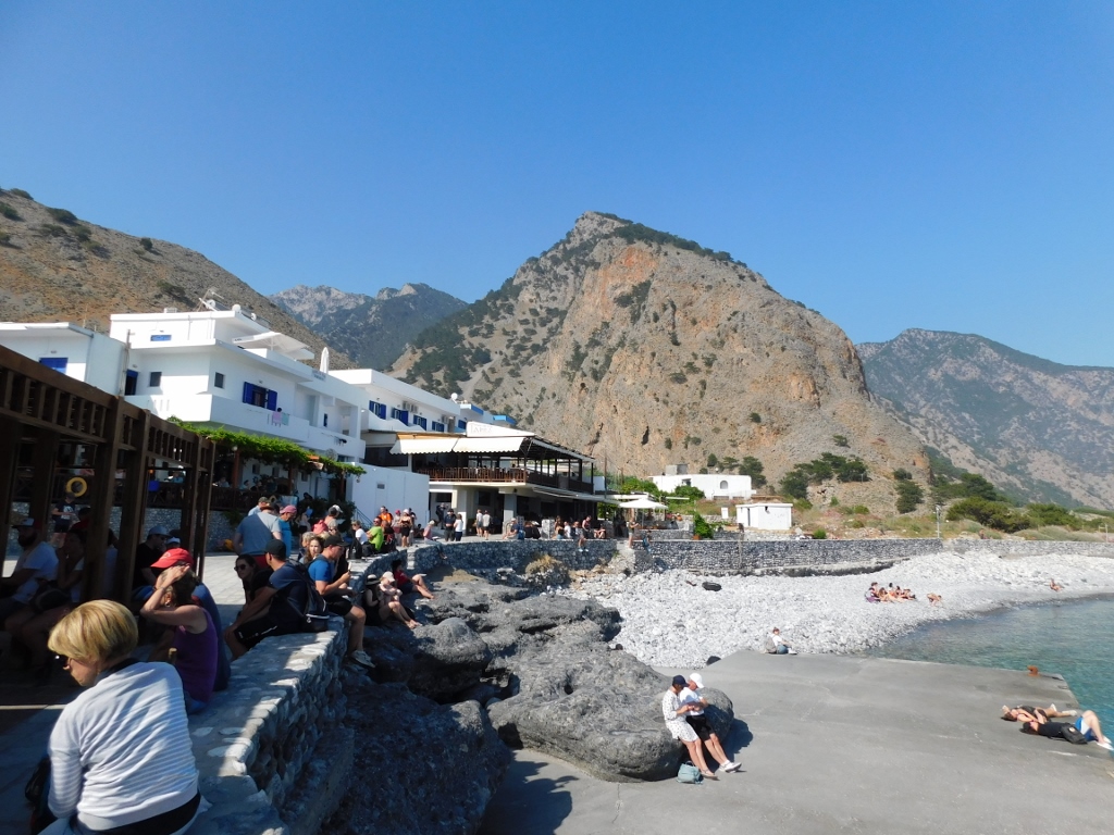 Shore in village Agia Roumeli
While I was waiting here, I could not help but admire the wonderfully clear waters. Although it is often suggested that one can have a dip after finishing the passage through the gorge, I was not sure I would actually enjoy it. I was still hot and I’m sure that the water was still far to cold for my liking. It was May after all.
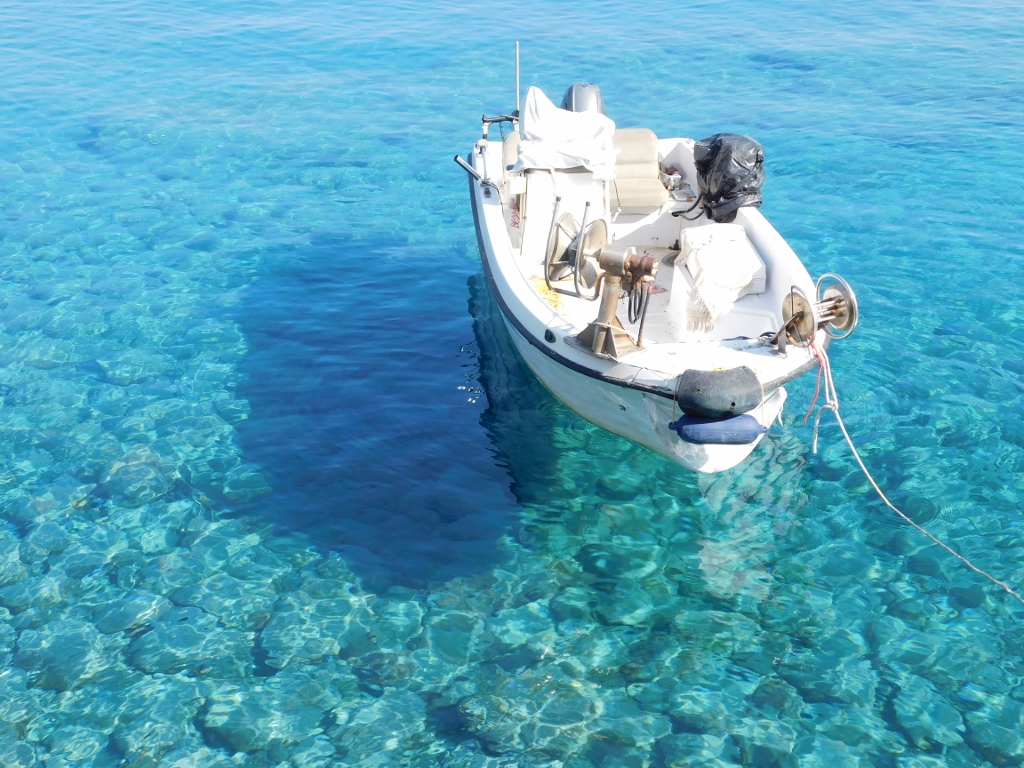 Clear waters in village Agia Roumeli
Soon the ferry came, we all boarded and so we set off. Here is a photo of the coast in village Agia Roumeli, followed by a video showing some parts of my passage through the gorge.
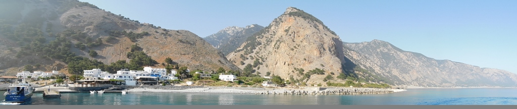 Village Agia Roumeli with small sections of the Samaria Gorge in the background
The ferry ride certainly felt good and we sailed by some beautiful landscapes that are characteristic of the southwest coast of Crete that lines the Libyan Sea.
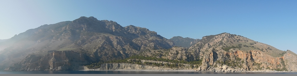 Libyan Sea coast
Still, I was glad when I reached the coach and after a little more than an hour and a half I was back in Chania. Still absolutely delighted and full of images of the beauty I was surrounded with the whole day, on my way to the flat I had rented I took a seat by the Old Venetian Port of Chania and had another cocktail. It was yet another perfect day.
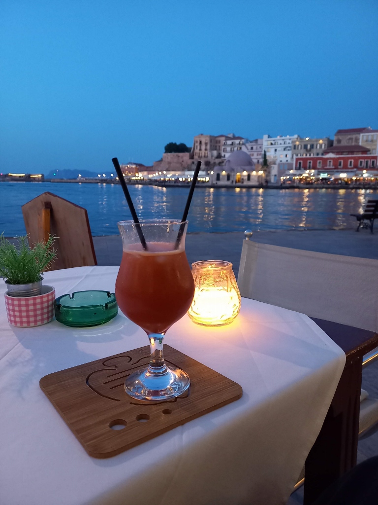 Cocktail in Chania