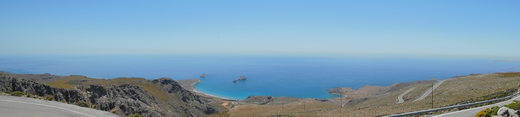
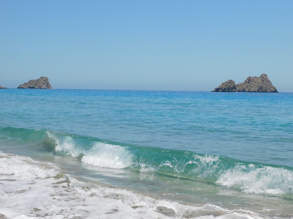
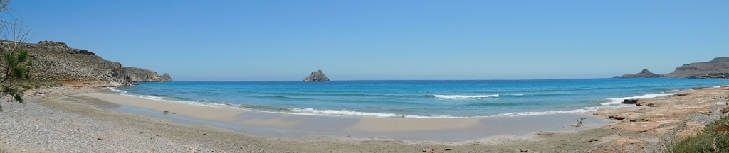
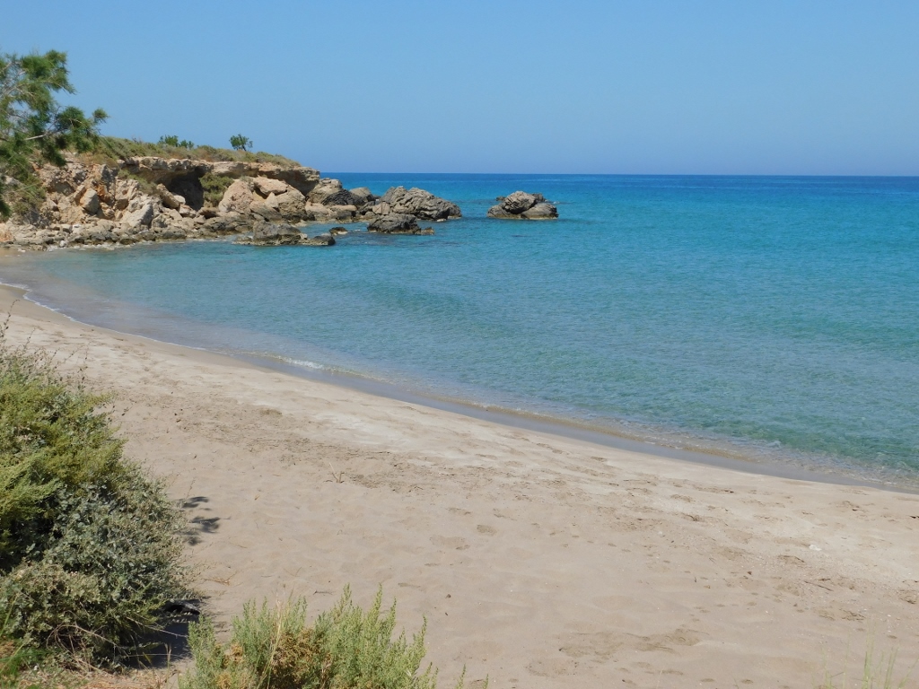
Around half an hour after leaving the lovely town of Ano Viannos in the south of Crete I reached the shore and this happened in the place called Myrtos.
To be more precise, I booked a hotel a couple of kilometres farther from Myrtos, so I first drove past the town in order to get to the hotel and leave my things there, and then I returned to Myrtos. I parked the car and soon got down to the beach.
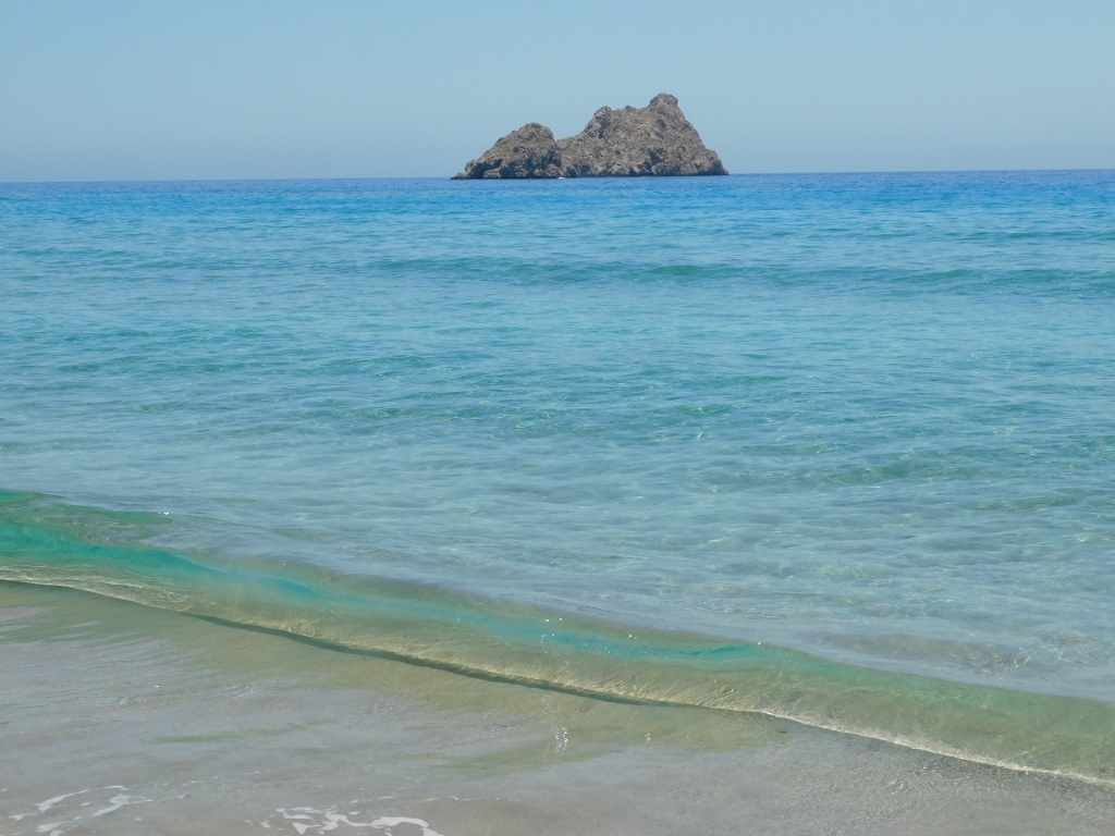
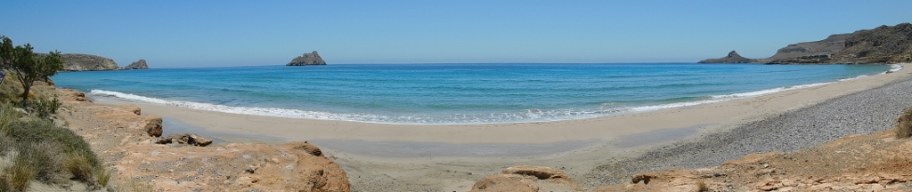
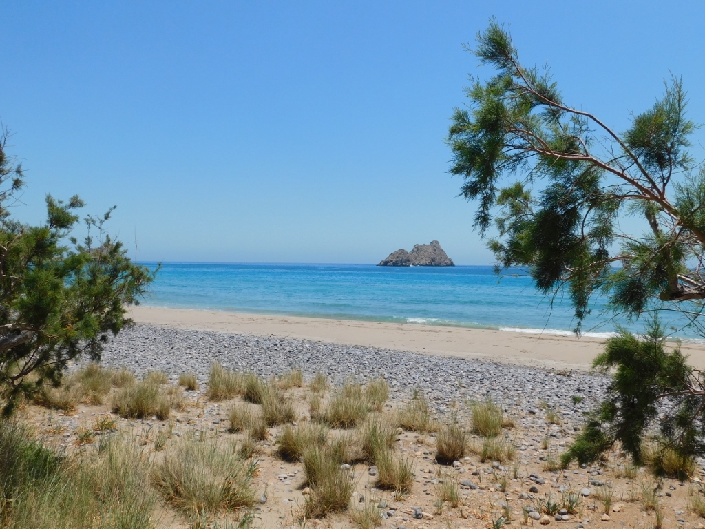
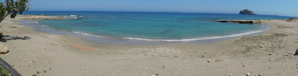
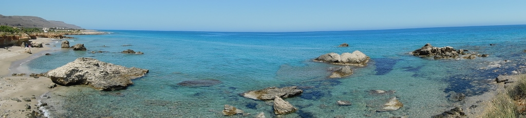
 Myrtos beach
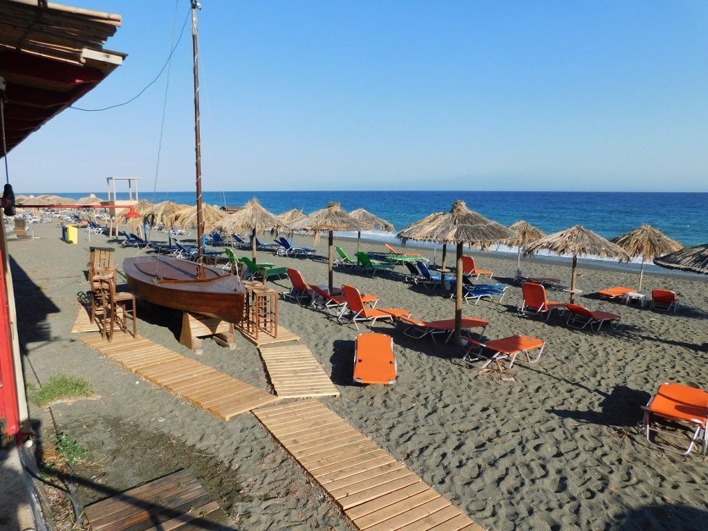
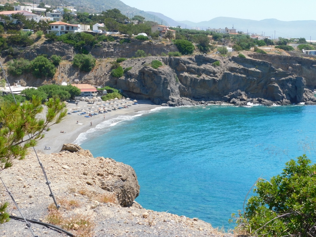
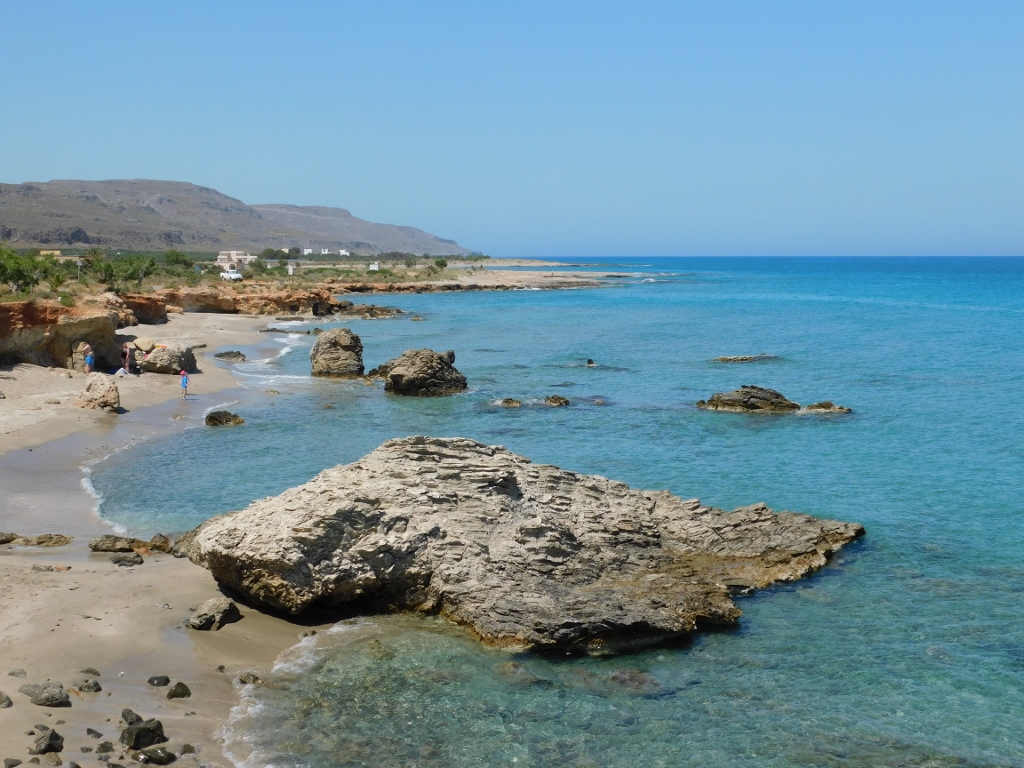
Myrtos is situated on the shores of the Libyan Sea and although this area was settled already during the Minoan Age (there are a couple of archaeological sites in the vicinity), the village itself was formed only in the first half of the 20th century. Nowadays, everything here is mostly dedicated to tourism, primarily thanks to a long beach that consists of a mixture of sand and pebbles.
 Myrtos beach
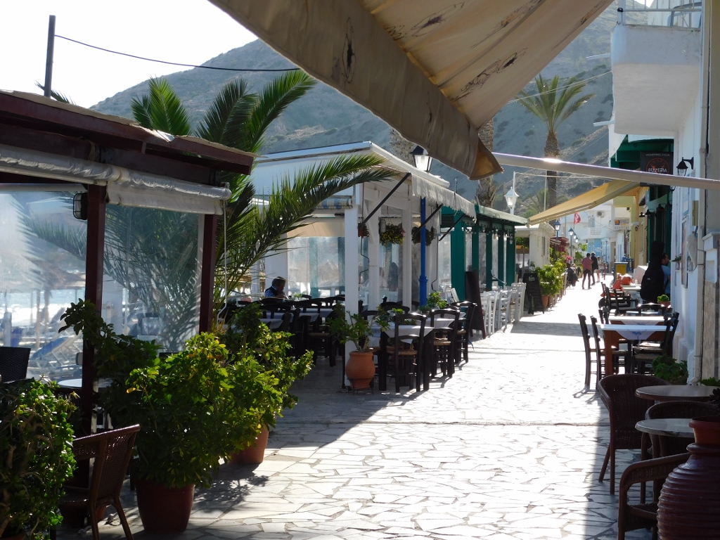
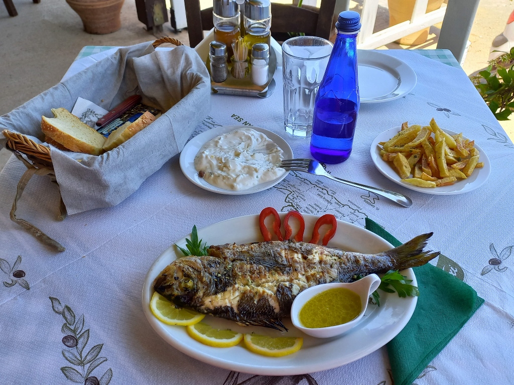
During summers, the temperatures are higher here than in the north of Crete, so I am sure that tourists love to come to this area. Because of this, there is a large number of restaurants and cafés, and soon enough I took a seat in one of them.
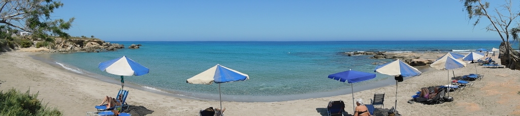
 Restaurants and cafés near Myrtos beach
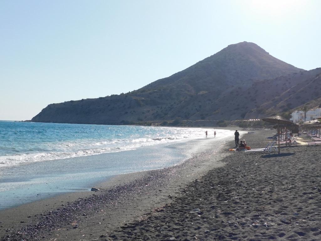
 Coffee in Myrtos
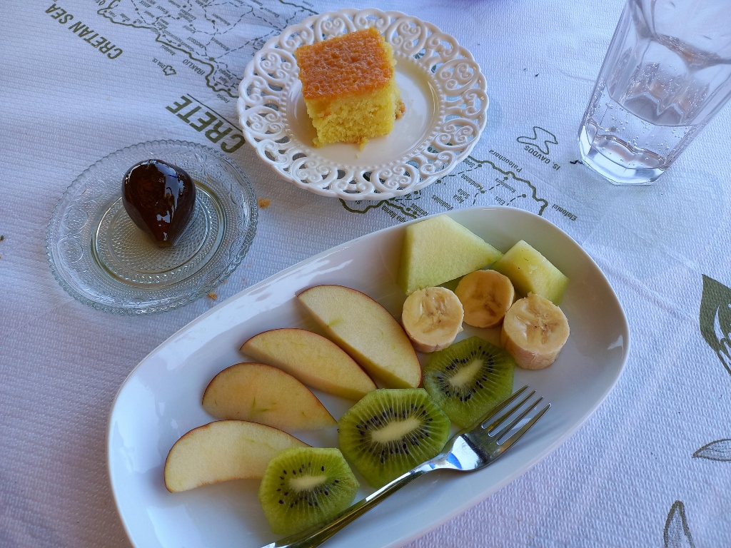
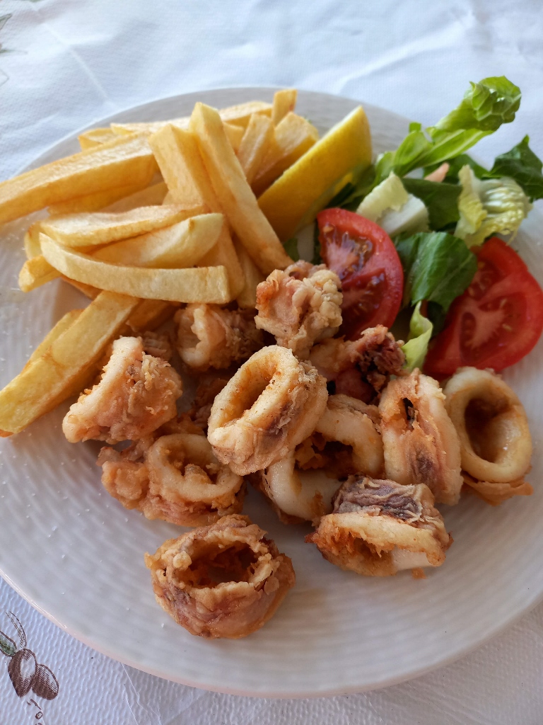 Light dinner in Myrtos
After the fine “interim relaxing” beside the beach in Myrtos, I returned by car to the hotel and it was only then that I could completely relax and have a nice and cold local beer on the balcony of my hotel room.
Bearing in mind that I had a studio (a room with a kitchenette) and a beautiful balcony while in Myrtos, after the good night’s sleep I made myself a coffee (I had all the ingredients necessary) and enjoying the sounds of the waves (with a sporadic sound of cars passing between the hotel and the shore), I could not help myself and had to send a photo to a few friends. It was a Monday morning, most of them were getting ready to go to work, while I was getting ready to take a coffee beside palm trees and the sea in the background, so I had to apologise for potential impertinence.
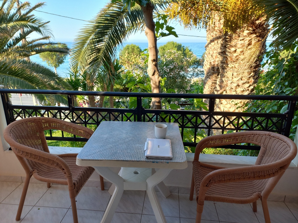 Everything is ready for enjoying coffee
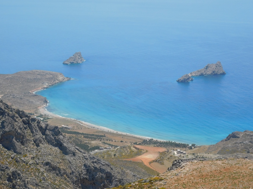
Before leaving the hotel, I climbed up to the roof in order to have a better view at the surroundings.
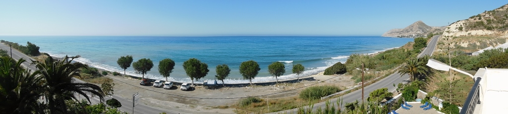 View at the shore of the Libyan Sea from the roof of a hotel near Myrtos
The previous night I got some new ideas about the organisation of this day, so I started with the implementation of those. First I drove to Ierapetra in order to make a short break there and have a breakfast.
Here is again the map that shows all the places I visited during this journey:
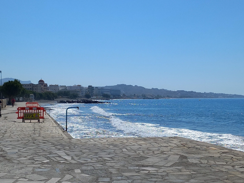
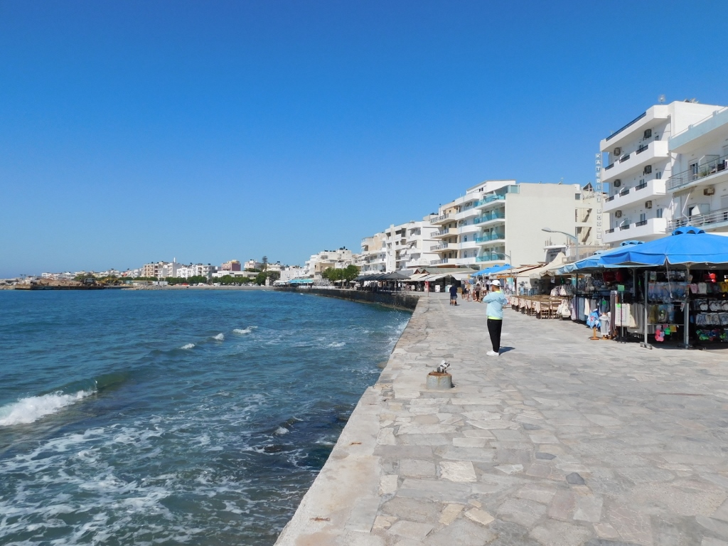
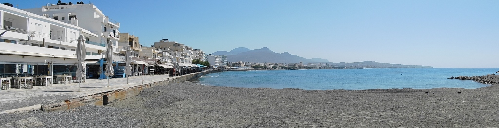
Ierapetra is the biggest town on the south coast of Crete and at the same time it is the most southern town in Europe. It spreads along the shore of a wide bay and a lot of activities in the town are linked to the trading of agricultural crops that are grown in the southeast of Crete throughout the year, many of them in greenhouses.
But, Ierapetra is also a popular summer destination thanks to its long sand beach that can be discerned in the following photo after the paved section of the coast. The beach is a couple of kilometres long and it is formally divided into several parts each one of which has its own name.
 Ierapetra
My walk took me in the opposite direction, towards the west and the port.
 Ierapetra
As it may be seen, along the paved promenade there is a whole line of cafés and restaurants that extends even when one comes across yet another, smaller beach.
 Ierapetra
In other words, Ierapetra is an excellent place for those who would like to go to different beaches in the town and its surroundings, with some of them being spectacular. It is also possible to go for walks through several gorges that are not far from here. I did not plan to do any of that, choosing rather just to make a stop for a relatively brief, but certainly very leisurely walk.
 Ierapetra
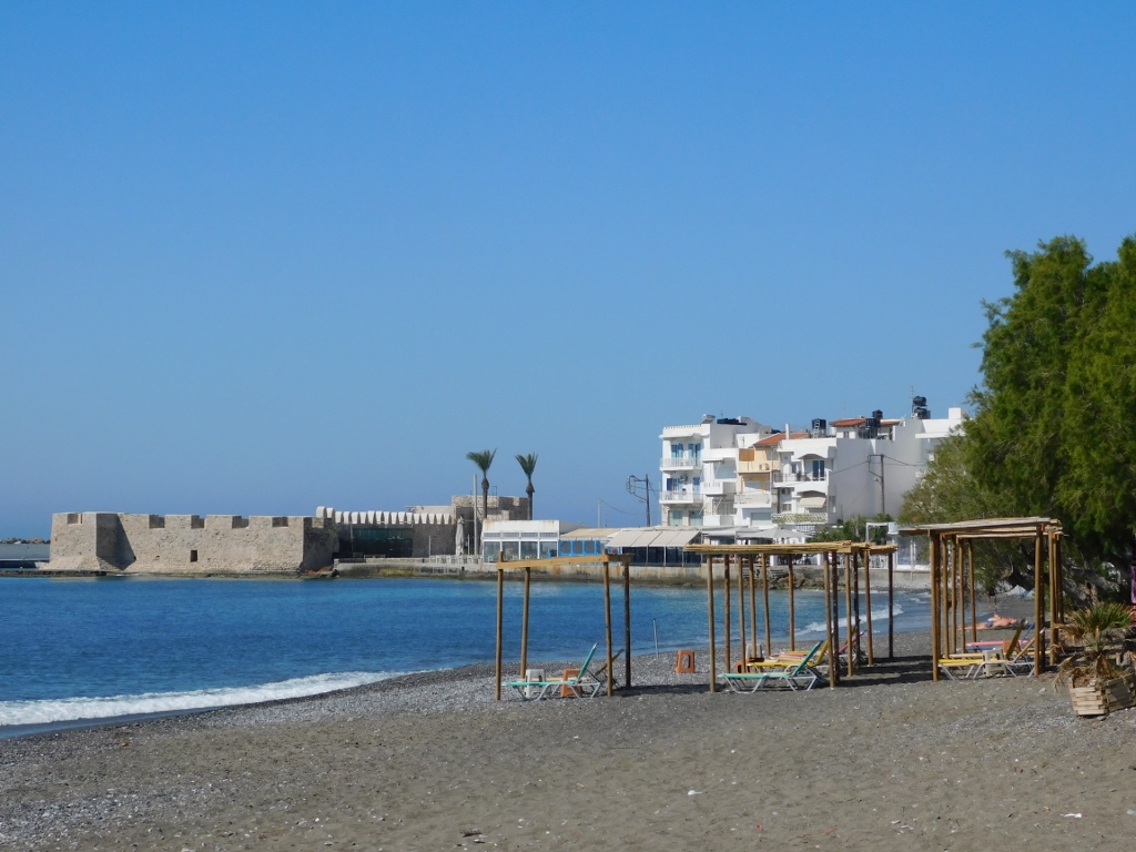
At the end of this beach beside which I walked and at the entrance into the port, it is possible to see the Venetian Fortress Kales from the 13th century. The port is not big and it mostly serves fishing and tourist boats.
There is still a house in the town in which Napoleon stayed in 1798 after a battle in Egypt and the visitor can also see remains of the Ottoman rule in the shape of a former mosque and a drinking fountain.
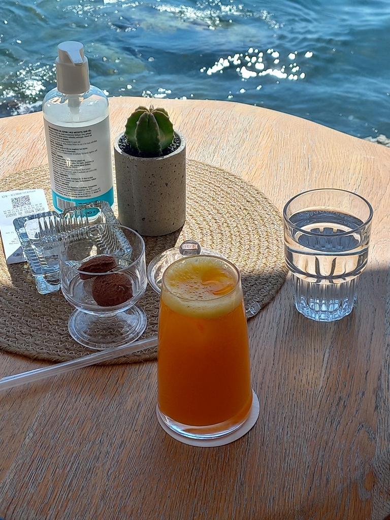
Again, I planned none of this and I did not see any of those sites but I did take a seat in a café by the sea. I gave up breakfast, since I did not feel hungry, but I enjoyed a freshly squeezed juice and an ice-cream that followed.
 Part of enjoying in Ierapetra
After a while I slowly returned to the place where I had left the car and along the way, once again, I took a photo of the wide bay where Ierapetra is located.
 Ierapetra
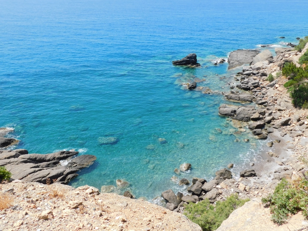
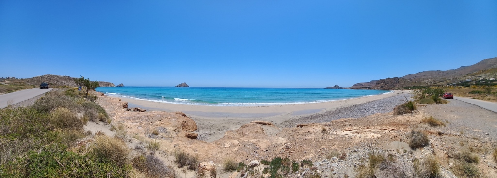
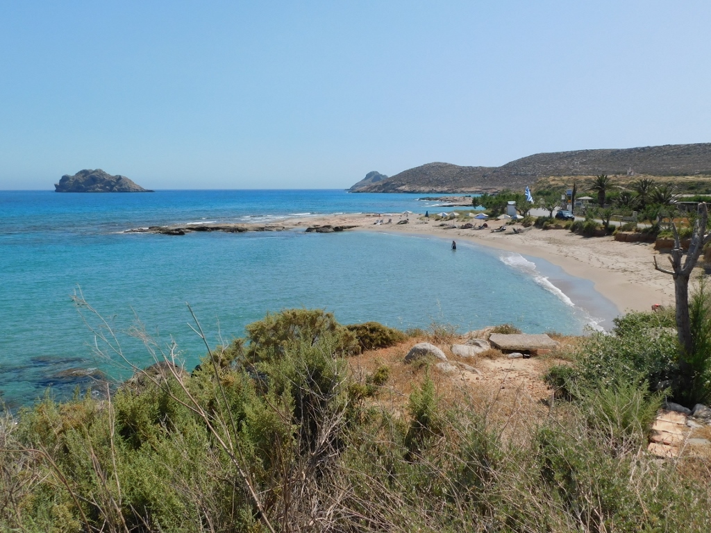
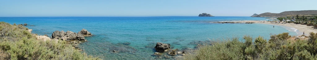
Having continued with the drive in the eastbound direction, every now and then I could notice different coves and beaches, and it all appeared exceptionally beautiful. But, I had to be attentive to my driving, so I would just briefly glance and then continue to be focused on the situation on the road. Still, at some point I noticed a clearing by the road in time and so I stopped there. As it turned out, there was a very nice viewpoint, some 17 km east of Ierapetra, and I could admire the picturesque Achlia Beach from there.
 Achlia Beach
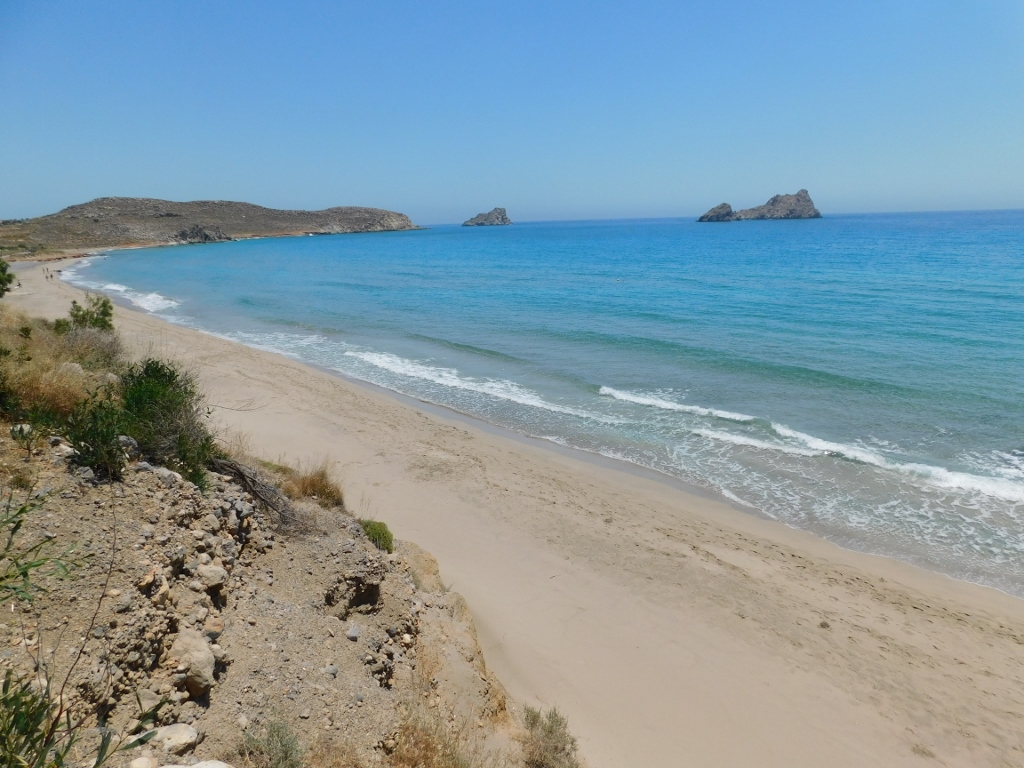
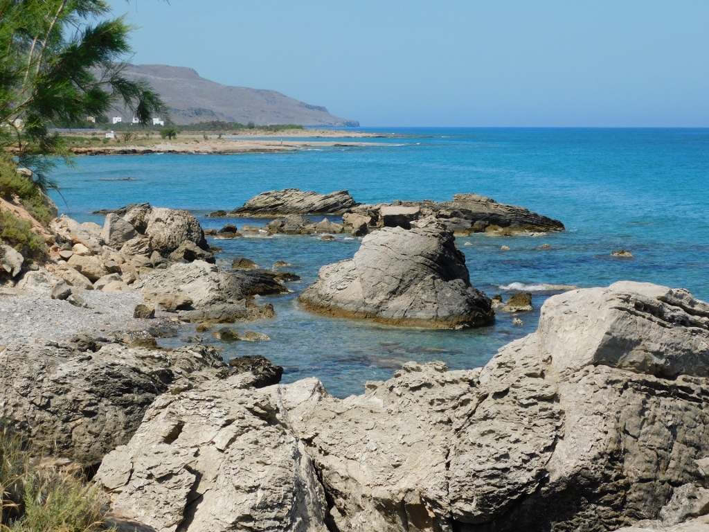
On the other side of the small promontory on which the viewpoint was made, there is a lovely cove. The water was clear and its colours were exceptionally tempting.
 Cove in the direct proximity of Achlia Beach
I continued driving parallel to the coast for a while yet and then the road headed inland in the northeast direction and slightly uphill, after which it slowly descended towards the far southeast part of Crete. Again I made a stop at a suitable place in order to take a photo of the area I had just driven through, but I also noticed a small butterfly on the spot. This was a cardinal (Argynnis pandora).
 Southeast Crete
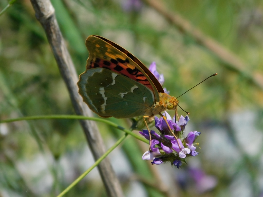 The cardinal
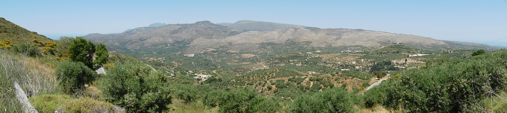
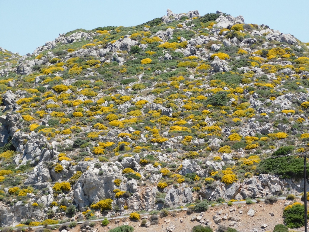
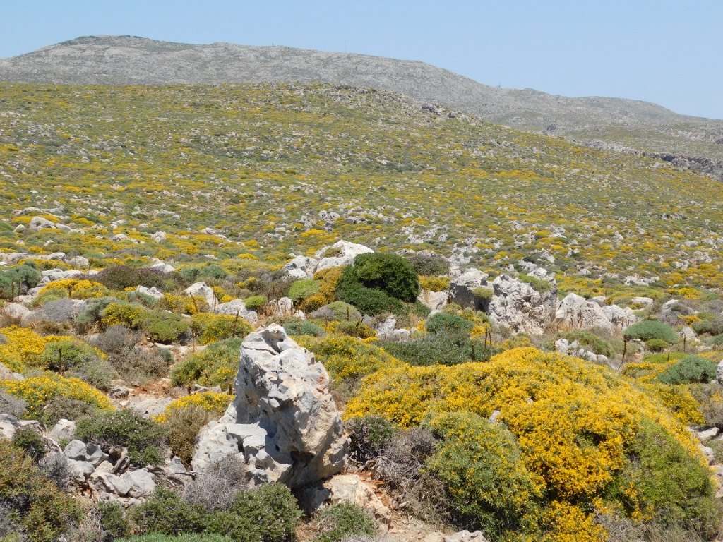
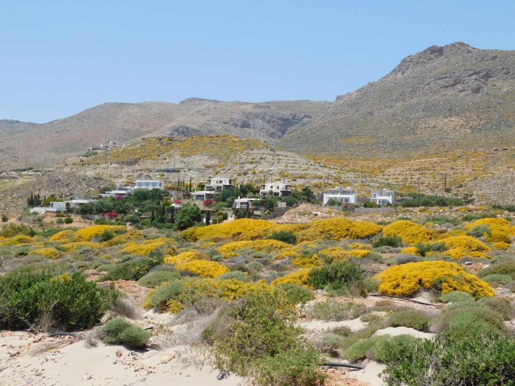
At some point, the road passes through village Ziros and in fact this whole area is a plateau at around 650-700 m a.s.l. After Ziros, with the exception of a village left of the road, there were no more settlements until the far southeast “corner” of Crete. No wonder since the road leads through a very rocky area where only some low Mediterranean shrubs grow. Still, the day was sunny and pleasantly warm, the winding road was in a very good state and practically I almost did not encounter any other vehicle. I enjoyed the drive as the road ascended very mildly across the plateau and every now and then I would stop and briefly take photos of the surroundings.
 Southeast Crete
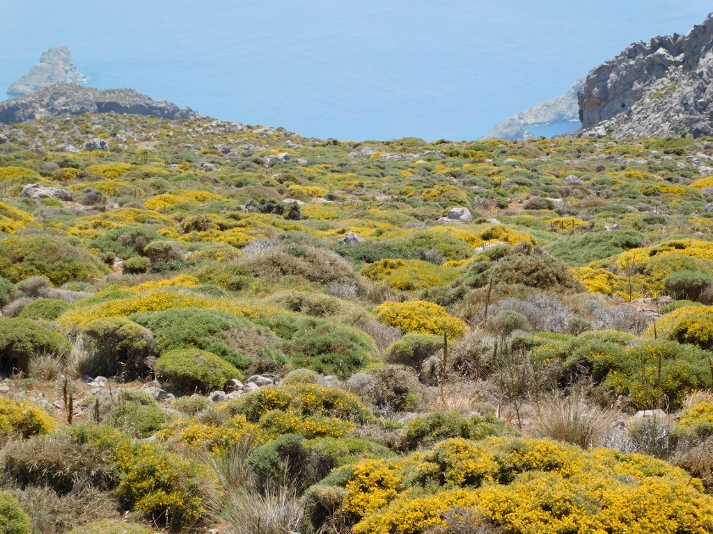
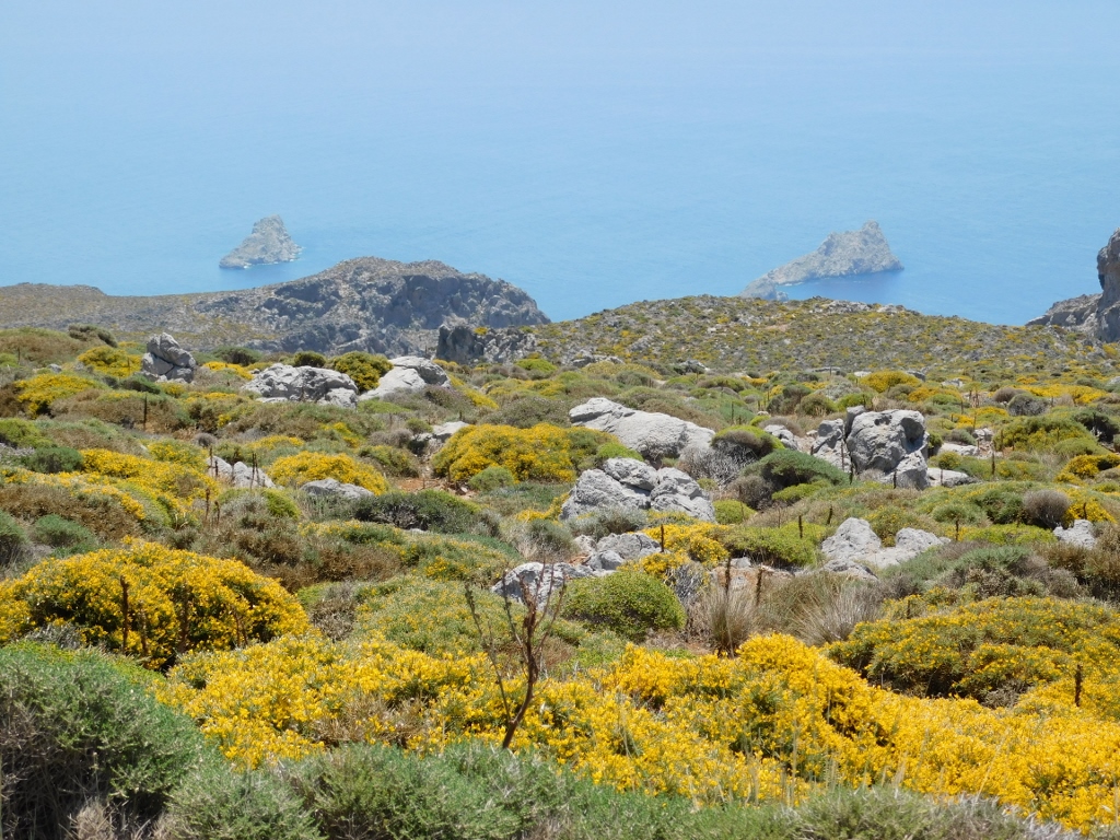
I was on Crete in May and it was obvious that some shrubs that have numerous yellow flowers were blossoming at the time and this created some very beautiful sights. And then I got to a section from where the road started to descend towards the southeast of the island and the sea appeared. The blueness of the sea, combined with the yellow blossoms and the green bushes with no flowers seemed absolutely enchanting to me. As I’ve said, I barely came across anybody here and that allowed me to stop occasionally, open the window and with my eyes wide open soak in the beauty of the surrounding nature.
 Southeast Crete
 Southeast Crete
 Southeast Crete
It needs to be said that the road seemed completely new and it is possible to conclude from my photos that everything was quite visible and the descent was mild, but the road is not very wide and if there had been other cars, it would not have been suitable to stop frequently. There is a place by the road where a viewpoint has been made, but if it were up to me, there would be many more of them in this place, while at the same time I’m certain that the beauty of the place would be ruined in this way. In other words, it is perfect such as it is.
Although even the view uphill was equally majestic, I was still mostly drawn to look down and towards the sea.
 Southeast Crete
 Southeast Crete
 Southeast Crete
I was on my way to a small settlement of Xerokampos that mostly consists of houses for the accommodation for tourists and taverns. This settlement is famous for its beach and it has in fact a whole sequence of beaches (I realised this only later). On one side of a promontory (to the left in the previous photo) there is a long sandy beach, Mazida Ammos Beach, and I went there first. On the other side of the promontory there is the major part of the “settlement,” as well as several smaller sandy beaches that are separated by natural rocky sections.
So, the Mazida Ammos Beach...
 Xerokampos, Mazida Ammos Beach
The beach is around 700 m long and there is a road passing along its entire length. I parked the car in the shade of a tree that I could barely find and then I walked by the beach and on it.
 Xerokampos, Mazida Ammos Beach
As it can be seen from the following photos, the water was perfectly clean and clear, but in my mind it was still far too cold, so despite the temptation I was exposed to, I resisted and did not have a swim.
 Xerokampos, Mazida Ammos Beach
 Xerokampos, Mazida Ammos Beach
 Xerokampos, Mazida Ammos Beach
 Xerokampos, Mazida Ammos Beach
The Mazida Ammos Beach is naturally divided, by low rocks, like rock slabs, into a longer and a shorter segment. These rocks can be seen in the photo below on the right-hand side, while the rest of the photograph shows that smaller, east section of the beach.
 Xerokampos, Mazida Ammos Beach
Close to the beach, but more uphill, there are only villas that are intended for tourists.
 Xerokampos, Mazida Ammos Beach
After this walk I realised I was quite hungry and then I decided to go for lunch right here in Xerokampos. When you leave the Mazida Ammos Beach, the main road goes in the northeast direction and parallel to the coast, but at a distance of around 400-500 m.
Soon I chose a tavern that had its own parking lot and there I found a nice spot on the terrace. It was rather hot and the shade felt good, so this was the main criterion for selecting a table. It was certainly not crowded.
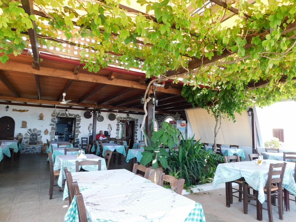 Xerokampos, tavern where I had my lunch
From there, over oleanders and olive trees, I also had a view at the sea.
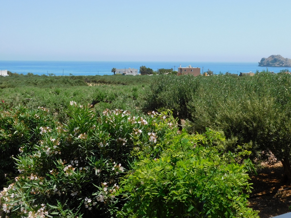 Xerokampos, view from the tavern where I had my lunch
 Xerokampos, the lunch
 Xerokampos, the dessert
Xerokampos had been recommended to me by the owner of the hotel in Rethimno a couple of days before and he said then that in his opinion this was the most beautiful beach on Crete. Since I had already made a stop at the Mazida Ammos Beach, I thought this was all.
And so, when I finished my lunch, I first thought to continue directly to my final destination for the day that was only a dozen kilometres farther, but I had a very special plan for that place. Luckily, I thought that after all I might drive by the shore which, owing to the flat terrain and the olive groves that fill up the space, I could not see clearly from the tavern’s terrace.
What a genius change of the original plan that was! Namely, it was only then that I realised that there were these small, sandy beaches in Xerokampos naturally arranged in a row. Each one of them has its name, but these names are not so important now, for this entire part of the coast is exceptionally beautiful and picturesque.
 East coast in Xerokampos
 East coast in Xerokampos
 East coast in Xerokampos
 East coast in Xerokampos
 East coast in Xerokampos
 East coast in Xerokampos
 East coast in Xerokampos
 East coast in Xerokampos
As I stopped the car in several places, getting out and taking photos, I was absolutely delighted that I got here at all, to this fabulous place, since the materials I used did not mention Xerokampos at all. My only concern about the place is that it is probably quite difficult being here during summer since there is no natural shade by the beach, but I still concluded that the owner of the Rethimno hotel who “discovered” Xerokampos for me was wrong after all. This was not the place with the most beautiful beach on Crete – this was the place with the most beautiful beaches on the island. Several of them and yet practically one next to the other.
Now I finally drove to Zakros and here I took advantage of the Greek language lesson that I had had the previous day when I learned that “ano” means upper and “kato” means lower. So, here in the southeast of Crete, there are Ano Zakros and Kato Zakros. If one types just Zakros, the internet shows links to the so-called settlement on the shore, i.e., Kato Zakros, while I was actually going to Ato Zakros where I had booked a room.
There is logic as to why Kato Zakros is more popular on the internet. In the direct proximity of, I have to say, a group of houses that are mostly used for tourists (the settlement is even smaller than the one of Xerokampos), there is a very important archaeological site. There used to be a Minoan palace and settlement of Zakros.
I had an intention to visit all of this, but it was very important for me to be stationed uphill, in the proper village, and that is Ano Zakros. The reason did not lie in the size of the settlement, but was rather linked to the excursion I planned to have already this very afternoon. But, to start with, I drove to the centre of the village and the hotel in which I had booked that room.
Ano Zakros is not an obvious tourist place and the hotel in which I settled had certainly seen better days, but, as it would turn out, the owners were more than great and I spent a very nice, albeit short time there. The room was full of old furniture, but everything was clean and, in addition to water, I even got a bowl of fresh fruit – and this is provided voluntarily only in the best of hotels. So, there you go.
First I left my things in the room, then changed, took whatever I deemed necessary and went downstairs. There I found the landlady again and asked her which way to go. She gave me quite clear instructions.
Namely, it was time for me to walk again and the plan for this day was to hike through – the Gorge of the Dead.