The following day we were greeted by perfect blue sky and ideal temperature, which we appreciated in particular as we had already planned to spend the day outside.
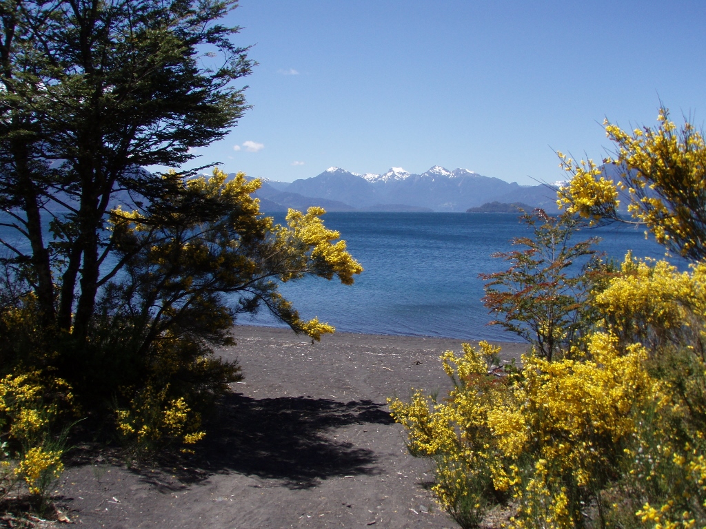
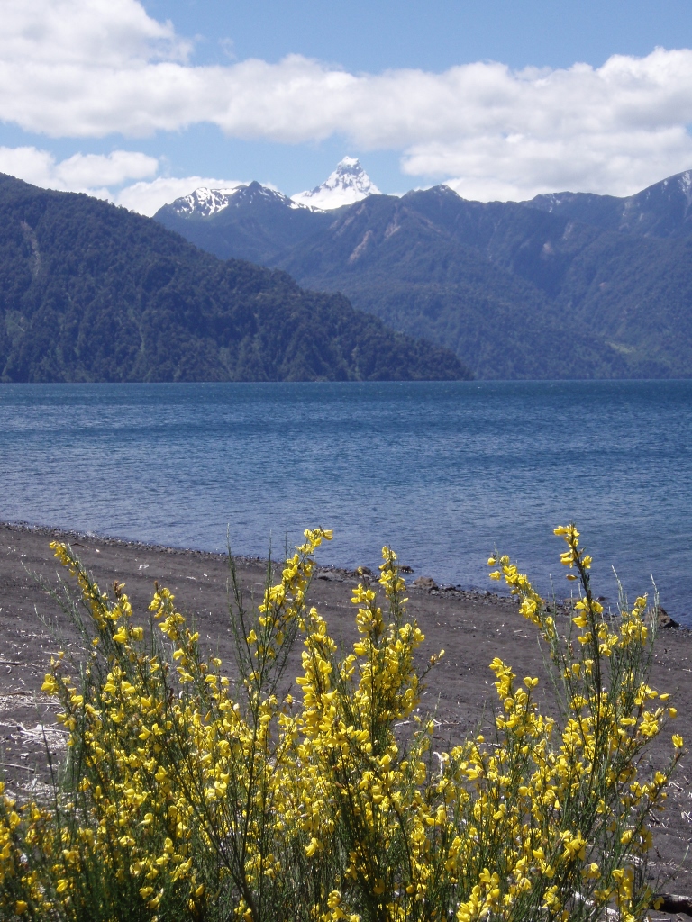
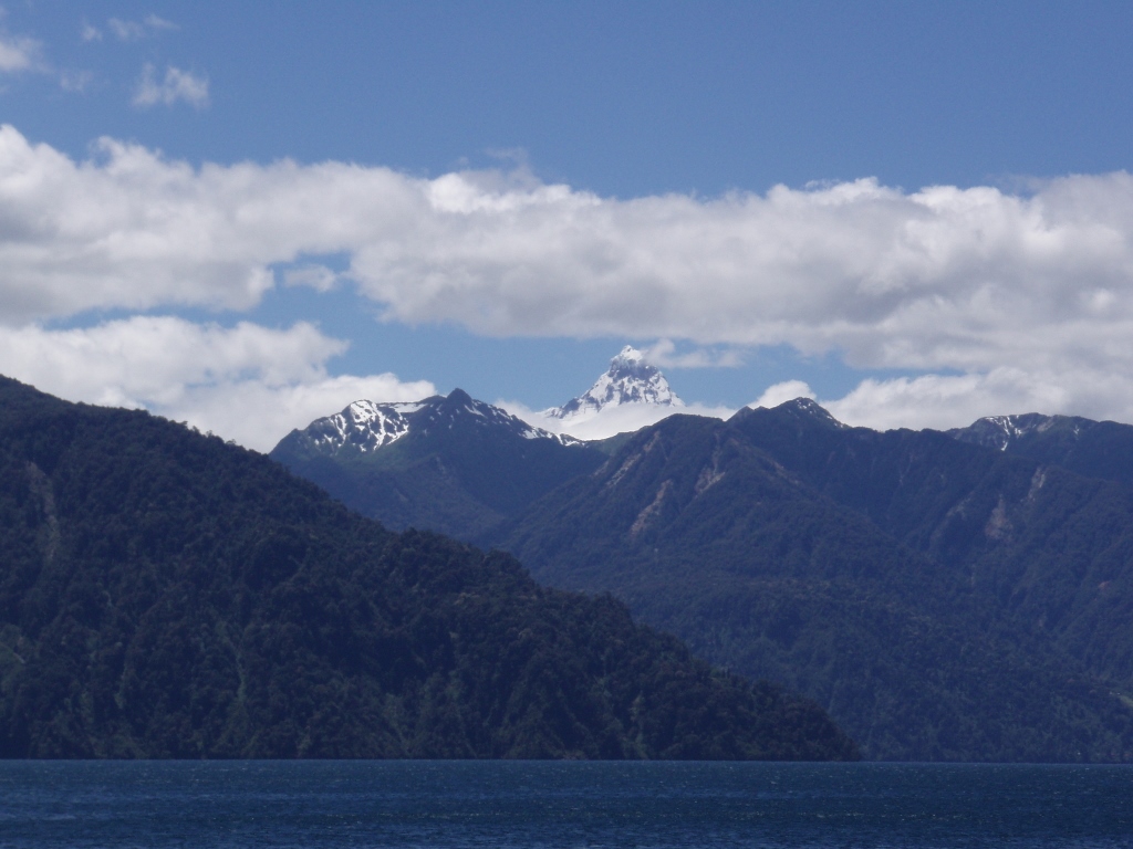
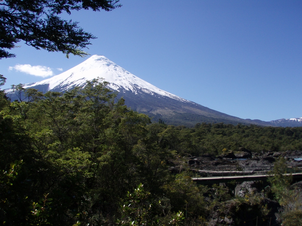
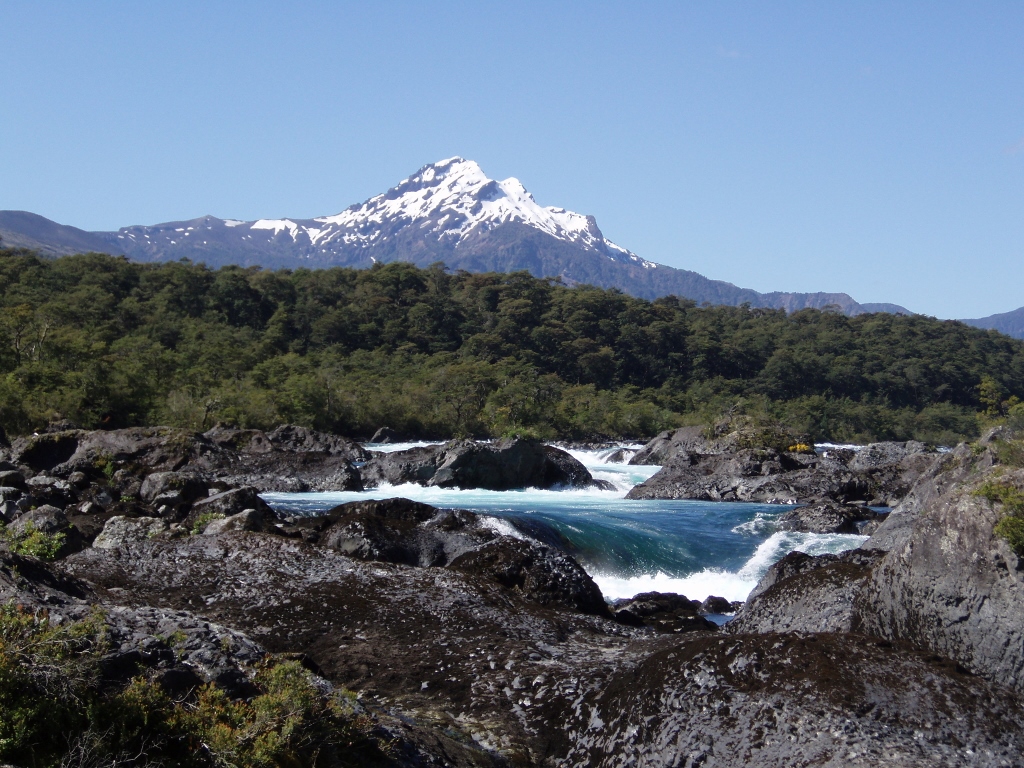
By taking a local bus and driving along the shores of lake Llanquihue, we first went to the place of Ensenada. Along the way we enjoyed the sights of beautiful nature, especially the view at volcano Osorno (2660 m). When we got off the bus, we walked to the lake shore, while the volcano stood there close to us. It was such a simple and yet such a fantastic image that I could hardly bring myself away from the beach and from taking photos.
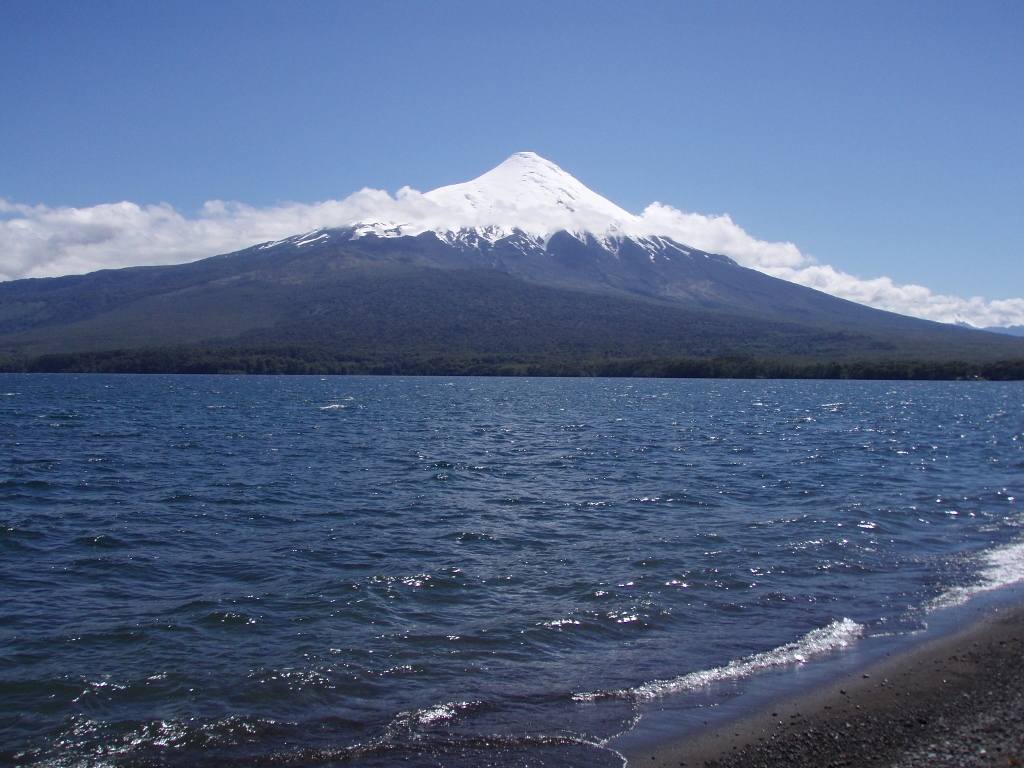 Lake Llanquihue and volcano Osorno
 Lake Llanquihue and volcano Osorno
 Lake Llanquihue and volcano Osorno
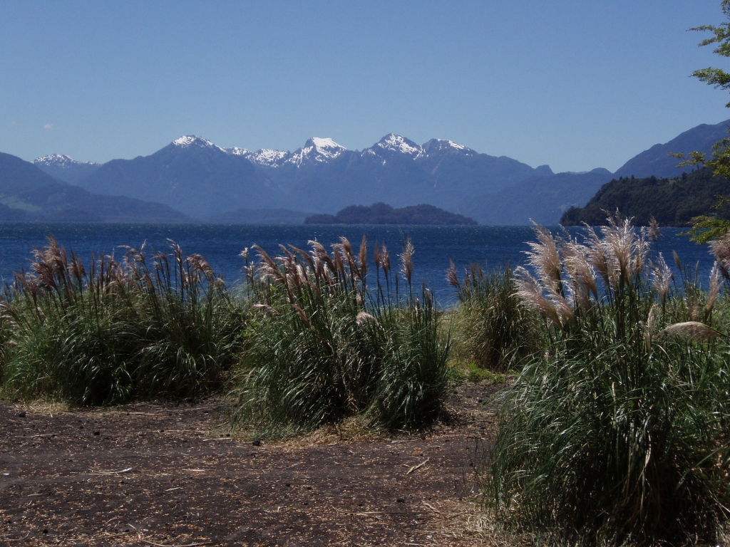
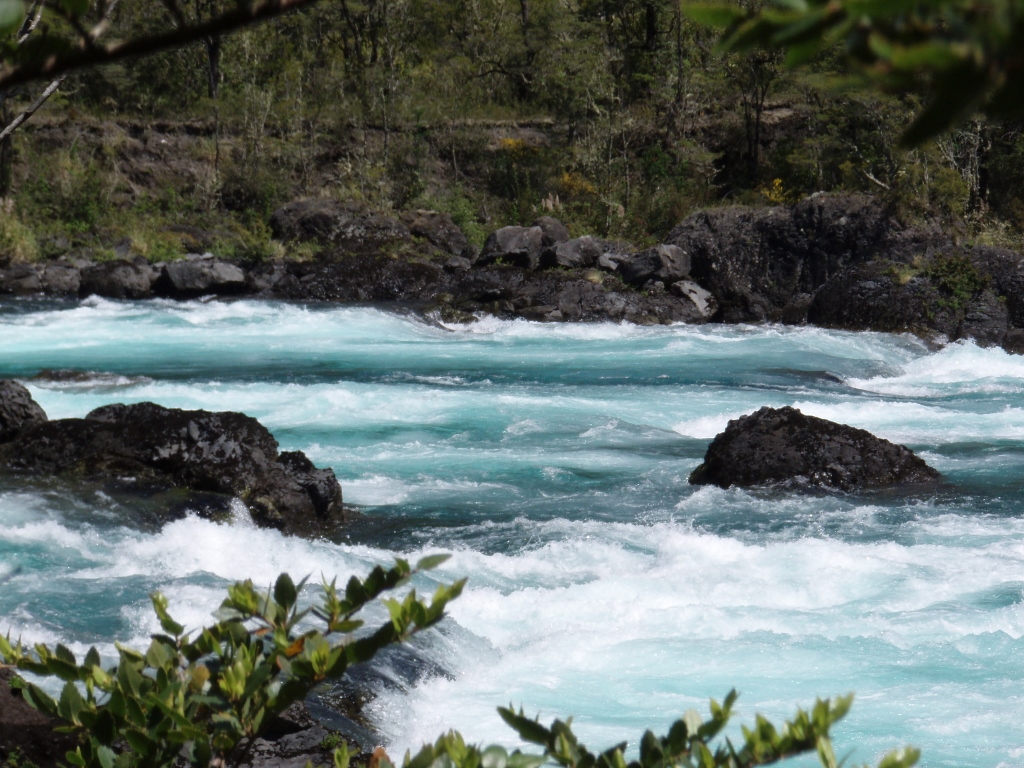
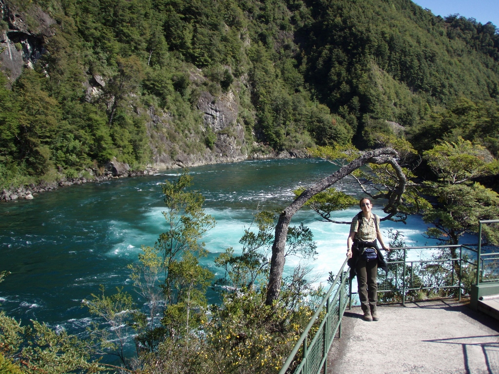
We walked along the beach for a while and then went back to the road where with a lot of luck we soon managed to catch a bus that was going to Petrohue. Petrohue is a point at lake Todos los Santos from which a river of the same name runs out of the lake entering into a nearby Pacific fjord a little later on. In its not too long a course, the river has particularly nice rapids and we decided to cover that section on foot (6 km in total from the lake to the rapids) when we return in order to enjoy the nature in peace. Petrohue is also the place from which one may visit the National Park Vicente Perez Rosales, while using a system of lake and road transportation it is possible to reach Argentina and their own lake district, as this entire region is a mixture of lakes, rivers, hills, mountains and forests. And it is all exceptionally beautiful.
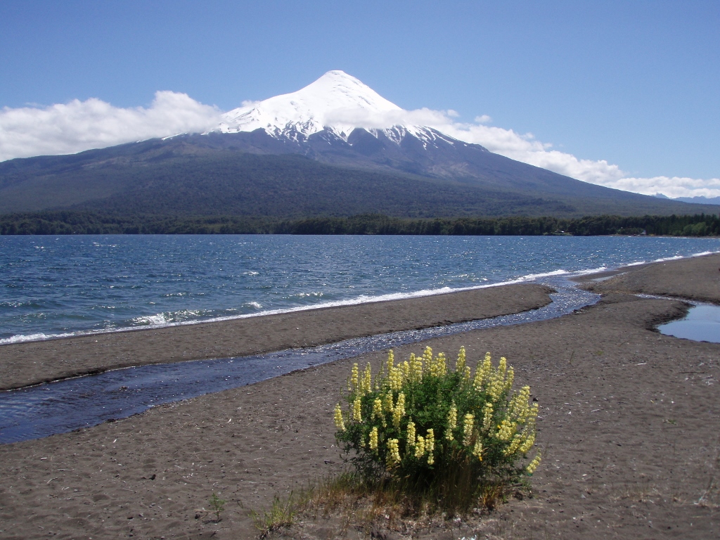
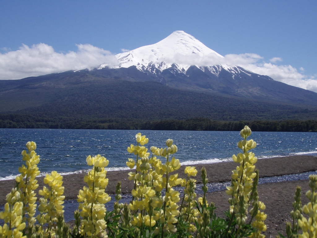
What we did here was to walk around the nature and to a part of the shore around lake Todos los Santos, but we first had to cross a dry section which seemed like a dry riverbed. This in fact was a path of a lava river that cooled down a long time ago and turned into a mixture of volcanic gravel, sand and dust.
 NP Vicente Perez Rosales, volcano Osorno and the “river” of dried lava
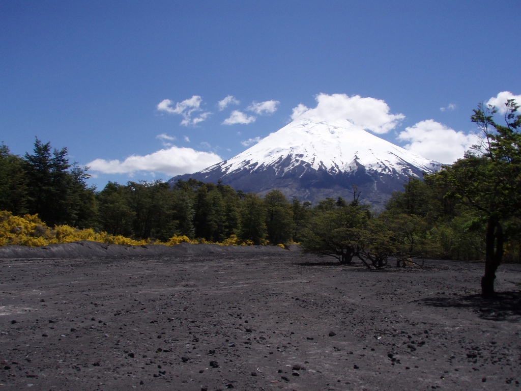
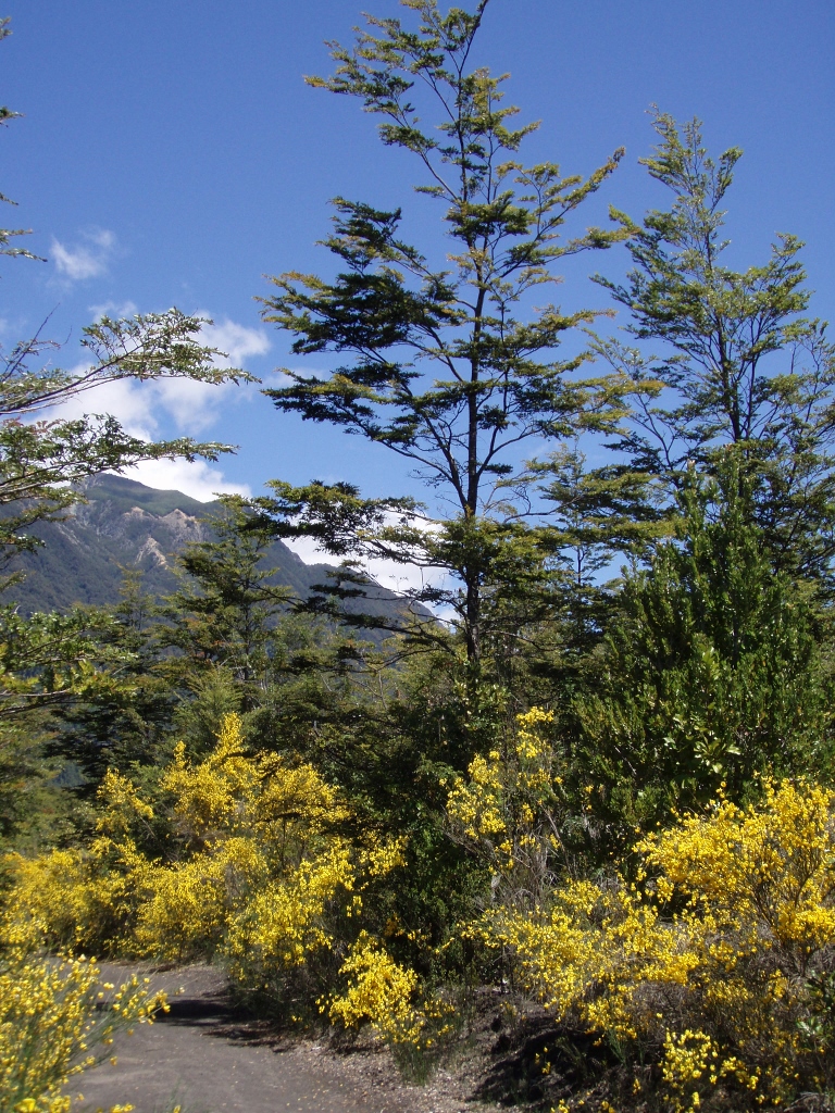
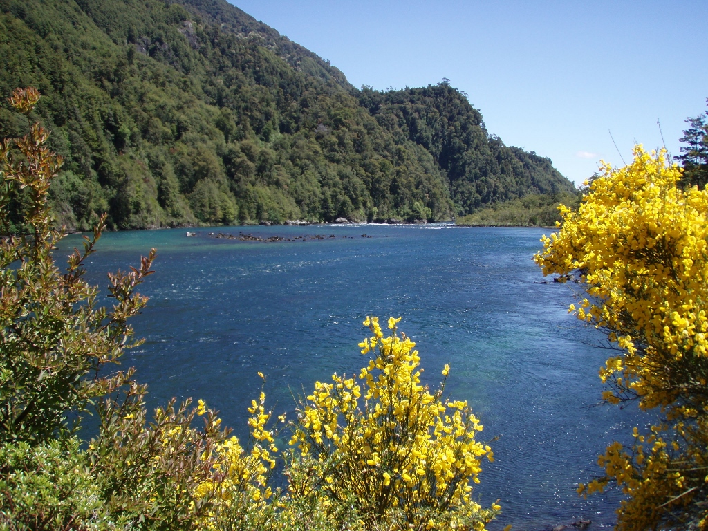
The path first led through a forest and then through a lane of some big bushes that were covered in yellow blossoms and that was yet another of the numerous beautiful images we were surrounded with here.
 NP Vicente Perez Rosales
After a short walk we reached a part of the shore with absolute peace around us and we truly enjoyed the whole experience. Those yellow blossom bushes apparently thrive on volcanic soil, so they were abundant also on the beach and everywhere one looked there was some nice view.
 Vicente Perez Rosales, lake Todos los Santos
 NP Vicente Perez Rosales, lake Todos los Santos and the summit of volcano Puntiagudo
There we saw the summit of volcano Puntiagudo (2490 m), the sight of which also followed us later when we walked along the Petrohue. Other than the yellow blossom bushes, there was also other vegetation growing around the lake.
 NP Vicente Perez Rosales, lake Todos los Santos and island Margarita
On lake Todos los Santos there is also an island, Margarita, which is passed by boats going towards the border with Argentina. For a little while longer we admired the summit of volcano Puntiagudo and then we headed back to the National Park Administration Building from which we had started with our walk to the lake.
 NP Vicente Perez Rosales, lake Todos los Santos and the summit of volcano Puntiagudo
Going back to Petrohue, we followed a different path that led us between very tall and slender trees and their tops resembled a delicate lace separating lower parts from the infinite firmament that extended above them.
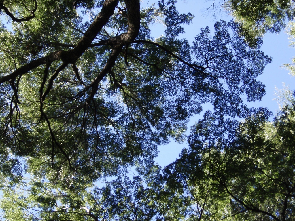 NP Vicente Perez Rosales, treetops and sky
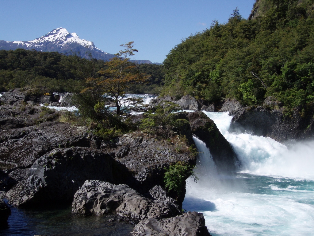
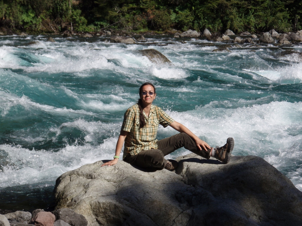
When we returned to the bus stop where we first came, we followed the road back on foot, as planned, following the course of the Petrohue, as 6 km downstream there were these rapids we wanted to see.
 NP Vicente Perez Rosales, the Petrohue river
The road was not paved and it was made of dark grey volcanic soil. At some points, the river was closer to the road and then there would be some distance between the two, but it was also clear that this was no small stream, but rather a small fast river pregnant with water, since it was impressively wide at a couple of places. Both the riverbed and the road led between steep mountains covered by forests and every now and then we could see small waterfalls that additionally fed the river.
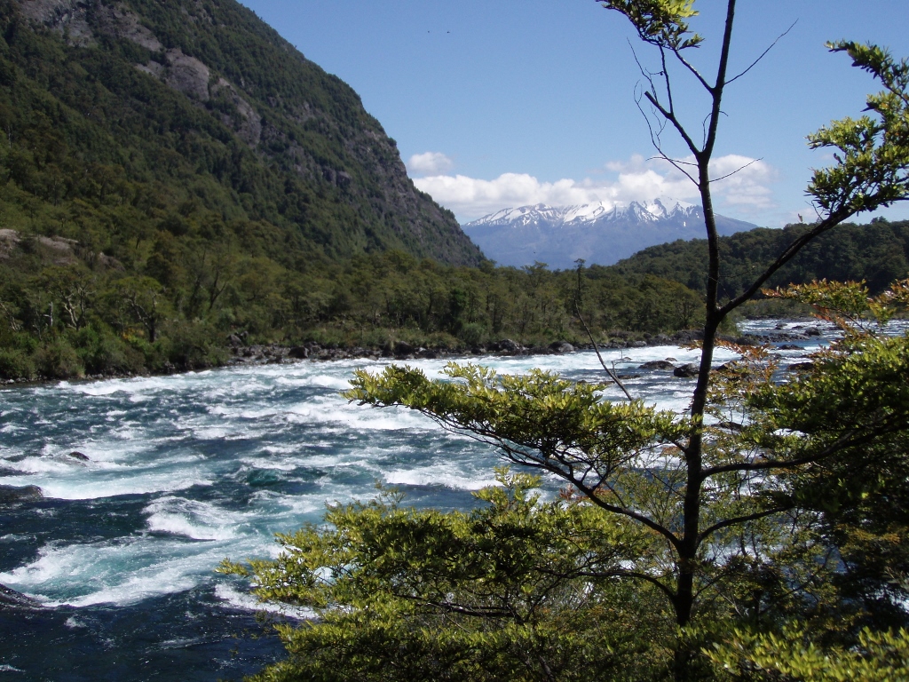 NP Vicente Perez Rosales, the Petrohue river; there is volcano Calbuco in the distance
 NP Vicente Perez Rosales, the Petrohue river
Near the rapids, there is a small parking lot for those who arrive by car, but one does need to walk over a bridge and further along a concrete path that leads to the rapids and over them. There is not much I can say here, I think the photos suffice.
 NP Vicente Perez Rosales, volcano Osorno
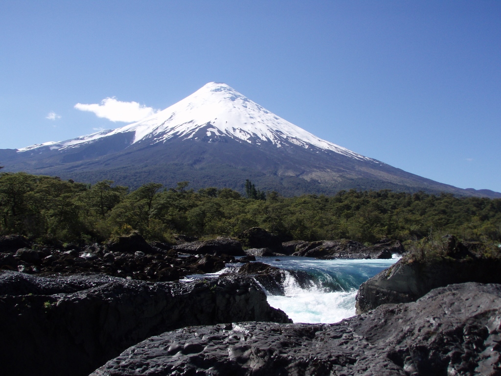 NP Vicente Perez Rosales, volcano Osorno and the Petrohue river rapids
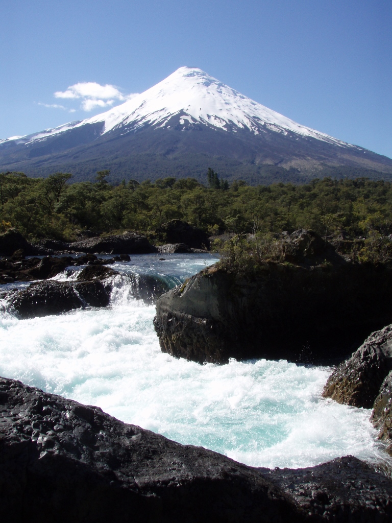 NP Vicente Perez Rosales, volcano Osorno and the Petrohue river rapids
 NP Vicente Perez Rosales, mountain Cerro La Picada and the Petrohue river rapids
 NP Vicente Perez Rosales, mountain Cerro La Picada and the Petrohue river rapids
We really liked this a lot, so we kept taking photos both here and in some other places we passed on our way to Ensenada.
 NP Vicente Perez Rosales, near the Petrohue river rapids
 NP Vicente Perez Rosales, next to the Petrohue river
Although we walked quite a lot, we were very content with the entire day. Having returned to Puerto Varas, we first went for some cakes, with an excellent excuse that we needed a good rest, and after yet another walk, albeit short, we went for proper dinner. I should mention that there is a very nice custom in all the restaurants in Chile that, while you are waiting for the food you have ordered, they bring you a small bowl with finely chopped vegetables called “pebre” (tomatoes, onions, garlic, pepper and coriander leaves, with added spices and lime juice), as well as bread and butter. You take a piece of bread, spread some butter on it and top it all with some pebre. It’s a kind of a starter before a starter and we always enjoyed eating it. Including this evening in Puerto Varas.
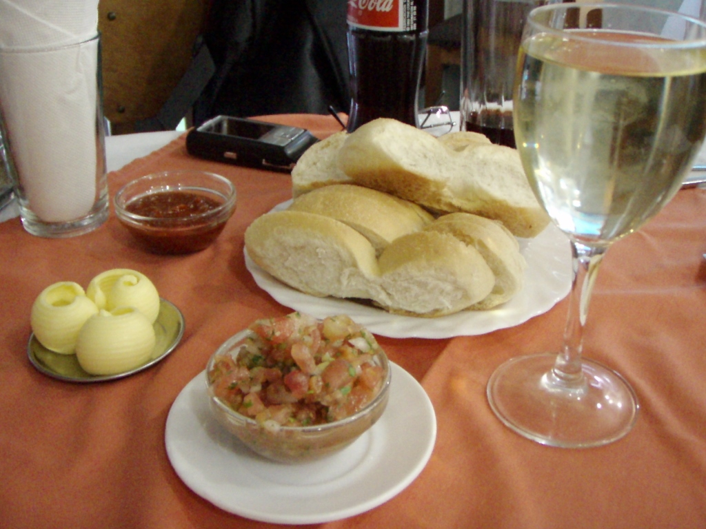 Pebre
Pebre
And then came the main course of the dinner which actually consisted of ten different dishes made of sea food. It was spectacular! Or we were just too hungry.
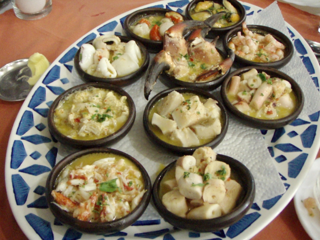 Sea food in Puerto Varas
Full of impressions and with our stomachs full as well, we went to the shore of the lake to enjoy in its beauty for a little while longer.
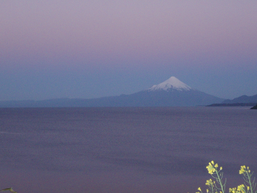 Lake Llanquihue and volcano Osorno
And when the night came, we first admired the full moon above Osorno and Llanquihue, after which we went to the town’s terminal from which we had the departure of the night coach to Santiago.
In Santiago we had one day of rest with a lot of great time with Saska, Dragi and Mare, as well as some time to repack and take new type of clothes, for the following morning we had a flight to Antofagasta in the north of the country.
The approximate route of our transfer to the north
We landed at the airport which is 25 km north of the town of Antofagasta and this was already a proper desert landscape. This is actually Atacama, the driest desert in the world which is located literally next to the Pacific. And yet, it is drier than Sahara. By the way, Atacama is very rich in minerals, there is a lot of copper and at the time we were there Chile was considered to be the biggest copper exporter in the world. There are also huge deposits of lithium which is increasingly demanded in the world market. In 1879, the north parts of the country were taken over by Chile from Bolivia during the War of the Pacific and since then Bolivia is a landlocked country, which continues to be a subject of negotiations to this very day.
At the airport we caught a taxi collectivo going to the town, but as we were alone in the car, the kind driver offered to take us for the same amount of money to a nice viewpoint where one can see an interesting rock formation in the ocean, La Portada. We enjoyed it a lot. Like the south, the north of the country has started to enchant us from the very beginning.
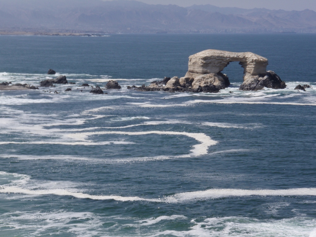 Antofagasta, La Portada
In Antofagasta, we first left our backpacks at the wardrobe office of the town’s coach terminal from where we had transportation to San Pedro de Atacama a couple of hours later. After that, we headed straight to the port where there is a fish market with fantastic small restaurants/kitchenettes where we first took seviche as a nice starter. Let me first explain about these “restaurants/kitchenettes.” Namely, I’ve seen this quite often in the green markets of Latin America. Around the market or in its centre, there is a number of small, separated sections with installed kitchens. This is used for preparing food and each of these places has a couple of tables that belong to it and where one may sit and eat. As for seviche, this is a type of dish prepared throughout South America. Small pieces of fish, sea food or chicken are mixed with spices and finely chopped vegetables, with addition of lime juice in which they “cook” for literally a few of minutes before they may be eaten. This is a very tasty dish. Since we were at a fish market here, all versions of the seviche originated from the Pacific and we bought a couple of them. They were packed for us “to go,” together with plastic cutlery and we ate them a few dozen metres away in the fishermen’s port looking at several sea lions that gathered up there.
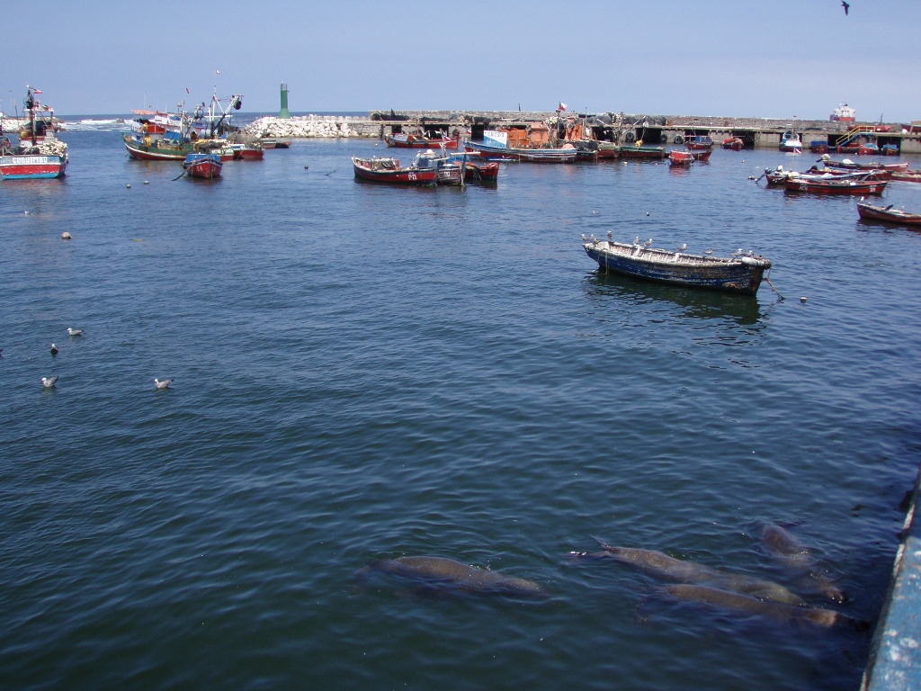 Antofagasta, the port with sea lions (down and right)
At the port, there were also numerous seagulls that were flying around us or were simply floating on the water, while a few pelicans quietly stood on the side and watched the whole thing from the roof of the market. After this short break, we went back to the market where we sat at one of those mini-restaurants and ordered a main course. The restaurants serve solely dishes made of fish and sea food, while raw and untreated samples are sold at the surrounding stalls. I think it cannot get fresher than that.
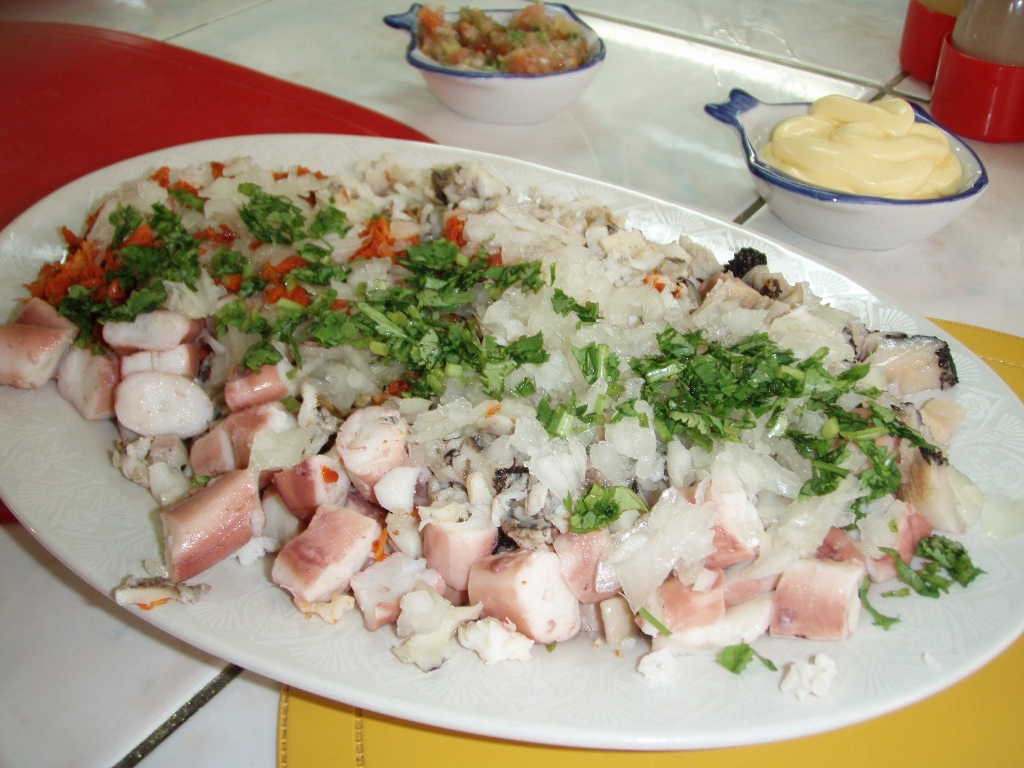 Antofagasta, a portion at a port’s restaurant
After the delicious lunch, we walked around the town’s centre for a while. The centre of Antofagasta has a number of buildings from the times past, but this is primarily an industrial town. There are numerous industrial plants around Antofagasta taking into consideration the proximity of the mines in Atacama and this is the biggest town in the north part of Chile.
The main square in Antofagasta, Plaza Colon, is a nicely arranged square full of greenery and flowers, with monuments, a big fountain and numerous benches where one may sit and relax. Next to the square, there is the Cathedral, as well as more recently built buildings and older buildings, while the traffic is quite lively.
 Antofagasta, the town’s main square
Still, we did not stay in Antofagasta for much longer, since we moved on to San Pedro. The road first climbs up a ridge that runs parallel to the coast and as soon as you get to the top of the ridge it is quite clear that you are in a desert. There are some barren hills and mountains that may be seen, but the landscape predominantly consists of flat areas covered in sand and pebbles which gradually rise and in the village of San Pedro de Atacama reach the height of 2408 m.