The afternoon excursion first took us to the Salt Mountains (Cordillera de la Sal). A few million years ago, there used to be sea here which in the meantime retreated (or rather, its bottom was lifted up), so that the salt has remained, as well as other minerals, and there is also the sand and the rocks.
 The Salt Mountains
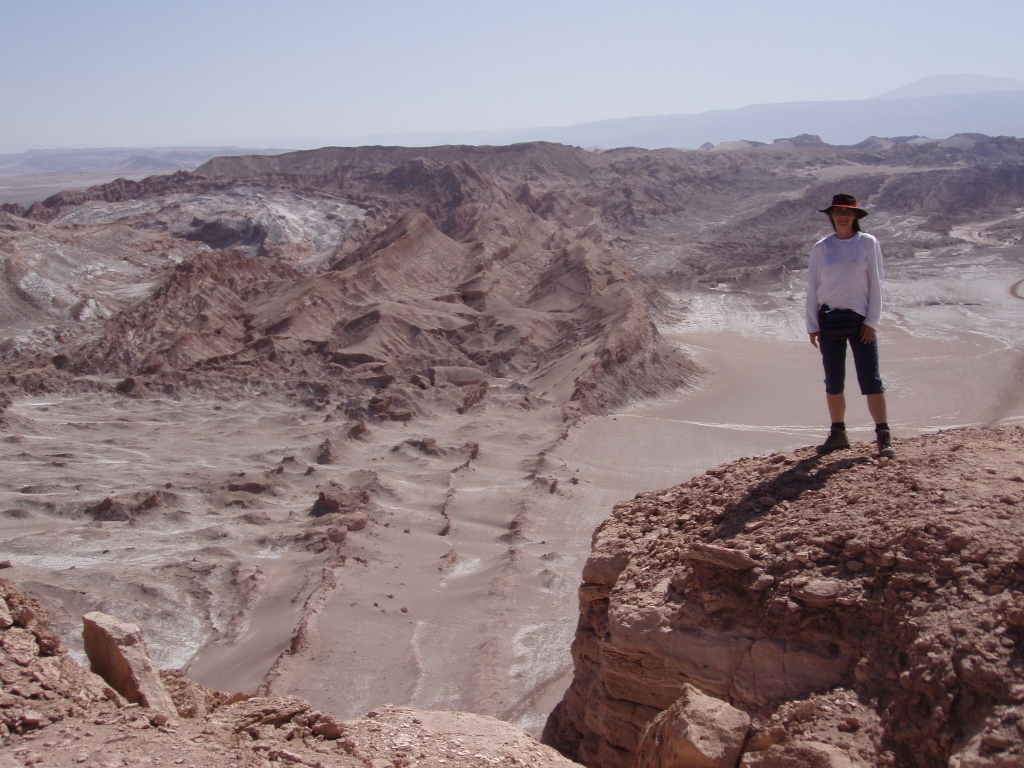
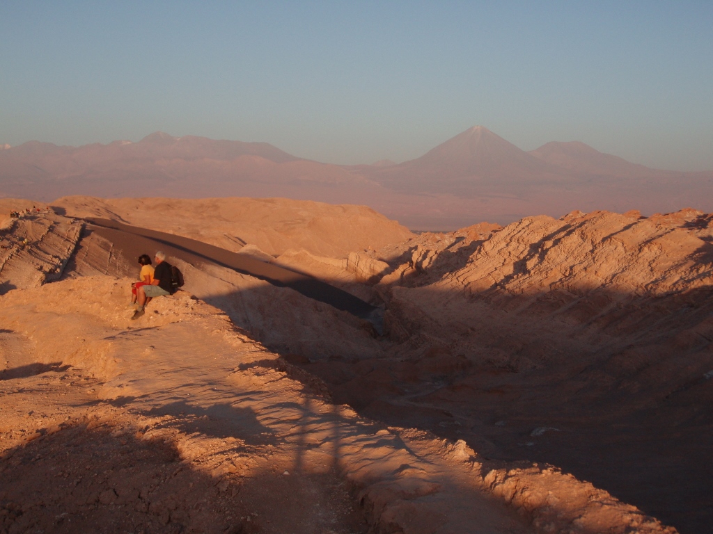
From there I could also see volcano Licancabur, 5916 m, which is located at the border between Chile and Bolivia and on the other side of which is Laguna Verde (see: https://www.svudapodji.com/en/salar-de-uyuni-peru-and-bolivia-summer-of-2005-part-3/). From the point at the Salt Mountains where we made the stop we could see in which direction the Moon Valley was, since we planned to visit it later, as well as Salar de Atacama which was in Sneza’s and my programme for the following day.
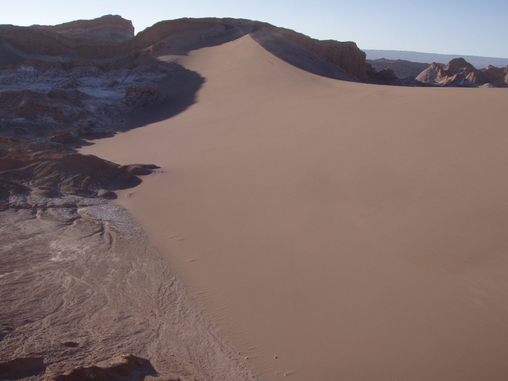
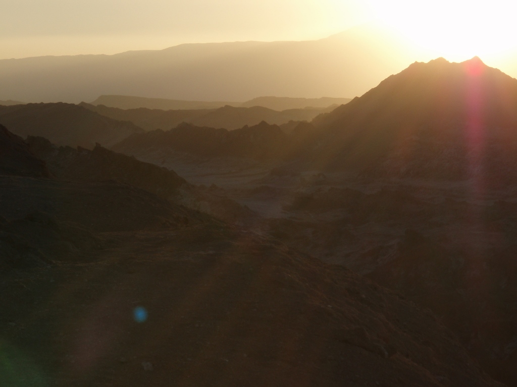
Still, we first went to the Valley of Death (Valle de la Muerte). One of the stories that tells of the reason why this valley has been named so says that it was on account of a “translation error.” Namely, some Belgian came here back in the day and said that the valley reminded him of Mars, the way he imagined it to be, since there was a lot of red colour. As he spoke French, somebody interpreted his Mars as death (fr. mort) and the valley has been stuck with the name. By the way, numerous excursions are organised in this valley for the lovers of sandboarding, which is in fact surfing down a sand dune, since there are sections here with exquisitely fine sand.
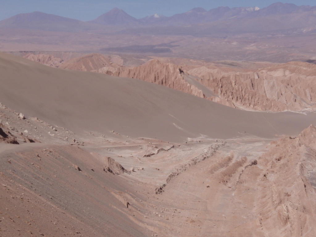 Valley of Death: sandboarding is done on the dark slope in the middle of the photo, while the cone of volcano Licancabur can be seen on the horizon
Then we headed for the Moon Valley (Valle de la Luna). The Moon Valley is a part of the Flamencos National Reserve. In order to get to this valley we partially followed the new asphalt road by which we had come from Antofagasta the day before. We passed by rocky hills the tops of which were white, but rather than snow this was all salt.
First we stopped to visit a small cave. In order to get to it, it is necessary to go through a narrow passage between the rocks. A good share of those rocks is not made of proper stone, but rather this is salt that has come up to the surface. This is how it goes. The water that brings the salt in a capillary manner gets to the surface, then it evaporates while the salt remains. Over time, the salt crystallizes and it can create even some large chunks that resemble quartz, which they of course aren’t.
After the visit to the cave we walked along a flat section that leads through a small gorge, but it was more or less a repetition of the same scenery, so we soon got back to the vehicle. In our mini-van we entered further into the Moon Valley in which large areas were covered by sand that fills up the space between barren rocks and elevations. Although the Moon Valley is a part of the Flamencos National Reserve, there are actually no flamingos here or any other animal or life for that matter. The guide told us that this was a rare place on earth where literally no living creature resides. It’s not just a question of hot sand, but of this enormous quantity of salt. Admittedly, every now and then an owl may be seen bringing here its catch it has hunted elsewhere and then it descends in the valley only in order to devour its prey and then it flies away again.
The next stop was at the place called the Three Maries (Tres Marias). There are a few smaller upright rocks the shape of which through plentiful imagination reminds of women who pray, hold a baby or kneel. Near this site there is also an old, now abandoned, salt mine. There we also climbed a small elevation in order to get a better view of the surrounding area. It was very windy that day and the wind was strong enough almost to the point of moving us.
In addition, in a few spots here we could see solid, polished and transparent salt crystals that we walked on.
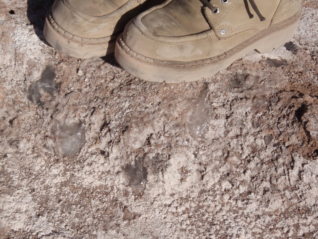 Moon Valley, walking over salt crystals near the Three Maries
Then we started to go back, but with another very attractive stop. Namely, at some point, like the visitors travelling in other vehicles, we got free time to climb a higher elevation that had three good viewpoints from which it was nice to watch the sunset. It was also possible to walk over the crest of a large sand dune and go to another elevation, but the two of us decided to go to the point that was farthest away from our vehicle and the road. The simple landscape elements were again magnificently beautiful and additionally accentuated by the colours that went from white to different nuances of brown, with additions of red hues and the infinite and perfect blue sky. All of this was strengthened by the sun that was setting and shedding its horizontal rays, emphasizing the colours and creating long shadows, thus rendering a dramatic effect to the entire scene.
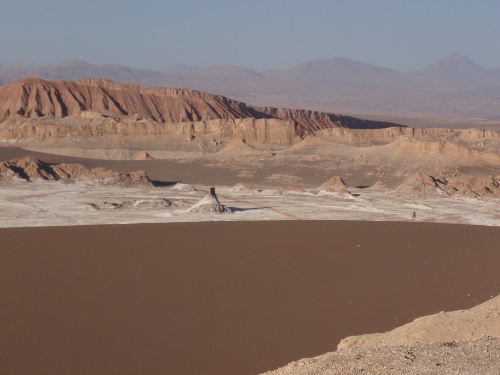
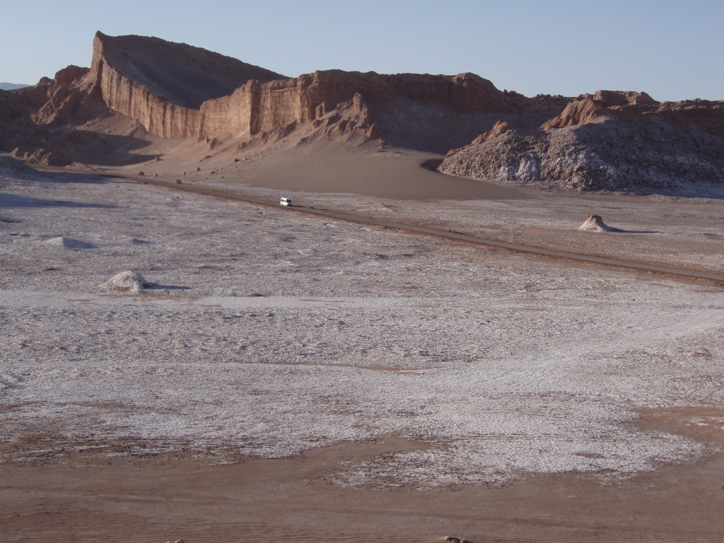 Moon Valley, the central road through the valley; all of the white is the salt that has made its way through to the surface
 Moon Valley, the sand dune connecting two rocky elevations
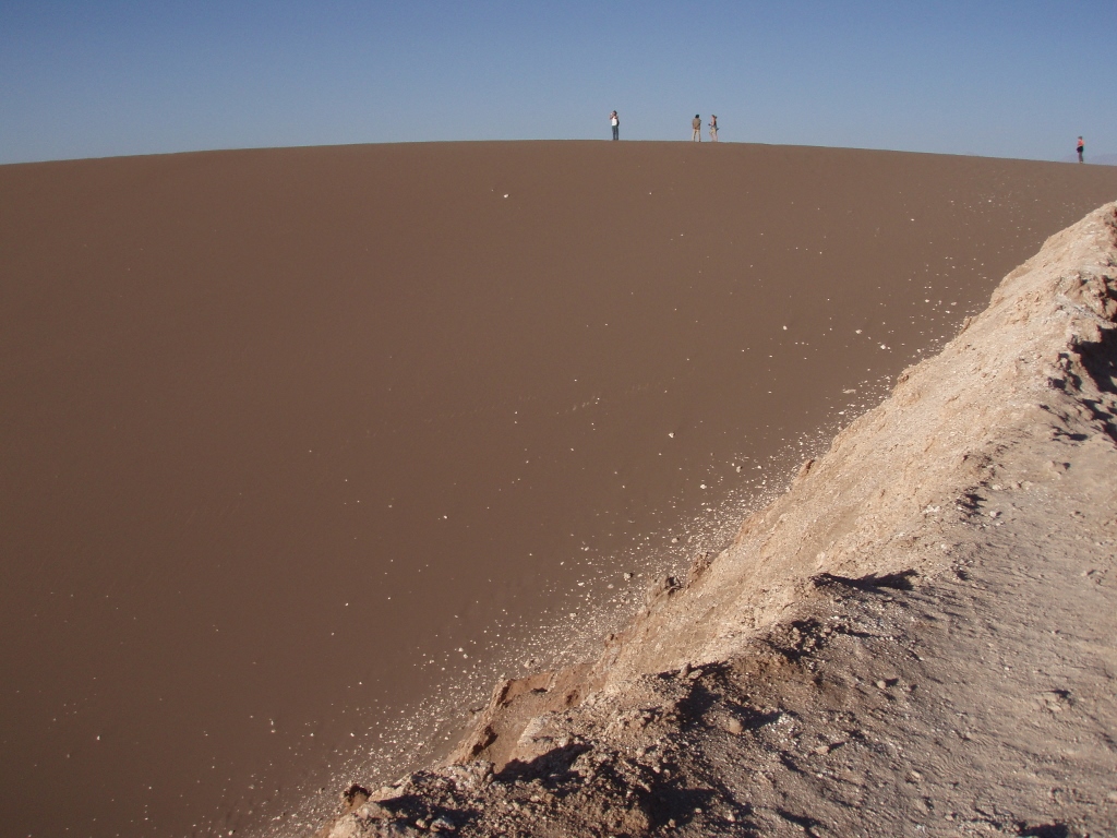 Moon Valley, people walking along the crest of the sand dune
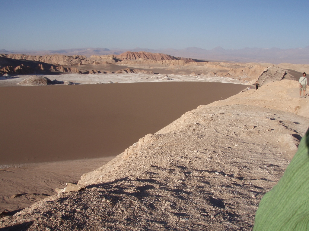 Moon Valley, the sand dune separates the elevation and the ridge we are walking on from the central part of the valley with the road; everything is farther than it may seem – pay attention to the tiny humans on the right-hand side of the photograph (behind the two who are clearly visible)
 Moon Valley, the sand dune separates the elevation and the ridge we are walking on from the central part of the valley with the road; here it is also possible to see a human figure walking along the crest of the dune and there is Licancabur in the distance
 Moon Valley, the sun is getting ready to set
 Moon Valley, long shadows and volcano Licancabur in the distance
And then the sun went down and we slowly went back to the mini-bus and eventually to San Pedro. The day was great and we were overwhelmed with impressions. On the other hand, the day was also exceptionally long so soon after our return to the village, we went to bed.
The next day we had another trip planned, but it was all significantly easier as we didn’t have to get up at the crack of dawn. In addition, the van was rather big and comfortable, and the guide was quite nice, so everything was to our liking. The idea was to visit Salar de Atacama, a couple of Altiplano lakes, as well as a couple of villages.
First we went to the sector of Soncor at lake Chaxa within Salar de Atacama which is situated at around 2300 m above sea level. This is the third largest salt lake in the world (after Uyuni, Bolivia, and Salt Lake, USA), but this is not all sodium chloride, i.e., kitchen salt. There is also a lot of potassium, boron, magnesium and lithium. According to our guide, some 40% of the world deposits are located here.
At the place where we stopped, the surroundings appeared as if covered in some kind of debris. That was all salt. Rather dirty, but salt nonetheless. Between those sections, there was a flat path which we followed in order to visit the salar.
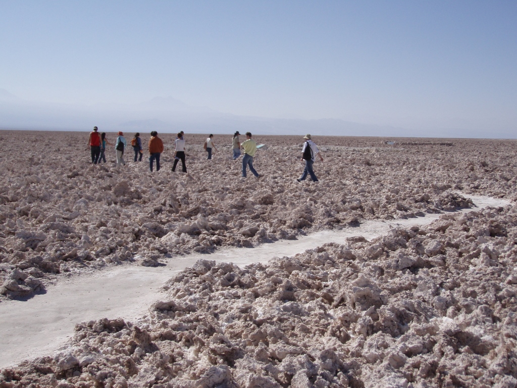 Walking around Salar de Atacama
At one point we came across a biggish depression filled with water. The guide collected some of that water in her hands and showed us the tiny little vertebrates that live in the water and that serve as food for flamingos. Those tiny animals have in them beta-carotene, the same one that is found in carrots and tomatoes, and this is precisely what gives flamingos their characteristic pink colour.
Here we saw two types of flamingos – the Chilean and the Andean ones. There is also a third version that may be seen here and that is the James's flamingo. Roughly speaking, the differences that are the most easy to observe are linked to the fact that the Andean flamingo has a black beak and a black tail, the Chilean one has a black beak and a pink tail, while the James’s flamingo is all pink.
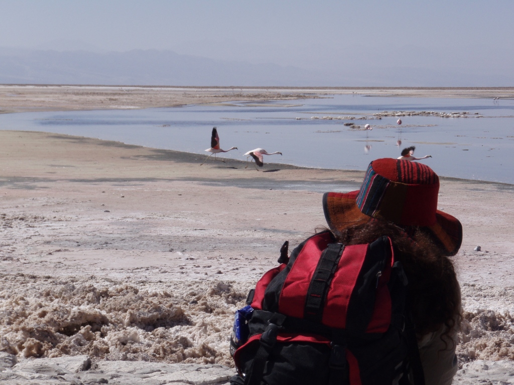 Salar de Atacama, watching flamingos
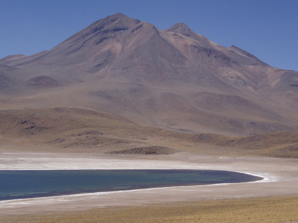
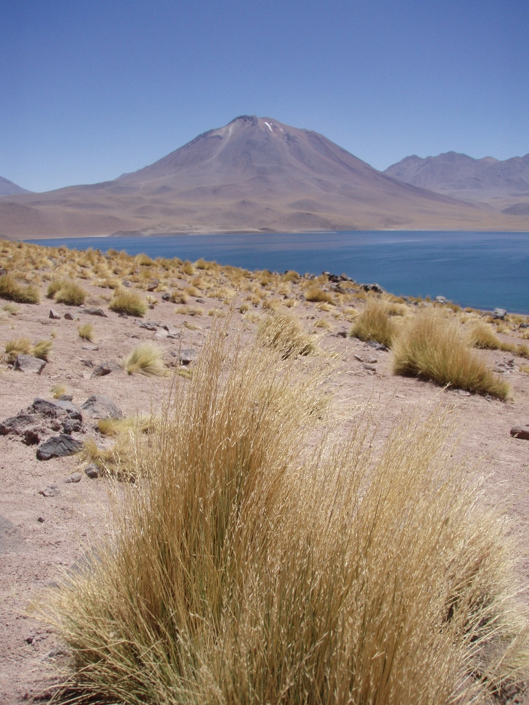
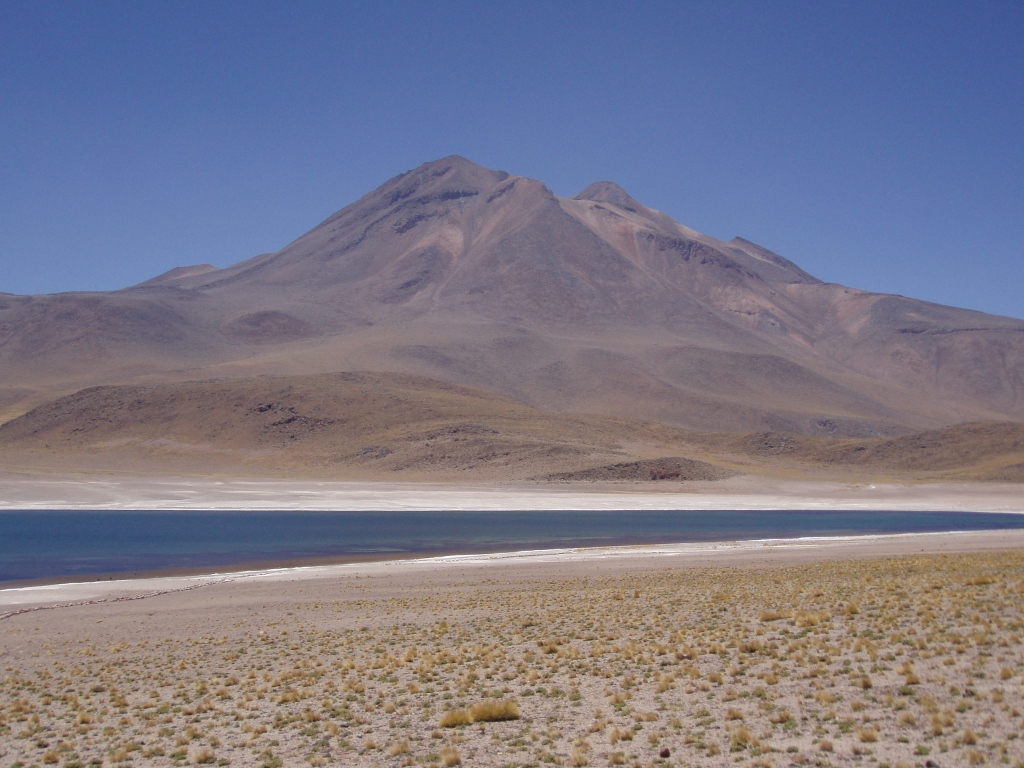
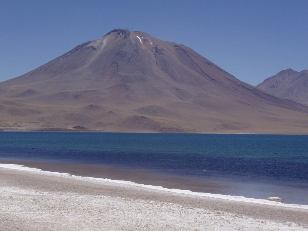
After our visit to the salt lake we drove uphill and after a while we reached the altitude of around 4200 m at which lakes Miscanti and Miñiques are located. The vistas were breathtaking and it is a real pity that one cannot go there any time the heart desires.
Lake Miscanti is the bigger one and it covers the area of 15 square kilometres. Its surface is at 4120 m a.s.l. In winter, it may happen that the entire surface of the lake freezes. This was not the case when we were there and we could enjoy in yet another gorgeous example of effortless beauty. On the left-hand side from the point at which we stood and admired the lake, there was volcano Miscanti which the lake had been named after.
 Lake Miscanti
 Lake and volcano Miscanti
From the road where the vehicle was parked, we followed a path in order to get to the shore of the lake.
 Lake Miscanti
 Lake Miscanti
On the shore we sat on the ground for a while and other than taking photos, we spent some time in silence while enjoying the landscape around us. In addition to the beautiful scenery, from my visits to Altiplano, the high-altitude desert plain in Peru, Bolivia and Chile, I have particularly kept in my mind the nuance of the blue sky that may be seen there. To my mind, this is the most beautiful blue colour and I liked it so much, I enjoyed in it so much that while I was looking at it in those moments of abandonment I felt an intensive desire to become that blue colour! Still, no matter how much I filmed with my photo and video cameras, it is impossible to convey the intensity of the blueness and the strength of impression when you are vaulted by that purer than pure firmament.
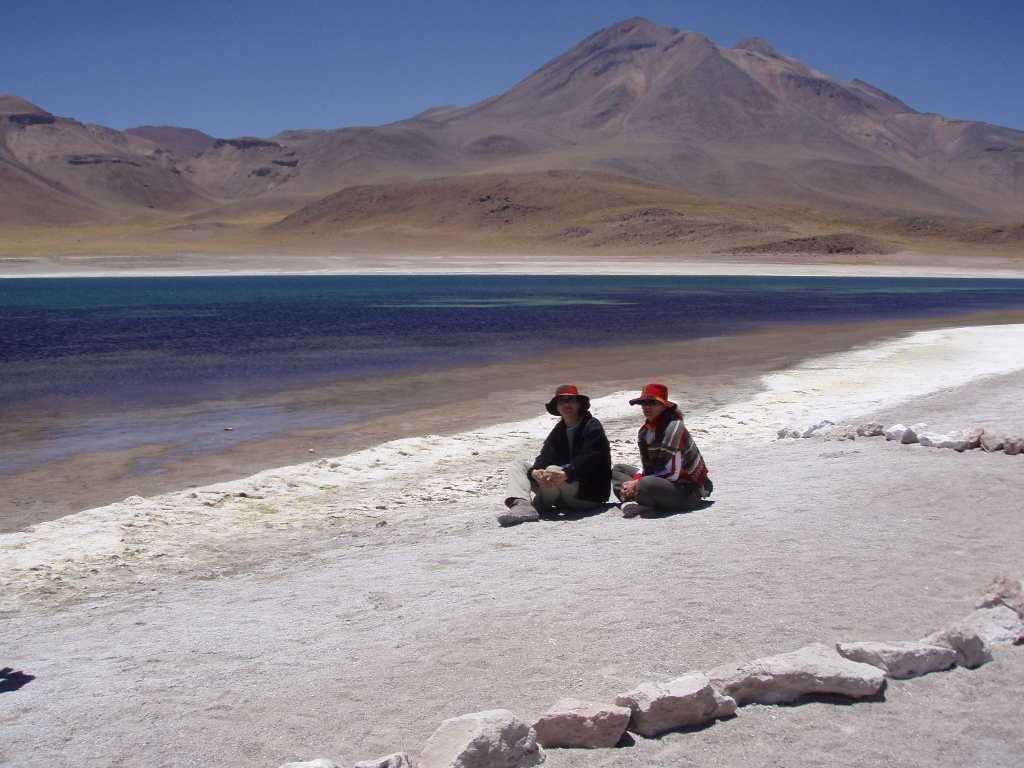 Relaxing on the shore of lake Miscanti
The name Miñiques also refers both to a volcano and a lake that lies beside it. The surface of the lake is 1.5 square kilometres, meaning that it is considerably smaller than lake Miscanti. We were not allowed to go to the very shore because there were some birds that breed there. From the elevation at which we were standing it was possible to see something that appeared like small patches of piled grass that protruded from the shallow water near the shore. Those were the nests of the birds made of algae and for this reason people are not allowed to go near the lake in order not to disturb the birds. The reason why the birds nest right here is that this lake is surrounded by higher ground, as if it were in a deeper hole, which makes it protected against the impact of the wind and coldness. While standing there, we also saw some vicunas grazing calmly near the lake.